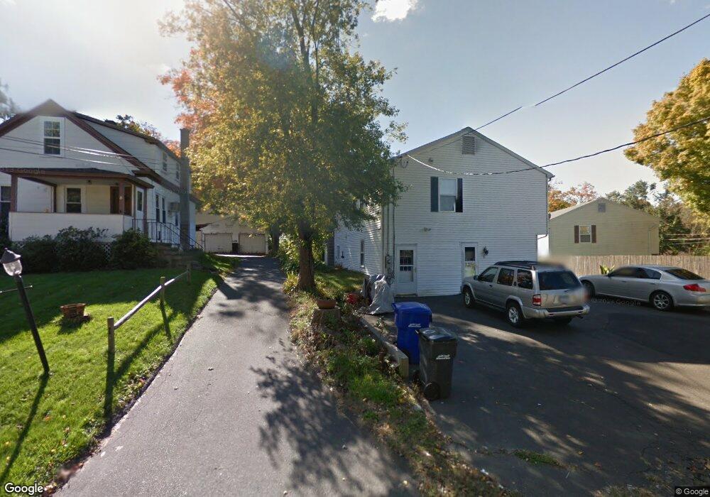
1 E Broad St Danbury, CT 06810
Estimated Value: $489,000 - $516,000
3
Beds
2
Baths
1,108
Sq Ft
$455/Sq Ft
Est. Value
About This Home
This home is located at 1 E Broad St, Danbury, CT 06810 and is currently estimated at $503,831, approximately $454 per square foot. 1 E Broad St is a home located in Fairfield County with nearby schools including Stadley Rough School, Broadview Middle School, and Danbury High School.
Ownership History
Date
Name
Owned For
Owner Type
Purchase Details
Closed on
Mar 30, 2010
Sold by
Deutsche Bk
Bought by
Phoung Mach and Samrith Lily C
Current Estimated Value
Home Financials for this Owner
Home Financials are based on the most recent Mortgage that was taken out on this home.
Original Mortgage
$149,900
Interest Rate
5.02%
Purchase Details
Closed on
Aug 19, 2009
Sold by
Salinas Manuel R
Bought by
Deutsche Bank Natl T C
Purchase Details
Closed on
Dec 19, 2005
Sold by
Somchit Patrick and Krom Laar
Bought by
Salinas Manuel
Home Financials for this Owner
Home Financials are based on the most recent Mortgage that was taken out on this home.
Original Mortgage
$311,200
Interest Rate
7.55%
Create a Home Valuation Report for This Property
The Home Valuation Report is an in-depth analysis detailing your home's value as well as a comparison with similar homes in the area
Home Values in the Area
Average Home Value in this Area
Purchase History
| Date | Buyer | Sale Price | Title Company |
|---|---|---|---|
| Phoung Mach | $199,900 | -- | |
| Deutsche Bank Natl T C | -- | -- | |
| Salinas Manuel | $389,000 | -- |
Source: Public Records
Mortgage History
| Date | Status | Borrower | Loan Amount |
|---|---|---|---|
| Closed | Salinas Manuel | $149,900 | |
| Previous Owner | Salinas Manuel | $311,200 | |
| Previous Owner | Salinas Manuel | $77,800 |
Source: Public Records
Tax History
| Year | Tax Paid | Tax Assessment Tax Assessment Total Assessment is a certain percentage of the fair market value that is determined by local assessors to be the total taxable value of land and additions on the property. | Land | Improvement |
|---|---|---|---|---|
| 2025 | $6,698 | $268,030 | $61,320 | $206,710 |
| 2024 | $6,551 | $268,030 | $61,320 | $206,710 |
| 2023 | $6,253 | $268,030 | $61,320 | $206,710 |
| 2022 | $5,655 | $200,400 | $63,800 | $136,600 |
| 2021 | $5,531 | $200,400 | $63,800 | $136,600 |
| 2020 | $5,531 | $200,400 | $63,800 | $136,600 |
| 2019 | $5,531 | $200,400 | $63,800 | $136,600 |
| 2018 | $5,531 | $200,400 | $63,800 | $136,600 |
| 2017 | $5,466 | $188,800 | $60,800 | $128,000 |
| 2016 | $5,415 | $188,800 | $60,800 | $128,000 |
| 2015 | $5,335 | $188,800 | $60,800 | $128,000 |
| 2014 | $5,211 | $188,800 | $60,800 | $128,000 |
Source: Public Records
Map
Nearby Homes
- 14 Newtown Rd Unit B6
- 14 Newtown Rd Unit A5
- 24 Valley View Dr
- 16 Springside Ave
- 902 Sienna Dr Unit 902
- 304 Sienna Dr Unit 304
- 53 Faith Ln
- 37 Faith Ln Unit 37
- 126 Triangle St Unit B43
- 126 Triangle St Unit B10
- 21 Crestview Ln
- 51 Wildman St Unit 305
- 31 Wildman St Unit 33
- 35 Taylor St
- 37 Taylor St
- 20 Oak Ridge Gate
- 27 Crows Nest Ln Unit 12I
- 63 Brentwood Cir Unit 63
- 424 Center Meadow Ln Unit 424
- 185 Brentwood Cir Unit 185
Your Personal Tour Guide
Ask me questions while you tour the home.