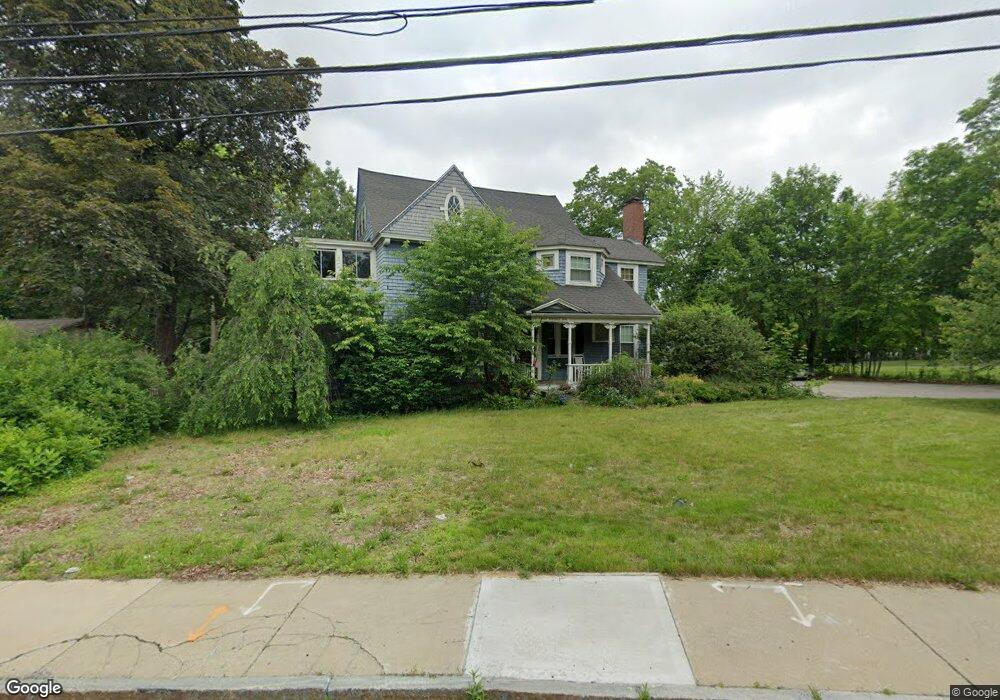
1 E Dunstable Rd Nashua, NH 03060
South End Nashua NeighborhoodEstimated Value: $670,000 - $780,000
5
Beds
3
Baths
3,624
Sq Ft
$199/Sq Ft
Est. Value
About This Home
This home is located at 1 E Dunstable Rd, Nashua, NH 03060 and is currently estimated at $719,730, approximately $198 per square foot. 1 E Dunstable Rd is a home located in Hillsborough County with nearby schools including Sunset Heights Elementary School, Elm Street Middle School, and Nashua High School North.
Ownership History
Date
Name
Owned For
Owner Type
Purchase Details
Closed on
Mar 31, 2025
Sold by
Nashua City Of
Bought by
Terkoski Mary E
Current Estimated Value
Purchase Details
Closed on
Dec 13, 2012
Sold by
Elizabeth Terkoski F M and Elizabeth Conrad
Bought by
Terkoski Mary E
Purchase Details
Closed on
Dec 4, 2008
Sold by
Prieto James
Bought by
Elizabeth Terkoski F M and Elizabeth Terkoski
Purchase Details
Closed on
Jun 26, 2002
Sold by
Vetter Mary Susan
Bought by
Prieto James
Create a Home Valuation Report for This Property
The Home Valuation Report is an in-depth analysis detailing your home's value as well as a comparison with similar homes in the area
Home Values in the Area
Average Home Value in this Area
Purchase History
| Date | Buyer | Sale Price | Title Company |
|---|---|---|---|
| Terkoski Mary E | -- | None Available | |
| Terkoski Mary E | -- | None Available | |
| Terkoski Mary E | -- | -- | |
| Terkoski Mary E | -- | -- | |
| Terkoski Mary E | -- | -- | |
| Elizabeth Terkoski F M | $447,000 | -- | |
| Elizabeth Terkoski F M | $447,000 | -- | |
| Prieto James | $310,000 | -- | |
| Prieto James | $310,000 | -- |
Source: Public Records
Mortgage History
| Date | Status | Borrower | Loan Amount |
|---|---|---|---|
| Previous Owner | Prieto James | $60,000 | |
| Previous Owner | Prieto James | $202,000 | |
| Previous Owner | Prieto James | $359,650 |
Source: Public Records
Tax History
| Year | Tax Paid | Tax Assessment Tax Assessment Total Assessment is a certain percentage of the fair market value that is determined by local assessors to be the total taxable value of land and additions on the property. | Land | Improvement |
|---|---|---|---|---|
| 2025 | $10,706 | $636,100 | $162,000 | $474,100 |
| 2024 | $10,114 | $636,100 | $162,000 | $474,100 |
| 2023 | $10,092 | $553,600 | $129,600 | $424,000 |
| 2022 | $10,004 | $553,600 | $129,600 | $424,000 |
| 2021 | $9,590 | $413,000 | $86,400 | $326,600 |
| 2020 | $9,342 | $413,200 | $86,400 | $326,800 |
| 2019 | $6,475 | $413,200 | $86,400 | $326,800 |
| 2018 | $8,764 | $413,200 | $86,400 | $326,800 |
| 2017 | $7,533 | $292,100 | $81,900 | $210,200 |
| 2016 | $6,109 | $292,100 | $81,900 | $210,200 |
| 2015 | $7,165 | $292,100 | $81,900 | $210,200 |
| 2014 | $7,025 | $292,100 | $81,900 | $210,200 |
Source: Public Records
Map
Nearby Homes
- 397 S Main St
- 23 Eastman St
- 6 Mountain View St
- 6 Hayden St
- 362 Main St
- 25 E Dunstable Rd
- 31 Lincoln Ave
- 1 Thompson Rd Unit 109
- 72 Linwood St
- 8 Collier Ct
- 17 1/2 Balcom St
- 103 Ash St
- 24 E Otterson St
- 51 Farmington Rd
- 21 Clearview Dr
- 6 Buck St
- 14 Mulberry St
- 12 Oakdale Ave
- 21 Williams St
- 18-20 Maple St
- 1A E Dunstable Rd
- 3 Catherine St
- 2 Catherine St
- 4 Catherine St
- 5 Catherine St
- 6 Catherine St
- 1B E Dunstable Rd
- 8-8 1/2 Markar St
- 9-9 1/2 Nevada St
- 393 S Main St
- 393 1/2 S Main St Unit 206
- 394 S Main St
- 8 Catherine St
- 396 S Main St
- 9 Catherine St
- 4 E Dunstable Rd
- 392 Main St
- 398 S Main St
- 3 E Dunstable Rd
- 395 S Main St
Your Personal Tour Guide
Ask me questions while you tour the home.