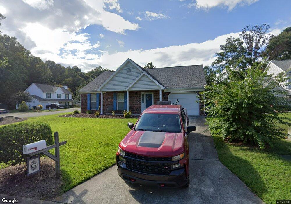
1 Fire Rock Place Durham, NC 27703
Eastern Durham NeighborhoodEstimated Value: $304,354 - $329,000
3
Beds
2
Baths
1,224
Sq Ft
$257/Sq Ft
Est. Value
About This Home
This home is located at 1 Fire Rock Place, Durham, NC 27703 and is currently estimated at $314,339, approximately $256 per square foot. 1 Fire Rock Place is a home located in Durham County with nearby schools including Glenn Elementary, John W Neal Middle School, and Southern School of Energy & Sustainability.
Ownership History
Date
Name
Owned For
Owner Type
Purchase Details
Closed on
Feb 20, 2004
Sold by
Johnson Darrell and Johnson Marie Susan
Bought by
Graham Walter and Graham Andrea N
Current Estimated Value
Home Financials for this Owner
Home Financials are based on the most recent Mortgage that was taken out on this home.
Original Mortgage
$103,350
Outstanding Balance
$48,605
Interest Rate
5.87%
Mortgage Type
Purchase Money Mortgage
Estimated Equity
$265,734
Create a Home Valuation Report for This Property
The Home Valuation Report is an in-depth analysis detailing your home's value as well as a comparison with similar homes in the area
Home Values in the Area
Average Home Value in this Area
Purchase History
| Date | Buyer | Sale Price | Title Company |
|---|---|---|---|
| Graham Walter | $129,500 | -- |
Source: Public Records
Mortgage History
| Date | Status | Borrower | Loan Amount |
|---|---|---|---|
| Open | Graham Walter | $103,350 | |
| Closed | Graham Walter | $25,800 |
Source: Public Records
Tax History Compared to Growth
Tax History
| Year | Tax Paid | Tax Assessment Tax Assessment Total Assessment is a certain percentage of the fair market value that is determined by local assessors to be the total taxable value of land and additions on the property. | Land | Improvement |
|---|---|---|---|---|
| 2025 | $3,003 | $302,925 | $57,195 | $245,730 |
| 2024 | $2,225 | $159,479 | $24,680 | $134,799 |
| 2023 | $2,089 | $159,479 | $24,680 | $134,799 |
| 2022 | $2,041 | $159,479 | $24,680 | $134,799 |
| 2021 | $2,032 | $159,479 | $24,680 | $134,799 |
| 2020 | $1,984 | $159,479 | $24,680 | $134,799 |
| 2019 | $1,984 | $159,479 | $24,680 | $134,799 |
| 2018 | $1,742 | $128,385 | $24,680 | $103,705 |
| 2017 | $1,729 | $128,385 | $24,680 | $103,705 |
| 2016 | $1,670 | $128,385 | $24,680 | $103,705 |
| 2015 | $2,196 | $158,629 | $29,775 | $128,854 |
| 2014 | $2,196 | $158,629 | $29,775 | $128,854 |
Source: Public Records
Map
Nearby Homes
- 4 Fire Rock Place
- 5609 Thistlerock Ln
- 4 N Berrymeadow Ln
- 1 Thorn Brook Ct
- 103 Bermuda Green Dr
- 5409 Hadrian Dr
- 31 S Angela Cir
- 4807 Tyne Dr
- 10 Autrey Mill Cir
- 106 Newberry Ln
- 210 Stallings Rd
- 110 Kindlewood Dr
- 2 Tarrywood Ct
- 214 Cloverdale Dr
- 3801 Tyne Dr
- 59 Enesco Cir
- 2800-2809 Napoli Dr
- 612 Chivalry Dr
- 406 Robbins Rd
- 402 Robbins Rd
- 3 Fire Rock Place
- 2 Redear Place
- 4415 Armitage Dr
- 4412 Armitage Dr
- 4410 Armitage Dr
- 4 Redear Place
- 4414 Armitage Dr
- 4408 Armitage Dr
- 5 Fire Rock Place
- 7 Fire Rock Place
- 6 Fire Rock Place
- 6 Redear Place
- 4416 Armitage Dr
- 4406 Armitage Dr
- 4417 Armitage Dr
- 1 Redear Place
- 4404 Armitage Dr
- 8 Redear Place
- 4419 Armitage Dr
- 5 Redear Place