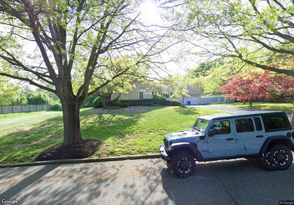
1 Gilder Ct Northport, NY 11768
Estimated Value: $902,000 - $1,258,000
5
Beds
4
Baths
--
Sq Ft
1
Acres
About This Home
This home is located at 1 Gilder Ct, Northport, NY 11768 and is currently estimated at $1,091,081. 1 Gilder Ct is a home located in Suffolk County with nearby schools including Northport Senior High School, The School House, and Trinity Regional School-East Northport Campus.
Ownership History
Date
Name
Owned For
Owner Type
Purchase Details
Closed on
Apr 10, 2019
Sold by
Joan M Mannix Irt and Mannix
Bought by
Baltera Robert and Baltera Cynthia
Current Estimated Value
Home Financials for this Owner
Home Financials are based on the most recent Mortgage that was taken out on this home.
Original Mortgage
$480,000
Outstanding Balance
$418,433
Interest Rate
4.3%
Mortgage Type
New Conventional
Estimated Equity
$672,648
Purchase Details
Closed on
Jan 6, 2011
Sold by
Mannix Joan
Bought by
Mannix Ernest A and Joan M Mannix Irrevocable Trust
Create a Home Valuation Report for This Property
The Home Valuation Report is an in-depth analysis detailing your home's value as well as a comparison with similar homes in the area
Home Values in the Area
Average Home Value in this Area
Purchase History
| Date | Buyer | Sale Price | Title Company |
|---|---|---|---|
| Baltera Robert | $600,000 | -- | |
| Baltera Robert | $600,000 | -- | |
| Mannix Ernest A | -- | -- | |
| Mannix Ernest A | -- | -- |
Source: Public Records
Mortgage History
| Date | Status | Borrower | Loan Amount |
|---|---|---|---|
| Open | Baltera Robert | $480,000 | |
| Closed | Baltera Robert | $480,000 |
Source: Public Records
Tax History Compared to Growth
Tax History
| Year | Tax Paid | Tax Assessment Tax Assessment Total Assessment is a certain percentage of the fair market value that is determined by local assessors to be the total taxable value of land and additions on the property. | Land | Improvement |
|---|---|---|---|---|
| 2024 | $12,966 | $3,780 | $800 | $2,980 |
| 2023 | $6,483 | $3,780 | $800 | $2,980 |
| 2022 | $12,238 | $3,780 | $800 | $2,980 |
| 2021 | $13,456 | $4,300 | $800 | $3,500 |
| 2020 | $14,369 | $4,300 | $800 | $3,500 |
| 2019 | $28,739 | $0 | $0 | $0 |
| 2018 | $10,443 | $4,550 | $800 | $3,750 |
| 2017 | $10,443 | $4,550 | $800 | $3,750 |
| 2016 | $11,244 | $4,900 | $800 | $4,100 |
| 2015 | -- | $4,900 | $800 | $4,100 |
| 2014 | -- | $4,900 | $800 | $4,100 |
Source: Public Records
Map
Nearby Homes
- 1372 Pulaski Rd
- 13811387 Pulaski Rd Unit 1387
- 12 Wren Ct
- 1293 Pulaski Rd
- 8 Tanager Ln
- 21 Cullen Dr
- 1170 5th Ave
- 3 Blueberry Hill
- 1420 Pulaski Rd
- 1270 Pulaski Rd
- 474 Old Bridge Rd
- 62 Forest Dr
- 96 Soundview Ave
- 14 Heath Ln
- 4 Cori Ln
- 96 Bellecrest Ave
- 40 Irving Johnson St
- 26 Irving Johnson St
- 19 Carlson Ln
- 59 Grand Place