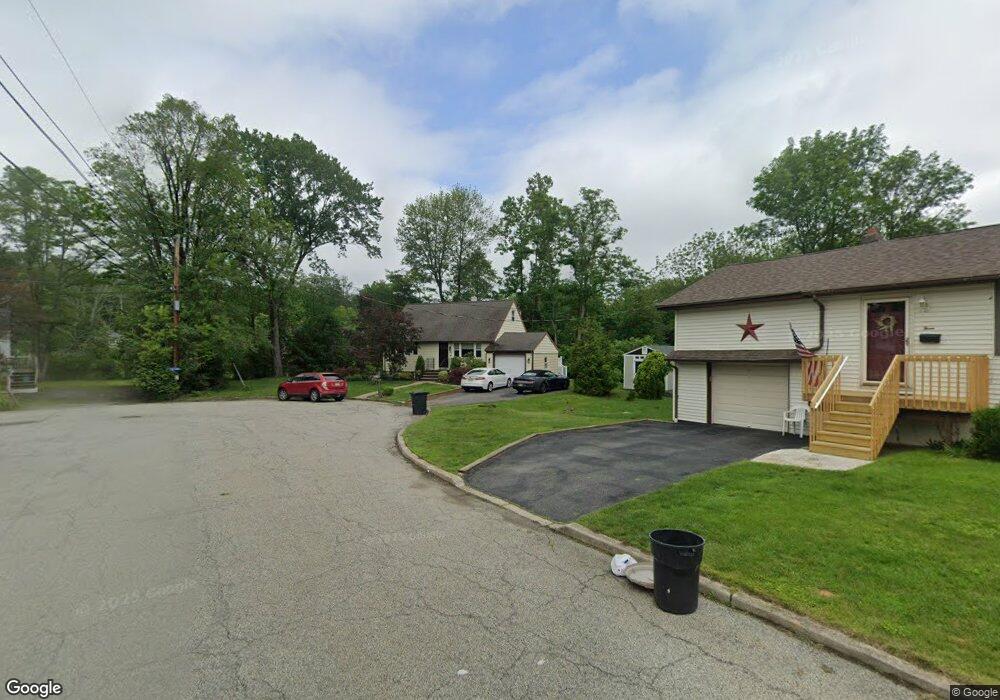
1 Glen Burnie Place Haskell, NJ 07420
Estimated Value: $457,178 - $511,000
--
Bed
--
Bath
1,305
Sq Ft
$369/Sq Ft
Est. Value
About This Home
This home is located at 1 Glen Burnie Place, Haskell, NJ 07420 and is currently estimated at $482,045, approximately $369 per square foot. 1 Glen Burnie Place is a home located in Passaic County with nearby schools including Lakeland Reg High School and St Marys School.
Ownership History
Date
Name
Owned For
Owner Type
Purchase Details
Closed on
May 31, 2002
Sold by
Savastano Peter
Bought by
Sinsimer Michael and Sinsimer Cheryl
Current Estimated Value
Home Financials for this Owner
Home Financials are based on the most recent Mortgage that was taken out on this home.
Original Mortgage
$260,850
Outstanding Balance
$110,137
Interest Rate
6.79%
Mortgage Type
FHA
Estimated Equity
$371,908
Purchase Details
Closed on
Jan 27, 2000
Sold by
Savastano Peter S and Savastano Darlene
Bought by
Savastano Peter S
Purchase Details
Closed on
Jul 23, 1993
Sold by
Buonomo Susan
Bought by
Savastano Pete and Savastano Darlen
Home Financials for this Owner
Home Financials are based on the most recent Mortgage that was taken out on this home.
Original Mortgage
$120,000
Interest Rate
6.69%
Create a Home Valuation Report for This Property
The Home Valuation Report is an in-depth analysis detailing your home's value as well as a comparison with similar homes in the area
Home Values in the Area
Average Home Value in this Area
Purchase History
| Date | Buyer | Sale Price | Title Company |
|---|---|---|---|
| Sinsimer Michael | $265,000 | -- | |
| Savastano Peter S | $58,695 | -- | |
| Savastano Pete | $135,000 | -- |
Source: Public Records
Mortgage History
| Date | Status | Borrower | Loan Amount |
|---|---|---|---|
| Open | Sinsimer Michael | $260,850 | |
| Previous Owner | Savastano Pete | $120,000 |
Source: Public Records
Tax History Compared to Growth
Tax History
| Year | Tax Paid | Tax Assessment Tax Assessment Total Assessment is a certain percentage of the fair market value that is determined by local assessors to be the total taxable value of land and additions on the property. | Land | Improvement |
|---|---|---|---|---|
| 2025 | $9,105 | $211,100 | $85,800 | $125,300 |
| 2024 | $8,923 | $211,100 | $85,800 | $125,300 |
| 2022 | $8,735 | $211,100 | $85,800 | $125,300 |
| 2021 | $8,545 | $211,100 | $85,800 | $125,300 |
| 2020 | $8,450 | $211,100 | $85,800 | $125,300 |
| 2019 | $8,248 | $211,100 | $85,800 | $125,300 |
| 2018 | $8,085 | $211,100 | $85,800 | $125,300 |
| 2017 | $7,895 | $211,100 | $85,800 | $125,300 |
| 2016 | $7,701 | $211,100 | $85,800 | $125,300 |
| 2015 | $7,591 | $211,100 | $85,800 | $125,300 |
| 2014 | $7,441 | $211,100 | $85,800 | $125,300 |
Source: Public Records
Map
Nearby Homes
- 19 Skyland Ave
- 21 Bartholdi Ave
- 3 Elm St
- 24 Roseland Ave
- 1025 Ringwood Ave
- 5 Storms Place
- 6 Elston Ct
- 28 Elston Ct
- 43 Elston Ct Unit 301
- 17 Locust St
- 12 Franklin Place
- 45 Buena Vista Way E
- 35 Smith Ave
- 23 Dogwood Ln
- 19 Dogwood Ln Unit 19
- 19 Dogwood Ln Unit U9F
- 72 Burnside Place
- 50 W Shore Dr
- 48 Overlook Rd
- 9116 Warrens Way Unit 116