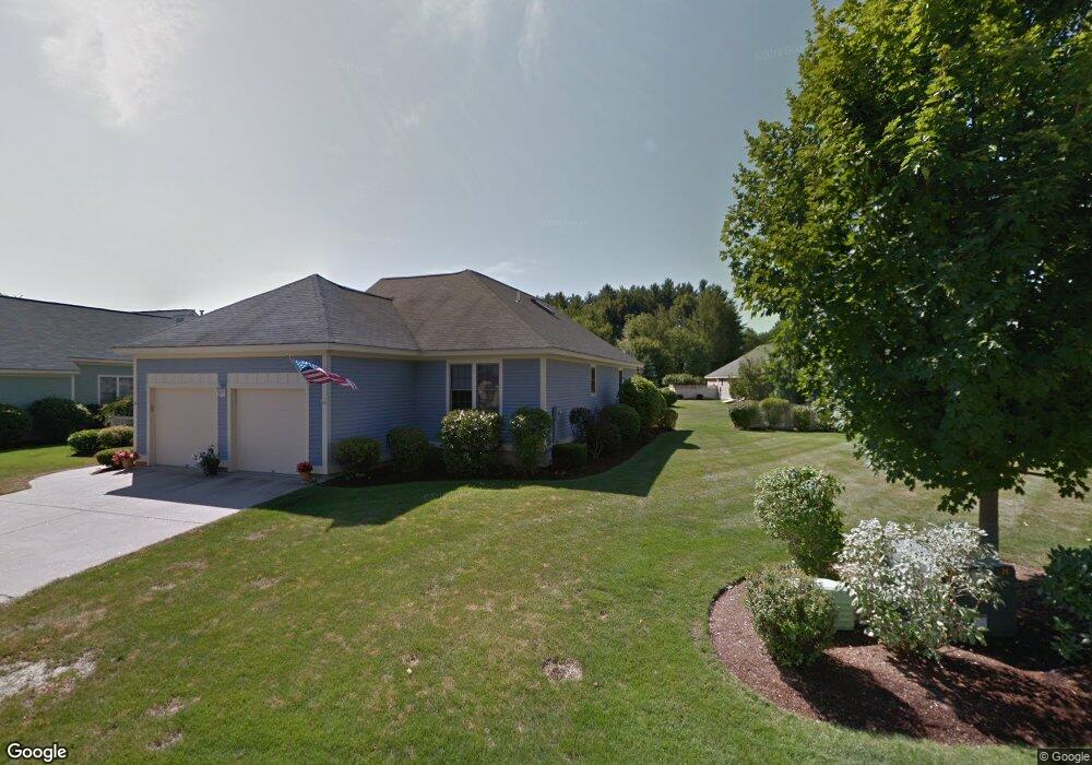
1 Gleneagle Dr Bedford, NH 03110
Bedford NeighborhoodEstimated Value: $815,883 - $841,000
2
Beds
2
Baths
1,826
Sq Ft
$452/Sq Ft
Est. Value
About This Home
This home is located at 1 Gleneagle Dr, Bedford, NH 03110 and is currently estimated at $824,971, approximately $451 per square foot. 1 Gleneagle Dr is a home located in Hillsborough County with nearby schools including Mckelvie Intermediate School, Ross A. Lurgio Middle School, and Bedford High School.
Ownership History
Date
Name
Owned For
Owner Type
Purchase Details
Closed on
Aug 31, 2016
Sold by
Tomaswick Joseph K and Tomaswick Elizabeth C
Bought by
Mark W Vaughn Ret
Current Estimated Value
Purchase Details
Closed on
May 10, 2013
Sold by
Keller Ft and Keller Charles E
Bought by
Tomaswick Joseph K and Tomaswick Elizabeth C
Purchase Details
Closed on
Oct 15, 1999
Sold by
Peter Thompson Assoc
Bought by
Keller Charles E and Keller Marguerite F
Create a Home Valuation Report for This Property
The Home Valuation Report is an in-depth analysis detailing your home's value as well as a comparison with similar homes in the area
Home Values in the Area
Average Home Value in this Area
Purchase History
| Date | Buyer | Sale Price | Title Company |
|---|---|---|---|
| Mark W Vaughn Ret | $425,000 | -- | |
| Tomaswick Joseph K | $335,000 | -- | |
| Keller Charles E | $253,000 | -- |
Source: Public Records
Tax History
| Year | Tax Paid | Tax Assessment Tax Assessment Total Assessment is a certain percentage of the fair market value that is determined by local assessors to be the total taxable value of land and additions on the property. | Land | Improvement |
|---|---|---|---|---|
| 2024 | $10,314 | $652,400 | $0 | $652,400 |
| 2023 | $9,656 | $652,400 | $0 | $652,400 |
| 2022 | $9,546 | $542,400 | $0 | $542,400 |
| 2021 | $9,297 | $542,400 | $0 | $542,400 |
| 2020 | $8,621 | $430,600 | $0 | $430,600 |
| 2019 | $8,160 | $430,600 | $0 | $430,600 |
| 2018 | $8,550 | $419,100 | $0 | $419,100 |
| 2017 | $7,925 | $419,100 | $0 | $419,100 |
| 2016 | $6,541 | $292,400 | $0 | $292,400 |
| 2015 | $6,655 | $292,400 | $0 | $292,400 |
| 2014 | $6,579 | $292,400 | $0 | $292,400 |
| 2013 | $6,483 | $292,400 | $0 | $292,400 |
Source: Public Records
Map
Nearby Homes
- 12 Knoll Crest Dr Unit Lot 5 - The Hannah
- 24 Suffolk Ct Unit UN165
- 8 Park Dr
- 48 Greenleaf St
- 17-4-28 Boiling Kettle Way
- 17-4-28 Boiling Kettle Way Unit 28
- 7 Seabee St
- 7 Hamilton Way
- 46 Geneva St
- 55 Westminster St
- 555 Calef Rd Unit 4
- 555 Calef Rd Unit 1
- 525 Calef Rd Unit 22
- 21 Grand Ave Unit Lot 6
- 18 Grand Ave Unit Lot 7
- 15 Grand Ave Unit Lot 3
- 17 Grand Ave
- 56 Sprague St
- 141 Donahue Dr
- 29 Salem St
- 1 Muirfield Rd
- 1 Pebble Beach Dr
- 1 Muirfield Rd Unit ONE
- 77 Patten Rd
- 165 County Rd
- 162 County Rd
- 162 County Rd Unit 79
- 169 County Rd
- 177 County Rd
- 69 Patten Rd
- 158 County Rd
- 156 County Rd
- 9 Dalton Rd
- 3 Dalton Rd
- 499 Private Avenue (Dino)
- 154 County Rd
- 13 Dalton Rd
- 61 Patten Rd
- 153 County Rd
- 140 County Rd
Your Personal Tour Guide
Ask me questions while you tour the home.