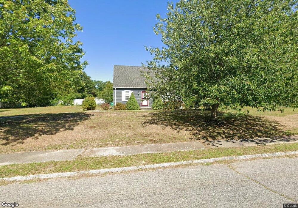
1 Hidden Ln Mansfield, MA 02048
Estimated Value: $518,000 - $664,000
2
Beds
2
Baths
1,421
Sq Ft
$417/Sq Ft
Est. Value
About This Home
This home is located at 1 Hidden Ln, Mansfield, MA 02048 and is currently estimated at $591,964, approximately $416 per square foot. 1 Hidden Ln is a home located in Bristol County with nearby schools including Everett W. Robinson Elementary School, Jordan/Jackson Elementary School, and Harold L. Qualters Middle School.
Ownership History
Date
Name
Owned For
Owner Type
Purchase Details
Closed on
Mar 1, 2004
Sold by
Farrell Jay W and Owens Lisa M
Bought by
Farrell Jay W
Current Estimated Value
Home Financials for this Owner
Home Financials are based on the most recent Mortgage that was taken out on this home.
Original Mortgage
$198,000
Outstanding Balance
$92,407
Interest Rate
5.65%
Mortgage Type
Purchase Money Mortgage
Estimated Equity
$499,557
Purchase Details
Closed on
Nov 2, 1989
Sold by
Roy Randall J
Bought by
Farrell Jay W
Home Financials for this Owner
Home Financials are based on the most recent Mortgage that was taken out on this home.
Original Mortgage
$113,600
Interest Rate
9.9%
Mortgage Type
Purchase Money Mortgage
Create a Home Valuation Report for This Property
The Home Valuation Report is an in-depth analysis detailing your home's value as well as a comparison with similar homes in the area
Home Values in the Area
Average Home Value in this Area
Purchase History
| Date | Buyer | Sale Price | Title Company |
|---|---|---|---|
| Farrell Jay W | -- | -- | |
| Farrell Jay W | $142,000 | -- |
Source: Public Records
Mortgage History
| Date | Status | Borrower | Loan Amount |
|---|---|---|---|
| Open | Farrell Jay W | $198,000 | |
| Previous Owner | Farrell Jay W | $116,700 | |
| Previous Owner | Farrell Jay W | $113,600 |
Source: Public Records
Tax History
| Year | Tax Paid | Tax Assessment Tax Assessment Total Assessment is a certain percentage of the fair market value that is determined by local assessors to be the total taxable value of land and additions on the property. | Land | Improvement |
|---|---|---|---|---|
| 2025 | $6,630 | $503,400 | $266,900 | $236,500 |
| 2024 | $6,666 | $493,800 | $254,800 | $239,000 |
| 2023 | $6,636 | $471,000 | $254,800 | $216,200 |
| 2022 | $6,429 | $423,800 | $235,800 | $188,000 |
| 2021 | $6,308 | $410,700 | $224,700 | $186,000 |
| 2020 | $4,618 | $368,500 | $196,600 | $171,900 |
| 2019 | $4,375 | $370,800 | $187,100 | $183,700 |
| 2018 | $4,071 | $357,200 | $178,500 | $178,700 |
| 2017 | $4,030 | $335,600 | $173,400 | $162,200 |
| 2016 | $4,840 | $314,100 | $165,100 | $149,000 |
| 2015 | $4,817 | $310,800 | $165,100 | $145,700 |
Source: Public Records
Map
Nearby Homes
- 24 Maverick Dr
- 25 Shepherd St
- 25 Munroe Dr
- 84 Messenger St
- 9 Coach Rd
- 150 Gilbert St
- 128 Tremont St
- 17 Childs Ln
- 33 Colonial Way
- 57 Vine St
- 40 Treasure Island Rd
- 115 Westfield Dr
- 28 Messenger St
- 16 Treasure Island Rd
- Lot 5 Jeffrey Dr
- 14 Claire Ave
- Lot 2 Jeffrey Dr
- 46 Mirimichi St
- 38 Mirimichi St
- 401 South St
Your Personal Tour Guide
Ask me questions while you tour the home.