1 Hunt Rd Sheldon, SC 29941
Estimated Value: $325,000 - $415,475
Studio
--
Bath
--
Sq Ft
44,780
Sq Ft
About This Home
This home is located at 1 Hunt Rd, Sheldon, SC 29941 and is currently estimated at $367,619. 1 Hunt Rd is a home located in Beaufort County with nearby schools including Whale Branch Elementary School, Whale Branch Middle School, and Whale Branch Early College High School.
Ownership History
Date
Name
Owned For
Owner Type
Purchase Details
Closed on
May 15, 2006
Sold by
Mcelhaney Phillip R and Mcelhaney Edith Ruby
Bought by
Johnson Mark F
Current Estimated Value
Purchase Details
Closed on
May 2, 2003
Sold by
Blalock Clarence A
Bought by
Mcelhaney Phillip R and Mcelhaney Edith Ruby
Purchase Details
Closed on
Dec 23, 2002
Sold by
Mcelhaney Phillip R and Mcelhaney Edith Ruby
Bought by
Blalock Clarence A
Home Financials for this Owner
Home Financials are based on the most recent Mortgage that was taken out on this home.
Original Mortgage
$135,000
Interest Rate
5.98%
Mortgage Type
Seller Take Back
Create a Home Valuation Report for This Property
The Home Valuation Report is an in-depth analysis detailing your home's value as well as a comparison with similar homes in the area
Purchase History
| Date | Buyer | Sale Price | Title Company |
|---|---|---|---|
| Johnson Mark F | $230,000 | None Available | |
| Mcelhaney Phillip R | $150,000 | -- | |
| Blalock Clarence A | $150,000 | -- |
Source: Public Records
Mortgage History
| Date | Status | Borrower | Loan Amount |
|---|---|---|---|
| Previous Owner | Blalock Clarence A | $135,000 |
Source: Public Records
Tax History
| Year | Tax Paid | Tax Assessment Tax Assessment Total Assessment is a certain percentage of the fair market value that is determined by local assessors to be the total taxable value of land and additions on the property. | Land | Improvement |
|---|---|---|---|---|
| 2024 | $4,029 | $15,220 | $0 | $0 |
| 2023 | $3,971 | $15,220 | $0 | $0 |
| 2022 | $3,606 | $13,240 | $0 | $0 |
| 2021 | $3,524 | $13,240 | $0 | $0 |
| 2020 | $3,432 | $13,240 | $0 | $0 |
| 2019 | $3,387 | $13,240 | $0 | $0 |
| 2018 | $3,193 | $13,240 | $0 | $0 |
| 2017 | $2,901 | $11,510 | $0 | $0 |
| 2016 | $2,825 | $11,510 | $0 | $0 |
| 2014 | $2,008 | $11,510 | $0 | $0 |
Source: Public Records
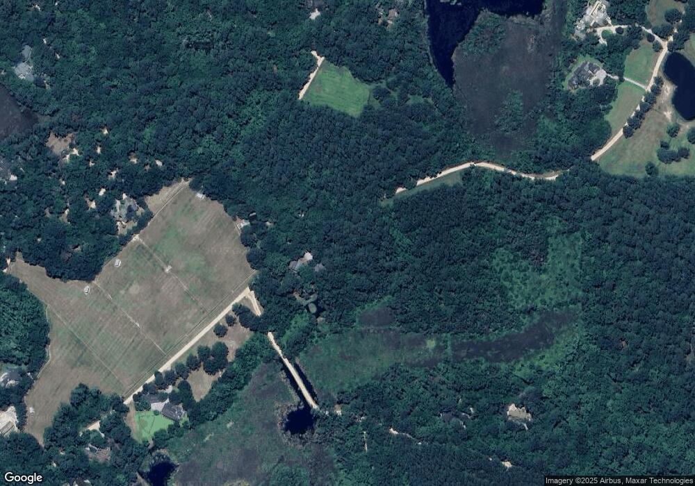
Map
Nearby Homes
- 164 Paige Point Bluff
- 45 S Huspah Ct
- Tbd Jenkins Rd
- 197 Johnson Rd
- 481 Paige Point
- 481 Paige Point Bluff
- 76 Priester Rd
- 45 Huspah Ct S
- 261 William A Campbell Rd
- 75 Island Way
- 163 State Road S-7-47
- 106 Barnaby Bluff
- 150 Bull Point Dr
- 185 Bull Point Dr
- 155 Bull Point Dr
- 96 Barnaby Bluff
- 141 Bull Point Dr
- 101 Barnaby Bluff
- 245 Bull Point Dr
- 243 Bull Point Dr
- 70 Pinckney Landing Dr
- 71 Pinckney Landing Dr
- 68 Pinckney Landing Dr
- 66 Pinckney Landing Dr
- 1 Stump Hill Place
- 37 Pinckney Landing Dr
- 31 Pinckney Landing Dr
- 1 Davis Pond Way
- 3 Stump Hill Place
- 64 Pinckney Landing Dr
- 2 Pinckney Bluff Place
- 34 Pinckney Bluff Place
- 33 Hunt Rd
- 4 Pinckney Bluff Place
- 62 Pinckney Landing Dr
- 35 Hunt Rd
- 36 Pinckney Bluff Place
- 2 Scotts Neck Place
- 493 Paige Point Bluff
- 45 Pinckney Landing Dr
Your Personal Tour Guide
Ask me questions while you tour the home.