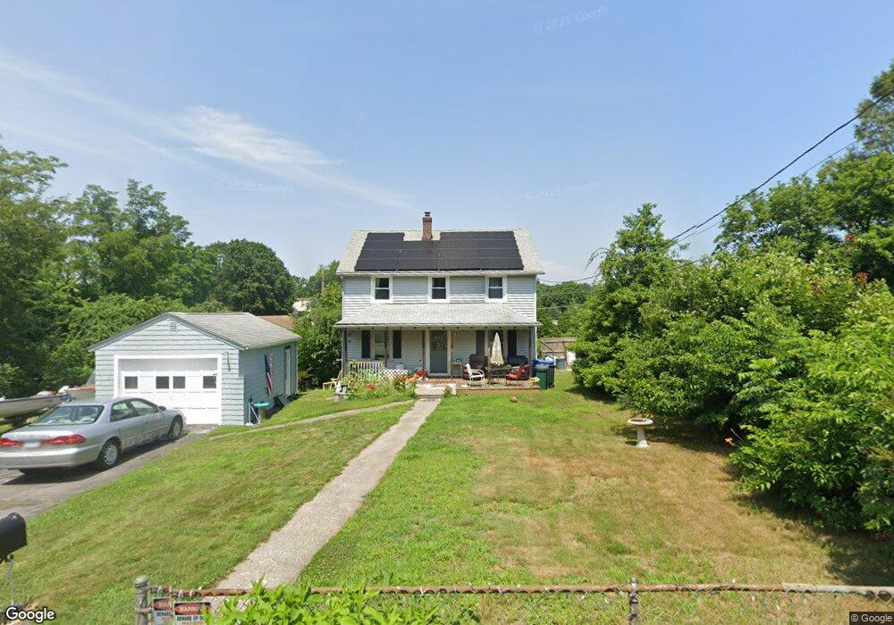
1 Jones St Lincoln, RI 02865
Lonsdale NeighborhoodEstimated Value: $416,874 - $478,000
4
Beds
2
Baths
1,344
Sq Ft
$326/Sq Ft
Est. Value
About This Home
This home is located at 1 Jones St, Lincoln, RI 02865 and is currently estimated at $437,719, approximately $325 per square foot. 1 Jones St is a home located in Providence County with nearby schools including Lincoln Senior High School, Blackstone Valley Prep Elementary School 1, and Blackstone Valley Prep Elementary School 2.
Ownership History
Date
Name
Owned For
Owner Type
Purchase Details
Closed on
Oct 14, 2025
Sold by
Wheatley Christine
Bought by
Christine Wheatley Lt and Wheatley
Current Estimated Value
Purchase Details
Closed on
Dec 2, 2021
Sold by
Christian Whatley T and Christian Whatley
Bought by
Whatley Christian
Purchase Details
Closed on
Jan 6, 2014
Sold by
Whatley Christian and Whatley Christine
Bought by
Christian Whatley T and Christian Whatley
Purchase Details
Closed on
Aug 2, 2010
Sold by
Ohara Wilfred
Bought by
Whatley Christian and Whatley Christine E
Purchase Details
Closed on
Jan 30, 1997
Sold by
Haduch Richard S and Haduch Leonarda
Bought by
Hoyle Jason A and Hoyle Tracey
Create a Home Valuation Report for This Property
The Home Valuation Report is an in-depth analysis detailing your home's value as well as a comparison with similar homes in the area
Home Values in the Area
Average Home Value in this Area
Purchase History
| Date | Buyer | Sale Price | Title Company |
|---|---|---|---|
| Christine Wheatley Lt | -- | -- | |
| Whatley Christian | -- | None Available | |
| Christian Whatley T | -- | -- | |
| Whatley Christian | $80,000 | -- | |
| Hoyle Jason A | $82,000 | -- |
Source: Public Records
Mortgage History
| Date | Status | Borrower | Loan Amount |
|---|---|---|---|
| Previous Owner | Hoyle Jason A | $123,750 | |
| Previous Owner | Hoyle Jason A | $199,000 | |
| Previous Owner | Hoyle Jason A | $165,000 |
Source: Public Records
Tax History Compared to Growth
Tax History
| Year | Tax Paid | Tax Assessment Tax Assessment Total Assessment is a certain percentage of the fair market value that is determined by local assessors to be the total taxable value of land and additions on the property. | Land | Improvement |
|---|---|---|---|---|
| 2025 | $5,088 | $376,300 | $163,800 | $212,500 |
| 2024 | $4,768 | $274,800 | $127,600 | $147,200 |
| 2023 | $4,517 | $273,900 | $127,600 | $146,300 |
| 2022 | $4,506 | $273,900 | $127,600 | $146,300 |
| 2021 | $3,685 | $181,600 | $75,100 | $106,500 |
| 2020 | $3,657 | $181,600 | $75,100 | $106,500 |
| 2018 | $3,639 | $162,800 | $70,000 | $92,800 |
| 2017 | $3,565 | $162,800 | $70,000 | $92,800 |
| 2016 | $3,516 | $162,800 | $70,000 | $92,800 |
| 2015 | $3,334 | $141,700 | $60,600 | $81,100 |
| 2014 | $3,340 | $141,700 | $60,600 | $81,100 |
Source: Public Records
Map
Nearby Homes
- 118 Pleasant St
- 98 Jones St
- 96 Jones St
- 110 Pleasant St Unit 2
- 110 Pleasant St Unit 3
- 19 Arlington Dr
- 98 Pleasant St
- 16 Arlington Dr
- 83 Union St
- 15 Leicester Dr
- 92 Pleasant St
- 14 Arlington Dr
- 105 Pleasant St
- 105 Pleasant St Unit 1
- 15 Arlington Dr
- 79 Union St
- 24 Sweeney St
- 18 Sheffield Dr
- 88 Pleasant St
- 88 Pleasant St Unit 2