1 Juniper Dr Unit A Bristol, NH 03222
Estimated Value: $612,877 - $907,000
3
Beds
3
Baths
1,673
Sq Ft
$445/Sq Ft
Est. Value
About This Home
This home is located at 1 Juniper Dr Unit A, Bristol, NH 03222 and is currently estimated at $744,969, approximately $445 per square foot. 1 Juniper Dr Unit A is a home located in Grafton County with nearby schools including Bristol Elementary School.
Ownership History
Date
Name
Owned For
Owner Type
Purchase Details
Closed on
Feb 16, 2022
Sold by
Neumeister Anthony K and Neumeister Amy M
Bought by
Ballantine David S and Demers Diane R
Current Estimated Value
Home Financials for this Owner
Home Financials are based on the most recent Mortgage that was taken out on this home.
Original Mortgage
$200,000
Outstanding Balance
$184,292
Interest Rate
3.55%
Mortgage Type
Purchase Money Mortgage
Estimated Equity
$560,677
Purchase Details
Closed on
Mar 20, 2019
Sold by
Reilly William E and Reilly Rose M
Bought by
Neumeister Anthony K and Neumeister Amy M
Create a Home Valuation Report for This Property
The Home Valuation Report is an in-depth analysis detailing your home's value as well as a comparison with similar homes in the area
Home Values in the Area
Average Home Value in this Area
Purchase History
| Date | Buyer | Sale Price | Title Company |
|---|---|---|---|
| Ballantine David S | $532,000 | None Available | |
| Neumeister Anthony K | $289,000 | -- |
Source: Public Records
Mortgage History
| Date | Status | Borrower | Loan Amount |
|---|---|---|---|
| Open | Ballantine David S | $200,000 |
Source: Public Records
Tax History
| Year | Tax Paid | Tax Assessment Tax Assessment Total Assessment is a certain percentage of the fair market value that is determined by local assessors to be the total taxable value of land and additions on the property. | Land | Improvement |
|---|---|---|---|---|
| 2025 | $7,006 | $352,600 | $0 | $352,600 |
| 2024 | $6,710 | $352,600 | $0 | $352,600 |
| 2023 | $6,576 | $352,600 | $0 | $352,600 |
| 2022 | $6,477 | $352,600 | $0 | $352,600 |
| 2021 | $6,638 | $352,700 | $0 | $352,700 |
| 2020 | $6,927 | $248,100 | $0 | $248,100 |
| 2019 | $5,851 | $243,400 | $0 | $243,400 |
| 2018 | $5,545 | $243,400 | $0 | $243,400 |
| 2017 | $6,126 | $243,400 | $0 | $243,400 |
| 2016 | $5,111 | $243,400 | $0 | $243,400 |
| 2015 | $5,678 | $270,400 | $0 | $270,400 |
| 2014 | $5,678 | $270,400 | $0 | $270,400 |
| 2013 | $5,749 | $270,400 | $0 | $270,400 |
Source: Public Records
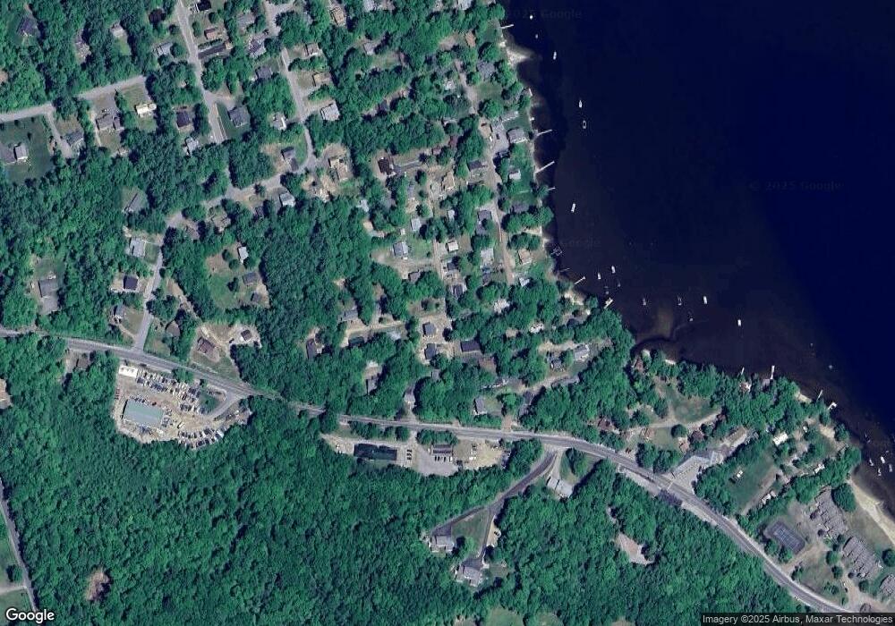
Map
Nearby Homes
- 21 Village West Dr Unit 14
- 75 Lakewood Pines Rd Unit 20
- 43 Elm St
- 114 Ledgewood Terrace
- 94 Mandi Ln
- 333 Lake St
- 862 Mayhew Turnpike Unit 16
- 862 Mayhew Turnpike Unit 13
- 66 Summer St
- 30 Beech St Unit 3D
- 30 Beech St Unit 4C
- 80 Patten Rd
- 45 4th St
- 00 Ledgewood Cir Unit 7
- 341 Perkins Hill Rd
- 00 Peaked Hill Rd Unit 7.1, 7.2, 7.3, 7.4,
- 200 Walker Rd
- 00 Borough Rd Unit 1,2
- 82 Jenness Hill Rd
- 571 New Hampshire 104
- 11 Browns Beach Rd
- 0/0 Lakeview Drive West Shore Rd
- 15 Browns Beach Rd
- 19 Lakeview Ave
- 25 Browns Beach Rd
- 121 Browns Beach Rd
- 25 Lakeview Ave
- 26 Lakeview Ave
- 10 Browns Beach Rd
- 17 Juniper Rd Unit B
- 17 Juniper Rd Unit A
- 292 W Shore Rd
- 1 Juniper Rd Unit A
- 1 Juniper Rd Unit c
- 29 Lakeview Ave
- 33 Lakeview Ave
- 34 Lakeview Ave
- 8 Woodland Rd
- 45 Browns Beach Rd
- 273- Unit West Shore
Your Personal Tour Guide
Ask me questions while you tour the home.