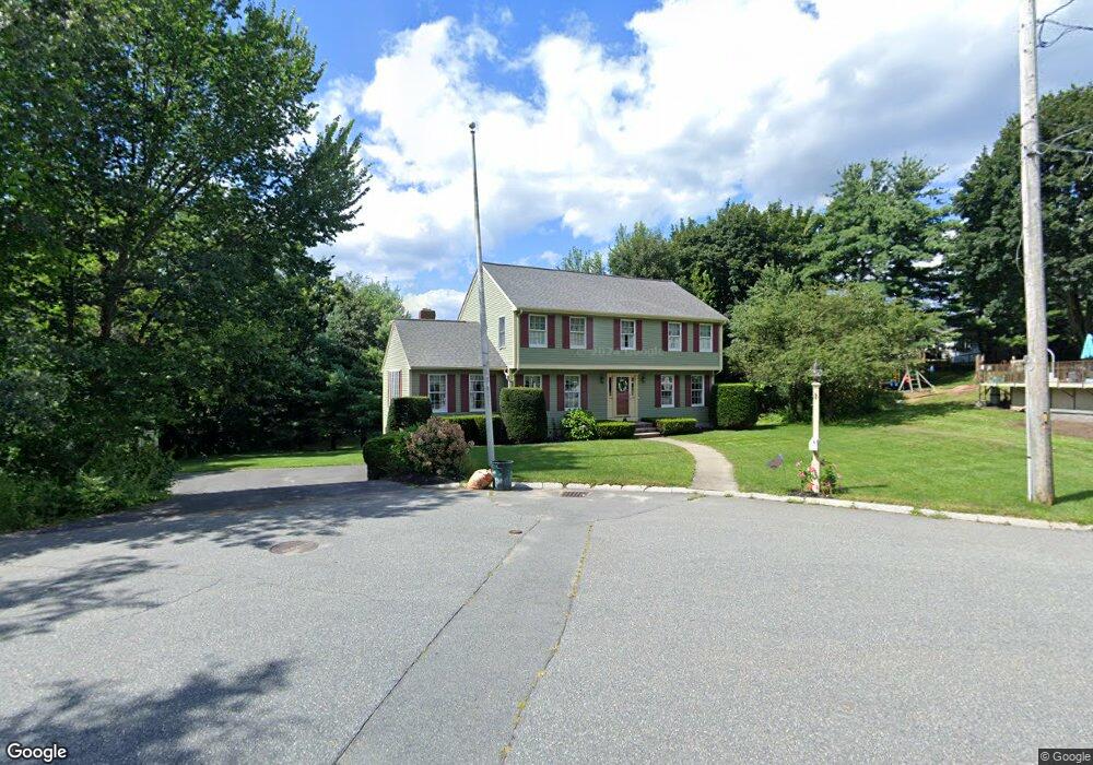
1 Katie Ln Woburn, MA 01801
Cummingsville NeighborhoodEstimated Value: $779,000 - $1,144,000
4
Beds
2
Baths
2,388
Sq Ft
$420/Sq Ft
Est. Value
About This Home
This home is located at 1 Katie Ln, Woburn, MA 01801 and is currently estimated at $1,002,085, approximately $419 per square foot. 1 Katie Ln is a home located in Middlesex County with nearby schools including Hurld Elementary School, Daniel L. Joyce Middle School, and Woburn High School.
Create a Home Valuation Report for This Property
The Home Valuation Report is an in-depth analysis detailing your home's value as well as a comparison with similar homes in the area
Home Values in the Area
Average Home Value in this Area
Tax History Compared to Growth
Tax History
| Year | Tax Paid | Tax Assessment Tax Assessment Total Assessment is a certain percentage of the fair market value that is determined by local assessors to be the total taxable value of land and additions on the property. | Land | Improvement |
|---|---|---|---|---|
| 2025 | $7,489 | $876,900 | $370,000 | $506,900 |
| 2024 | $6,726 | $834,500 | $352,500 | $482,000 |
| 2023 | $6,549 | $752,800 | $320,500 | $432,300 |
| 2022 | $6,389 | $684,100 | $279,000 | $405,100 |
| 2021 | $7,109 | $657,400 | $265,800 | $391,600 |
| 2020 | $6,054 | $649,600 | $265,800 | $383,800 |
| 2019 | $6,635 | $615,300 | $253,200 | $362,100 |
| 2018 | $5,686 | $574,900 | $232,500 | $342,400 |
| 2017 | $5,712 | $529,000 | $221,500 | $307,500 |
| 2016 | $5,027 | $500,200 | $207,200 | $293,000 |
| 2015 | $4,883 | $480,100 | $193,700 | $286,400 |
| 2014 | $4,732 | $453,300 | $193,700 | $259,600 |
Source: Public Records
Map
Nearby Homes
- 12 Cassidy Dr
- 7 Locust St
- 17 Wright St
- 18 Beacon St Unit 18
- 26 Flagg St
- 31 Arlington Rd Unit 1-6
- 52 Pleasant St
- 27 Arlington Rd Unit 1-6
- 37 1/2 Chestnut St
- 29 Arlington Rd Unit 4
- 18 Winn Valley Dr
- 21 Franklin St
- 11 Hovey St
- 18 Hamilton Rd
- 166 Place Ln Unit 166
- 168 Place Ln
- 36 Cambridge Rd Unit 40
- 15 Sturgis St
- 68 Hammond Place Unit 68
- 4 Ardmore Ave