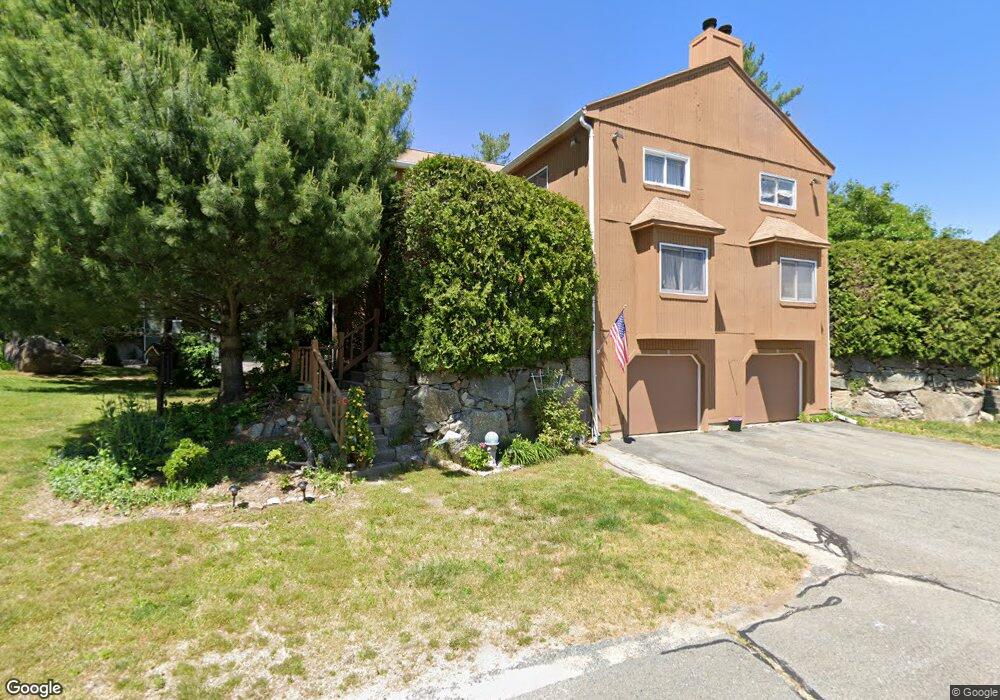
1 Kings Forest Path Uxbridge, MA 01569
Estimated Value: $349,091 - $378,000
2
Beds
2
Baths
1,622
Sq Ft
$227/Sq Ft
Est. Value
About This Home
This home is located at 1 Kings Forest Path, Uxbridge, MA 01569 and is currently estimated at $368,023, approximately $226 per square foot. 1 Kings Forest Path is a home located in Worcester County with nearby schools including Uxbridge High School and Our Lady of the Valley Regional School.
Ownership History
Date
Name
Owned For
Owner Type
Purchase Details
Closed on
Jul 12, 1989
Sold by
Lyons Thomas
Bought by
Lyons Linda S
Current Estimated Value
Purchase Details
Closed on
Dec 28, 1988
Sold by
Ledgemere Condo
Bought by
Lyons Thomas
Home Financials for this Owner
Home Financials are based on the most recent Mortgage that was taken out on this home.
Original Mortgage
$91,100
Interest Rate
10.26%
Mortgage Type
Purchase Money Mortgage
Create a Home Valuation Report for This Property
The Home Valuation Report is an in-depth analysis detailing your home's value as well as a comparison with similar homes in the area
Home Values in the Area
Average Home Value in this Area
Purchase History
| Date | Buyer | Sale Price | Title Company |
|---|---|---|---|
| Lyons Linda S | $7,500 | -- | |
| Lyons Thomas | $113,990 | -- |
Source: Public Records
Mortgage History
| Date | Status | Borrower | Loan Amount |
|---|---|---|---|
| Previous Owner | Lyons Thomas | $91,100 |
Source: Public Records
Tax History Compared to Growth
Tax History
| Year | Tax Paid | Tax Assessment Tax Assessment Total Assessment is a certain percentage of the fair market value that is determined by local assessors to be the total taxable value of land and additions on the property. | Land | Improvement |
|---|---|---|---|---|
| 2025 | $38 | $290,100 | $0 | $290,100 |
| 2024 | $3,736 | $289,200 | $0 | $289,200 |
| 2023 | $3,347 | $239,900 | $0 | $239,900 |
| 2022 | $2,906 | $191,700 | $0 | $191,700 |
| 2021 | $3,061 | $193,500 | $0 | $193,500 |
| 2020 | $3,065 | $183,100 | $0 | $183,100 |
| 2019 | $2,891 | $166,600 | $0 | $166,600 |
| 2018 | $3,089 | $179,900 | $0 | $179,900 |
| 2017 | $3,009 | $177,400 | $0 | $177,400 |
| 2016 | $3,022 | $172,000 | $0 | $172,000 |
| 2015 | $2,993 | $172,000 | $0 | $172,000 |
Source: Public Records
Map
Nearby Homes
- The Contemporary Villager Plan at Patriot's Landing
- Karenrose Sunnery Plan at Patriot's Landing
- 129 Quaker Hwy Unit 6
- 288 High St
- 24 Road Ahr
- 328 Millville Rd
- 128 Mantell Rd
- 346 Millville Rd
- 100 Spring Hill Dr Unit 100
- 395 High St
- Layla Plan at Pine Ridge
- Ashley Plan at Pine Ridge
- Lily Plan at Pine Ridge
- Brooklyn Plan at Pine Ridge
- Tucker Plan at Pine Ridge
- Everleigh Plan at Pine Ridge
- 104 Eber Taft Rd
- 33 Summerfield Dr Unit 33
- 48 Homeward Ave
- 72 Homeward Ave
- 3 Kings Forest Path
- 4 Loyalist Dr
- 2 Loyalist Dr
- 2 Loyalist Dr Unit 2
- 7 Kings Forest Path
- 5 Kings Forest Path
- 7 Kings Forest Path Unit 7
- 7 Kings Forest Path
- 6 Loyalist Dr
- 8 Loyalist Dr
- 6 Loyalist Dr Unit 6
- 6 Loyalist Dr Unit 25
- 6 Manor House Ln
- 8 Manor House Ln
- 7 Loyalist Dr
- 1 Loyalist Dr
- 4 Manor House Ln
- 2 Manor House Ln
- 2 Manor House Ln Unit 2 21D
- 1 Jesters Way