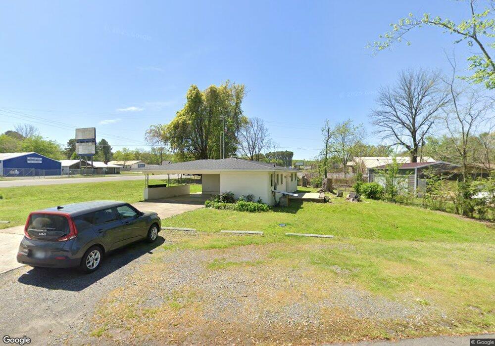
1 Lancaster Ln Conway, AR 72032
Estimated Value: $108,000 - $184,000
3
Beds
2
Baths
1,282
Sq Ft
$124/Sq Ft
Est. Value
About This Home
This home is located at 1 Lancaster Ln, Conway, AR 72032 and is currently estimated at $158,385, approximately $123 per square foot. 1 Lancaster Ln is a home located in Faulkner County with nearby schools including Theodore Jones Elementary School, Conway Junior High School, and Conway High School.
Ownership History
Date
Name
Owned For
Owner Type
Purchase Details
Closed on
Dec 7, 2020
Sold by
Jones Carmelita
Bought by
Berumen Lea Ann
Current Estimated Value
Purchase Details
Closed on
Dec 7, 2012
Sold by
Jones Eric E
Bought by
Jones Tommy L
Purchase Details
Closed on
Sep 10, 2009
Bought by
Jones Tommy L and Jones Carmelita
Purchase Details
Closed on
Sep 2, 2009
Sold by
Aist Mary and Aist Rhonda
Bought by
Jones Tommy L and Jones Carmelita
Purchase Details
Closed on
Jun 7, 2006
Bought by
Aist Marty and Aist Rhonda
Create a Home Valuation Report for This Property
The Home Valuation Report is an in-depth analysis detailing your home's value as well as a comparison with similar homes in the area
Home Values in the Area
Average Home Value in this Area
Purchase History
| Date | Buyer | Sale Price | Title Company |
|---|---|---|---|
| Berumen Lea Ann | $70,000 | Faulkner County Title | |
| Jones Tommy L | -- | None Available | |
| Jones Tommy L | $30,000 | -- | |
| Jones Tommy L | $30,000 | None Available | |
| Aist Marty | $65,000 | -- |
Source: Public Records
Tax History
| Year | Tax Paid | Tax Assessment Tax Assessment Total Assessment is a certain percentage of the fair market value that is determined by local assessors to be the total taxable value of land and additions on the property. | Land | Improvement |
|---|---|---|---|---|
| 2025 | $1,065 | $27,340 | $1,740 | $25,600 |
| 2024 | $976 | $27,340 | $1,740 | $25,600 |
| 2023 | $888 | $19,620 | $1,740 | $17,880 |
| 2022 | $940 | $19,620 | $1,740 | $17,880 |
| 2021 | $853 | $19,620 | $1,740 | $17,880 |
| 2020 | $535 | $10,240 | $1,390 | $8,850 |
| 2019 | $535 | $10,240 | $1,390 | $8,850 |
| 2018 | $488 | $9,220 | $1,390 | $7,830 |
| 2017 | $488 | $9,220 | $1,390 | $7,830 |
| 2016 | $488 | $9,220 | $1,390 | $7,830 |
| 2015 | -- | $8,500 | $1,670 | $6,830 |
| 2014 | $454 | $8,500 | $1,670 | $6,830 |
Source: Public Records
Map
Nearby Homes
- 3030 Plateau Dr
- 3020 Cloudberry Dr
- 6 Cedar Hill Rd
- 1250 Edge Valley Dr N
- 2800 Plateau Dr
- 1230 Littlewood Cove
- 1950 Shadow Falls Dr
- 1200 Mae Ln
- 1135 Gallery Dr
- 1050 Gallery Dr
- 2275 Victory Ln
- 2080 Mary Alice Dr
- 2 Lake Point Dr
- 2020 Mary Alice Dr
- 1220 Bulldog Dr
- 70 Beaverfork Rd
- 3755 Lazy Creek Trail
- 5 Treasure Hills Rd
- 1200 Andrews Dr
- 24 Blue Jay Way
- 3 Lancaster Ln
- 2 Lancaster Ln
- N Hwy 65 Hwy
- 280 Highway 65 N
- 278 U S 65
- 275 Highway 65 N
- 276 Highway 65 N
- 7 Lancaster Ln
- 289 Highway 65 N
- 286 U S 65
- 269 Highway 65 N
- 287 Highway 65 N
- 285 Highway 65 N Unit 291 Highway 65 Conwa
- 285 Highway 65 N Unit 6
- 285 Highway 65 N Unit 5
- 285 Highway 65 N Unit 3
- 285 Highway 65 N Unit 4
- 285 Highway 65 N Unit 2
- 285 Highway 65 N Unit 1
- 285 Highway 65 N
Your Personal Tour Guide
Ask me questions while you tour the home.