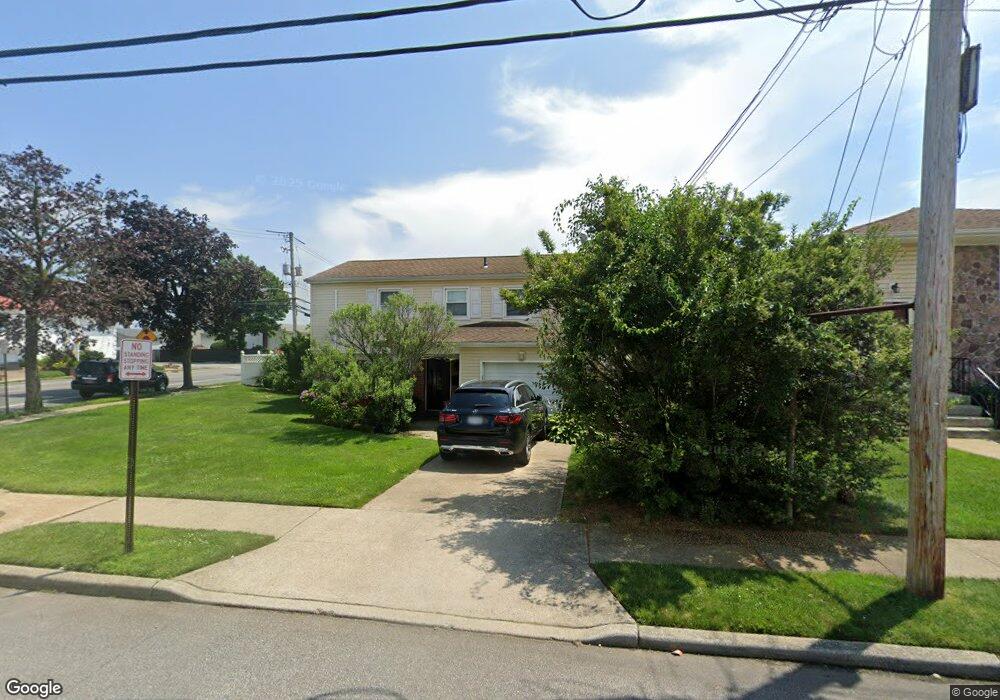
1 Laurel Rd Freeport, NY 11520
Estimated Value: $527,090 - $684,000
Studio
2
Baths
1,161
Sq Ft
$522/Sq Ft
Est. Value
About This Home
This home is located at 1 Laurel Rd, Freeport, NY 11520 and is currently estimated at $605,545, approximately $521 per square foot. 1 Laurel Rd is a home located in Nassau County with nearby schools including Columbus Avenue School, Caroline G. Atkinson Intermediate School, and John W Dodd Middle School.
Ownership History
Date
Name
Owned For
Owner Type
Purchase Details
Closed on
May 28, 2003
Sold by
Saint-Louis Marie
Current Estimated Value
Purchase Details
Closed on
Mar 18, 2003
Sold by
Saint-Louis Marie
Purchase Details
Closed on
Jul 7, 2000
Sold by
Phillips Megalie
Bought by
Saint Louis Marie M
Purchase Details
Closed on
May 17, 1996
Sold by
Citibank N A
Bought by
Phillips Magalie
Home Financials for this Owner
Home Financials are based on the most recent Mortgage that was taken out on this home.
Original Mortgage
$132,000
Interest Rate
7.97%
Mortgage Type
Purchase Money Mortgage
Purchase Details
Closed on
Dec 21, 1994
Sold by
Pirrone Vincent Ref
Bought by
Citibank N A
Create a Home Valuation Report for This Property
The Home Valuation Report is an in-depth analysis detailing your home's value as well as a comparison with similar homes in the area
Home Values in the Area
Average Home Value in this Area
Purchase History
| Date | Buyer | Sale Price | Title Company |
|---|---|---|---|
| -- | -- | -- | |
| -- | -- | -- | |
| -- | -- | -- | |
| -- | -- | -- | |
| Saint Louis Marie M | $160,000 | Sheldon Gerver | |
| Saint Louis Marie M | $160,000 | Sheldon Gerver | |
| Phillips Magalie | $133,000 | -- | |
| Phillips Magalie | $133,000 | -- | |
| Citibank N A | $191,288 | -- | |
| Citibank N A | $191,288 | -- |
Source: Public Records
Mortgage History
| Date | Status | Borrower | Loan Amount |
|---|---|---|---|
| Previous Owner | Phillips Magalie | $132,000 |
Source: Public Records
Tax History
| Year | Tax Paid | Tax Assessment Tax Assessment Total Assessment is a certain percentage of the fair market value that is determined by local assessors to be the total taxable value of land and additions on the property. | Land | Improvement |
|---|---|---|---|---|
| 2025 | $8,021 | $372 | $157 | $215 |
| 2024 | $848 | $382 | $161 | $221 |
Source: Public Records
Map
Nearby Homes
- 308 Bedell St
- 62 W 1st St
- 54 W 2nd St
- 130 Gordon Place
- 176 Gordon Place
- 121 Garfield St
- 51 E 2nd St
- 51 Atlantic Ave
- 271 Arthur St
- 251 Arthur St
- 4 Laurette Ln
- 21 Stillwell Place
- 233 Arthur St
- 251 Garfield St
- 254 Arthur St
- 268 Gordon Place
- 335 Arthur St
- 208 Sportsmans Ave
- 120 Sportsmans Ave
- 11 Ocean Watch Ct
Your Personal Tour Guide
Ask me questions while you tour the home.