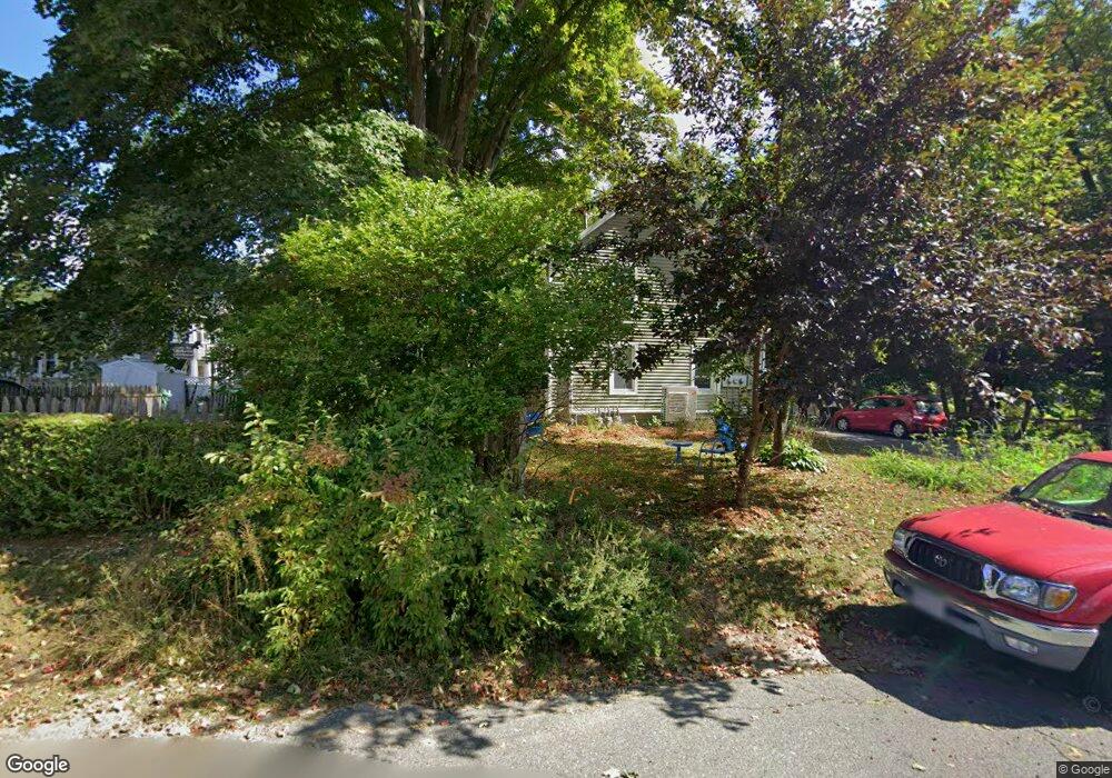
1 Lexington Ave Florence, MA 01062
Florence NeighborhoodEstimated Value: $358,376 - $511,000
4
Beds
3
Baths
2,003
Sq Ft
$217/Sq Ft
Est. Value
About This Home
This home is located at 1 Lexington Ave, Florence, MA 01062 and is currently estimated at $435,594, approximately $217 per square foot. 1 Lexington Ave is a home located in Hampshire County with nearby schools including Northampton High School, The Montessori School of Northampton, and Lander Grinspoon Academy.
Ownership History
Date
Name
Owned For
Owner Type
Purchase Details
Closed on
Nov 10, 2023
Sold by
Gautieri Gabrielle
Bought by
Manin Alexia
Current Estimated Value
Purchase Details
Closed on
Jan 27, 2022
Sold by
Manin Alexia
Bought by
Gautieri Gabrielle and Manin Alexia
Home Financials for this Owner
Home Financials are based on the most recent Mortgage that was taken out on this home.
Original Mortgage
$262,500
Interest Rate
3.56%
Mortgage Type
Stand Alone Refi Refinance Of Original Loan
Purchase Details
Closed on
Aug 31, 1999
Sold by
Ostrowski Frederick J
Bought by
Manin Alexia
Purchase Details
Closed on
Mar 1, 1988
Sold by
Prokup John W
Bought by
Ostrowski Frederick J
Create a Home Valuation Report for This Property
The Home Valuation Report is an in-depth analysis detailing your home's value as well as a comparison with similar homes in the area
Home Values in the Area
Average Home Value in this Area
Purchase History
| Date | Buyer | Sale Price | Title Company |
|---|---|---|---|
| Manin Alexia | -- | None Available | |
| Manin Alexia | -- | None Available | |
| Gautieri Gabrielle | -- | None Available | |
| Gautieri Gabrielle | -- | None Available | |
| Manin Alexia | $110,000 | -- | |
| Manin Alexia | $110,000 | -- | |
| Ostrowski Frederick J | $125,900 | -- |
Source: Public Records
Mortgage History
| Date | Status | Borrower | Loan Amount |
|---|---|---|---|
| Previous Owner | Gautieri Gabrielle | $262,500 | |
| Previous Owner | Ostrowski Frederick J | $182,000 |
Source: Public Records
Tax History
| Year | Tax Paid | Tax Assessment Tax Assessment Total Assessment is a certain percentage of the fair market value that is determined by local assessors to be the total taxable value of land and additions on the property. | Land | Improvement |
|---|---|---|---|---|
| 2025 | $5,392 | $387,100 | $122,000 | $265,100 |
| 2024 | $5,315 | $349,900 | $122,000 | $227,900 |
| 2023 | $5,276 | $333,100 | $110,900 | $222,200 |
| 2022 | $4,870 | $272,200 | $110,900 | $161,300 |
| 2021 | $4,226 | $243,300 | $105,900 | $137,400 |
| 2020 | $4,087 | $243,300 | $105,900 | $137,400 |
| 2019 | $4,059 | $233,700 | $105,900 | $127,800 |
| 2018 | $4,087 | $238,800 | $105,900 | $132,900 |
| 2017 | $3,986 | $238,800 | $105,900 | $132,900 |
| 2016 | $3,859 | $238,800 | $105,900 | $132,900 |
| 2015 | $3,825 | $242,100 | $105,900 | $136,200 |
| 2014 | $3,726 | $242,100 | $105,900 | $136,200 |
Source: Public Records
Map
Nearby Homes
- 63 Riverside Dr
- 37 Landy Ave
- 635 Florence Rd
- 61 Harrison Ave
- 42 Clark St
- 23 Ford Crossing
- 61 Woodlawn Ave
- 697 Florence Rd
- 76 Maple St
- 218 Elm St
- 67 Park St Unit A
- 815 Burts Pit Rd
- 0 Terrace Ln
- 575 Bridge Rd Unit 12-7
- 575 Bridge Rd Unit 10-5
- 44 Sheffield Ln
- 296 Ryan Rd Unit A
- 296 Ryan Rd
- 296 Ryan Rd Unit B
- 61 Crescent St Unit 8
- 329 Riverside Dr
- 7 Lexington Ave
- 10 Wood St
- 327 Riverside Dr
- 331 Riverside Dr
- 22 Liberty St
- 323 Riverside Dr
- 14 Liberty St
- 14 Liberty St
- 337 Riverside Dr
- 26 Liberty St
- 13 Lexington Ave
- 10 Lexington Ave
- 291 Riverside Dr
- 303 Riverside Dr
- 309 Riverside Dr
- 347 Riverside Dr
- 32 Liberty St
- 19 Lexington Ave
- 8 Liberty St
Your Personal Tour Guide
Ask me questions while you tour the home.