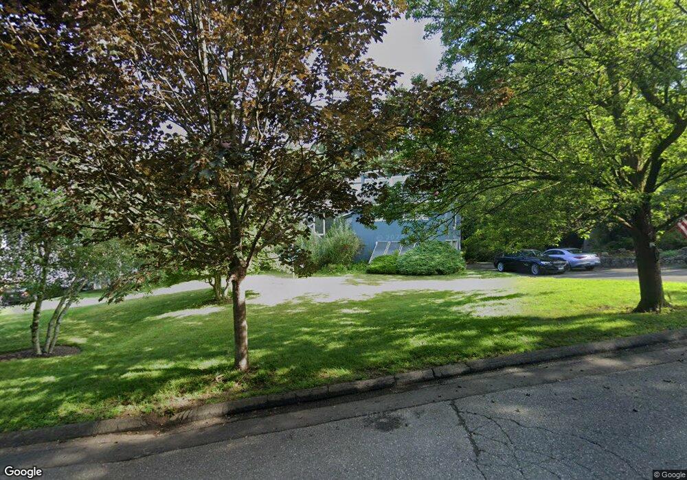
1 Lighthouse Way Stamford, CT 06902
Shippan NeighborhoodEstimated Value: $1,531,000 - $1,646,000
3
Beds
3
Baths
2,554
Sq Ft
$629/Sq Ft
Est. Value
About This Home
This home is located at 1 Lighthouse Way, Stamford, CT 06902 and is currently estimated at $1,607,590, approximately $629 per square foot. 1 Lighthouse Way is a home located in Fairfield County with nearby schools including Toquam Magnet School, Rippowam Middle School, and Stamford High School.
Ownership History
Date
Name
Owned For
Owner Type
Purchase Details
Closed on
Jan 30, 2004
Sold by
Roed Peter
Bought by
Neumann M Peter
Current Estimated Value
Home Financials for this Owner
Home Financials are based on the most recent Mortgage that was taken out on this home.
Original Mortgage
$550,000
Interest Rate
5.82%
Mortgage Type
Purchase Money Mortgage
Purchase Details
Closed on
Jun 5, 2000
Sold by
Andrew Robert S and Andrew Janet V
Bought by
Roed Peter
Create a Home Valuation Report for This Property
The Home Valuation Report is an in-depth analysis detailing your home's value as well as a comparison with similar homes in the area
Home Values in the Area
Average Home Value in this Area
Purchase History
| Date | Buyer | Sale Price | Title Company |
|---|---|---|---|
| Neumann M Peter | $815,000 | -- | |
| Neumann M Peter | $815,000 | -- | |
| Roed Peter | $682,000 | -- | |
| Roed Peter | $682,000 | -- |
Source: Public Records
Mortgage History
| Date | Status | Borrower | Loan Amount |
|---|---|---|---|
| Closed | Roed Peter | $440,900 | |
| Closed | Roed Peter | $175,000 | |
| Closed | Roed Peter | $550,000 |
Source: Public Records
Tax History Compared to Growth
Tax History
| Year | Tax Paid | Tax Assessment Tax Assessment Total Assessment is a certain percentage of the fair market value that is determined by local assessors to be the total taxable value of land and additions on the property. | Land | Improvement |
|---|---|---|---|---|
| 2025 | $20,723 | $866,330 | $564,980 | $301,350 |
| 2024 | $20,237 | $866,330 | $564,980 | $301,350 |
| 2023 | $21,866 | $866,330 | $564,980 | $301,350 |
| 2022 | $19,731 | $726,220 | $470,700 | $255,520 |
| 2021 | $19,564 | $726,220 | $470,700 | $255,520 |
| 2020 | $19,136 | $726,220 | $470,700 | $255,520 |
| 2019 | $19,136 | $726,220 | $470,700 | $255,520 |
| 2018 | $18,540 | $726,220 | $470,700 | $255,520 |
| 2017 | $20,116 | $748,100 | $495,500 | $252,600 |
| 2016 | $19,540 | $748,100 | $495,500 | $252,600 |
| 2015 | $19,024 | $748,100 | $495,500 | $252,600 |
| 2014 | $18,545 | $748,100 | $495,500 | $252,600 |
Source: Public Records
Map
Nearby Homes
- 336 Ocean Dr W
- 74 Rogers Rd
- 38 Van Rensselaer Ave
- 25 Sagamore Rd
- 93 Rockledge Dr
- 15 Gurley Rd
- 64 Ocean Dr E
- 55 Gurley Rd
- 63 Downs Ave
- 22 Ocean Dr N
- 105 Harbor Dr Unit 106
- 105 Harbor Dr Unit 107
- 105 Harbor Dr Unit 117
- 1073 Shippan Ave
- 0 Harbor Dr Unit G15 24123371
- 20 Cook Rd
- 40 Lindstrom Rd
- 3 Davenport Dr
- 43 Harbor Dr Unit 103
- 50 Signal Rd
- 15 Lighthouse Way
- 25 Lighthouse Way
- 268 Ocean Dr W
- 278 Ocean Dr W
- 255 Ocean Dr W
- 1 Rogers Rd
- 257 Ocean Dr W
- 288 Ocean Dr W
- 256 Ocean Dr W
- 247 Fairview Ave
- 242 Ocean Dr W
- 31 Lighthouse Way
- 32 Lighthouse Way
- 185 Van Rensselaer Ave
- 35 Rogers Rd
- 315 Ocean Dr W
- 302 Ocean Dr W
- 199 Van Rensselaer Ave
- 241 Fairview Ave