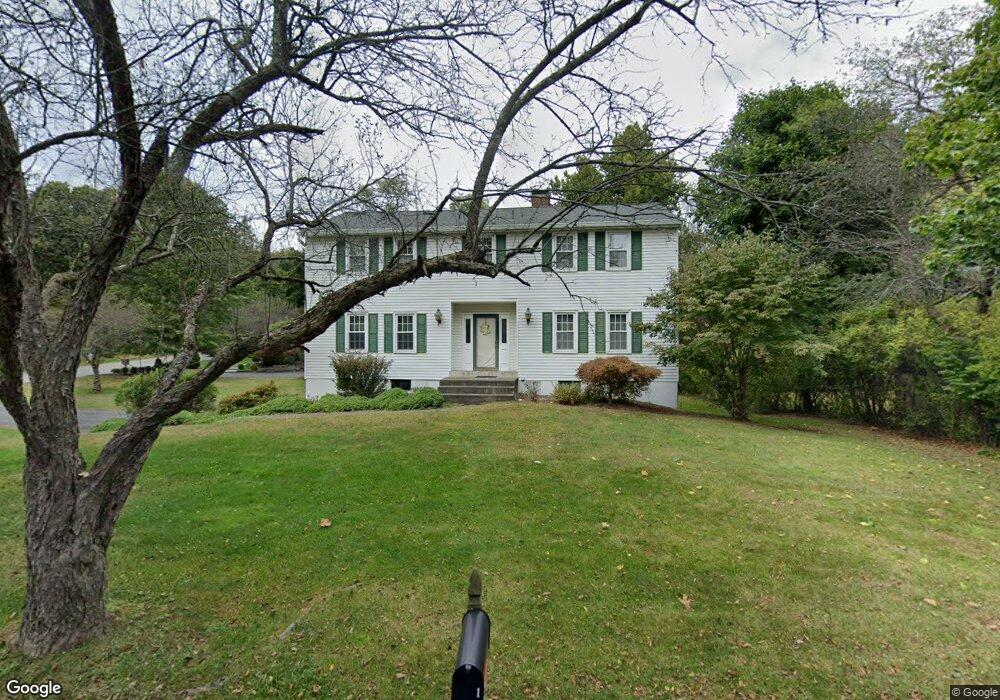
1 Lilling Rd Poughkeepsie, NY 12601
Estimated Value: $503,000 - $592,000
4
Beds
3
Baths
2,180
Sq Ft
$247/Sq Ft
Est. Value
About This Home
This home is located at 1 Lilling Rd, Poughkeepsie, NY 12601 and is currently estimated at $538,749, approximately $247 per square foot. 1 Lilling Rd is a home located in Dutchess County with nearby schools including Poughkeepsie High School, Poughkeepsie Community Seventh-Day Adventist School, and Tabernacle Christian Academy.
Ownership History
Date
Name
Owned For
Owner Type
Purchase Details
Closed on
Sep 28, 2005
Sold by
Dewitt F Hobbs
Bought by
Polgrean Susan L
Current Estimated Value
Home Financials for this Owner
Home Financials are based on the most recent Mortgage that was taken out on this home.
Original Mortgage
$340,000
Outstanding Balance
$57,342
Interest Rate
5.78%
Mortgage Type
Purchase Money Mortgage
Estimated Equity
$481,407
Purchase Details
Closed on
Jan 13, 2004
Sold by
Dakin John P
Bought by
Dewitt F Hobbs
Create a Home Valuation Report for This Property
The Home Valuation Report is an in-depth analysis detailing your home's value as well as a comparison with similar homes in the area
Home Values in the Area
Average Home Value in this Area
Purchase History
| Date | Buyer | Sale Price | Title Company |
|---|---|---|---|
| Polgrean Susan L | $430,000 | David A Sears | |
| Dewitt F Hobbs | $330,000 | Vincent Catalano |
Source: Public Records
Mortgage History
| Date | Status | Borrower | Loan Amount |
|---|---|---|---|
| Open | Polgrean Susan L | $340,000 |
Source: Public Records
Tax History
| Year | Tax Paid | Tax Assessment Tax Assessment Total Assessment is a certain percentage of the fair market value that is determined by local assessors to be the total taxable value of land and additions on the property. | Land | Improvement |
|---|---|---|---|---|
| 2024 | $11,451 | $467,700 | $69,300 | $398,400 |
| 2023 | $11,217 | $449,700 | $69,300 | $380,400 |
| 2019 | $10,209 | $299,800 | $63,000 | $236,800 |
Source: Public Records
Map
Nearby Homes
- 17 Santa Anna Dr
- 2740 South Rd Unit G11
- 2710 South Rd Unit B5
- 2710 South Rd Unit A4
- 7 Birkdale Ct
- 54 Oakwood Blvd
- 51 Woodland Ave
- 42 Beechwood Park
- 50 Mitchell Ave
- 14 Ruppert Rd
- 46 Mitchell Ave
- 14 Bellmore Dr
- 34 Woodland Ave
- 11 Seaman Rd
- 2202 Mulberry Ct
- 2203 Mulberry Ct
- 1202 Fox Ln
- 1907 Magnolia Walk
- 13 Parkwood Blvd
- 15 Bobrick Rd