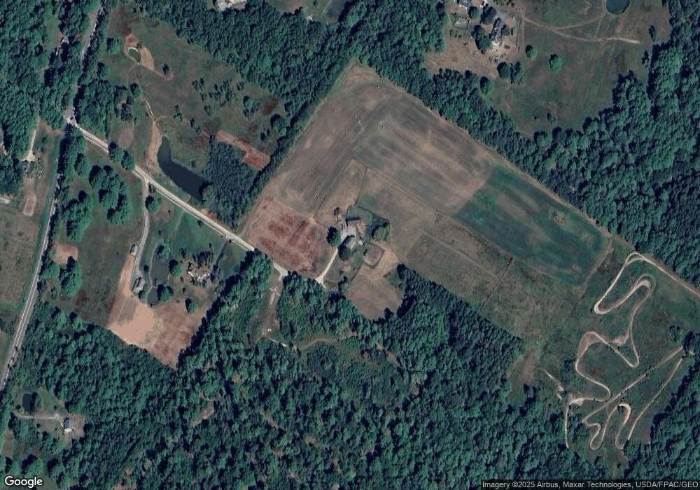
1 Loring Ln Pownal, ME 04069
Estimated Value: $501,000 - $803,000
--
Bed
--
Bath
1,942
Sq Ft
$324/Sq Ft
Est. Value
About This Home
This home is located at 1 Loring Ln, Pownal, ME 04069 and is currently estimated at $628,948, approximately $323 per square foot. 1 Loring Ln is a home with nearby schools including Freeport High School.
Create a Home Valuation Report for This Property
The Home Valuation Report is an in-depth analysis detailing your home's value as well as a comparison with similar homes in the area
Home Values in the Area
Average Home Value in this Area
Tax History Compared to Growth
Tax History
| Year | Tax Paid | Tax Assessment Tax Assessment Total Assessment is a certain percentage of the fair market value that is determined by local assessors to be the total taxable value of land and additions on the property. | Land | Improvement |
|---|---|---|---|---|
| 2024 | $6,157 | $362,200 | $137,900 | $224,300 |
| 2023 | $5,693 | $302,000 | $114,900 | $187,100 |
| 2022 | $5,436 | $302,000 | $114,900 | $187,100 |
| 2021 | $5,436 | $302,000 | $114,900 | $187,100 |
| 2020 | $5,436 | $302,000 | $114,900 | $187,100 |
| 2019 | $5,527 | $302,000 | $114,900 | $187,100 |
| 2018 | $5,436 | $302,000 | $114,900 | $187,100 |
| 2017 | $0 | $302,000 | $114,900 | $187,100 |
| 2016 | $583 | $302,000 | $114,900 | $187,100 |
| 2015 | $4,361 | $129,200 | $27,800 | $101,400 |
| 2014 | $4,457 | $129,200 | $27,800 | $101,400 |
| 2013 | $4,490 | $129,200 | $27,800 | $101,400 |
Source: Public Records
Map
Nearby Homes