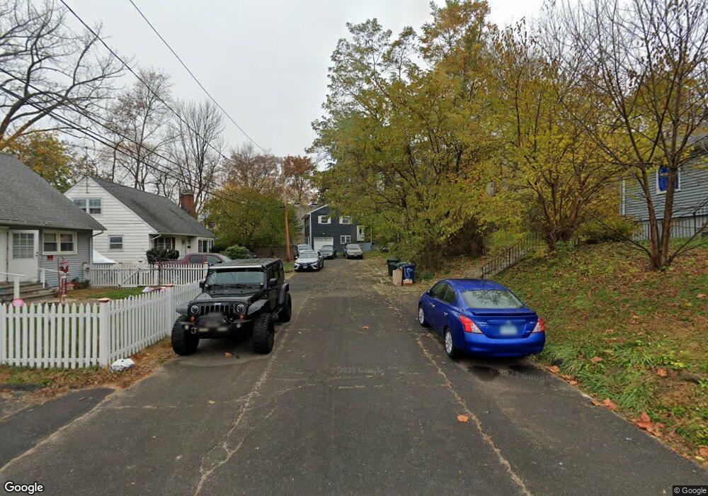
1 Lorraine St Bridgeport, CT 06604
Brooklawn-Saint Vincent NeighborhoodEstimated Value: $324,000 - $421,295
3
Beds
1
Bath
1,116
Sq Ft
$345/Sq Ft
Est. Value
About This Home
This home is located at 1 Lorraine St, Bridgeport, CT 06604 and is currently estimated at $385,074, approximately $345 per square foot. 1 Lorraine St is a home located in Fairfield County with nearby schools including Geraldine Johnson School, Central High School, and Catholic Academy of Bridgeport-St. Raphael Academy.
Ownership History
Date
Name
Owned For
Owner Type
Purchase Details
Closed on
May 21, 2025
Sold by
Alexandre Marie B
Bought by
Marie B Alexandre T B and Marie Alexandre
Current Estimated Value
Purchase Details
Closed on
Dec 9, 2009
Sold by
Maresco Peter A
Bought by
Alexandre Marie B
Home Financials for this Owner
Home Financials are based on the most recent Mortgage that was taken out on this home.
Original Mortgage
$132,275
Interest Rate
5.02%
Create a Home Valuation Report for This Property
The Home Valuation Report is an in-depth analysis detailing your home's value as well as a comparison with similar homes in the area
Home Values in the Area
Average Home Value in this Area
Purchase History
| Date | Buyer | Sale Price | Title Company |
|---|---|---|---|
| Marie B Alexandre T B | -- | None Available | |
| Marie B Alexandre T B | -- | None Available | |
| Alexandre Marie B | $135,000 | -- | |
| Alexandre Marie B | $135,000 | -- |
Source: Public Records
Mortgage History
| Date | Status | Borrower | Loan Amount |
|---|---|---|---|
| Previous Owner | Alexandre Marie B | $132,275 |
Source: Public Records
Tax History Compared to Growth
Tax History
| Year | Tax Paid | Tax Assessment Tax Assessment Total Assessment is a certain percentage of the fair market value that is determined by local assessors to be the total taxable value of land and additions on the property. | Land | Improvement |
|---|---|---|---|---|
| 2025 | $7,351 | $169,190 | $82,990 | $86,200 |
| 2024 | $7,351 | $169,190 | $82,990 | $86,200 |
| 2023 | $7,351 | $169,190 | $82,990 | $86,200 |
| 2022 | $7,351 | $169,190 | $82,990 | $86,200 |
| 2021 | $7,351 | $169,190 | $82,990 | $86,200 |
| 2020 | $6,439 | $119,260 | $41,900 | $77,360 |
| 2019 | $6,439 | $119,260 | $41,900 | $77,360 |
| 2018 | $6,484 | $119,260 | $41,900 | $77,360 |
| 2017 | $6,484 | $119,260 | $41,900 | $77,360 |
| 2016 | $6,484 | $119,260 | $41,900 | $77,360 |
| 2015 | $6,382 | $151,240 | $51,720 | $99,520 |
| 2014 | $6,382 | $151,240 | $51,720 | $99,520 |
Source: Public Records
Map
Nearby Homes
- 100 Lorraine St
- 125 E Eaton St
- 191 Oak St
- 318 Center St
- 309 Pequonnock St
- 31 Taft Ave
- 826 Norman St
- 687 Wood Ave
- 566 Wood Ave
- 78 Fairmount Ave
- 1373 Iranistan Ave
- 200 Harral Ave
- 665 W Taft Ave
- 75 Sanford Ave
- 184 Pacific St
- 113 Milne St Unit 115
- 414 Wood Ave
- 90 Tom Thumb St
- 1275 Capitol Ave
- 2345 Park Ave
- 4 Lorraine St
- 1492 North Ave Unit 212
- 1492 North Ave Unit 211
- 1492 North Ave Unit 210
- 1492 North Ave Unit 209
- 1492 North Ave Unit 208
- 1492 North Ave Unit 207
- 1492 North Ave Unit 206
- 1492 North Ave Unit 205
- 1492 North Ave Unit 204
- 1492 North Ave Unit 203
- 1492 North Ave Unit 202
- 1492 North Ave Unit 201
- 1492 North Ave Unit 112
- 1492 North Ave Unit 111
- 1492 North Ave Unit 110
- 1492 North Ave Unit 109
- 1492 North Ave Unit 108
- 1492 North Ave Unit 107