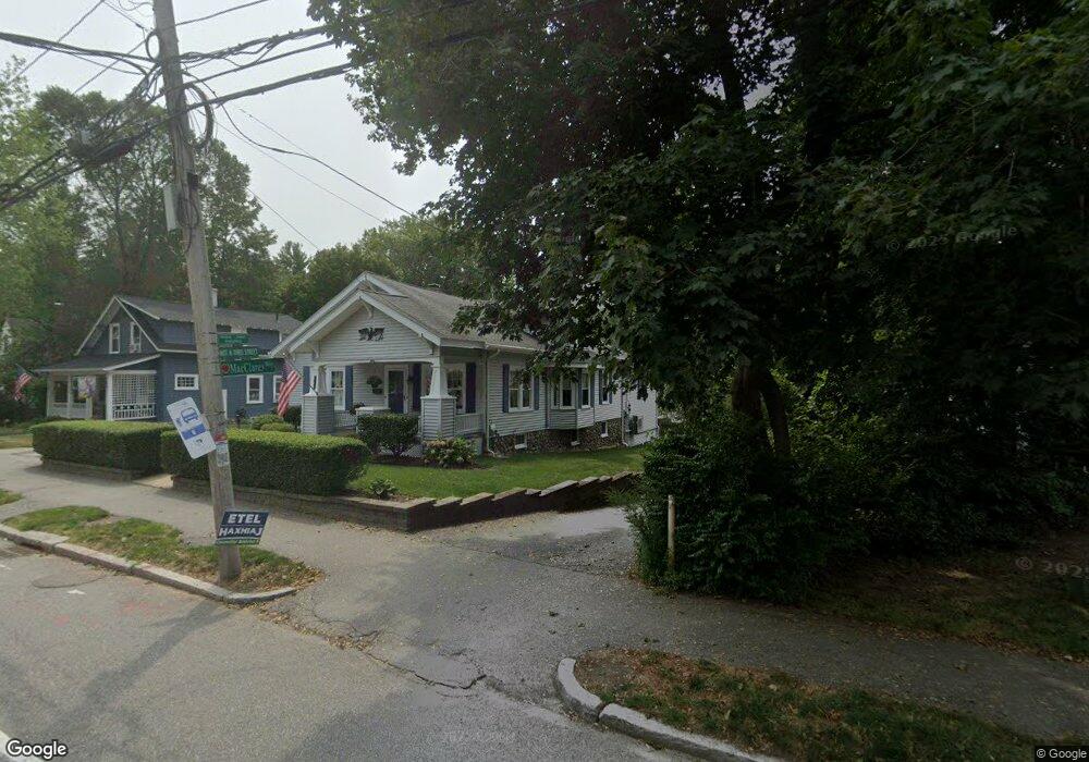
1 Mac Clarey Way Worcester, MA 01602
Tatnuck NeighborhoodEstimated Value: $433,000 - $471,000
3
Beds
2
Baths
1,629
Sq Ft
$275/Sq Ft
Est. Value
About This Home
This home is located at 1 Mac Clarey Way, Worcester, MA 01602 and is currently estimated at $447,865, approximately $274 per square foot. 1 Mac Clarey Way is a home located in Worcester County with nearby schools including Chandler Magnet, Tatnuck Magnet School, and Jacob Hiatt Magnet School.
Ownership History
Date
Name
Owned For
Owner Type
Purchase Details
Closed on
Jan 25, 2025
Sold by
Hopkins Charles M and Hopkins Allison
Bought by
Hopkins Charles M
Current Estimated Value
Purchase Details
Closed on
Mar 18, 2022
Sold by
Hopkins Charles M
Bought by
Hopkins Charles M and Hopkins Allison
Create a Home Valuation Report for This Property
The Home Valuation Report is an in-depth analysis detailing your home's value as well as a comparison with similar homes in the area
Home Values in the Area
Average Home Value in this Area
Purchase History
| Date | Buyer | Sale Price | Title Company |
|---|---|---|---|
| Hopkins Charles M | -- | None Available | |
| Hopkins Charles M | -- | None Available | |
| Hopkins Charles M | -- | None Available | |
| Hopkins Charles M | -- | None Available |
Source: Public Records
Tax History
| Year | Tax Paid | Tax Assessment Tax Assessment Total Assessment is a certain percentage of the fair market value that is determined by local assessors to be the total taxable value of land and additions on the property. | Land | Improvement |
|---|---|---|---|---|
| 2025 | $4,905 | $371,900 | $107,500 | $264,400 |
| 2024 | $4,696 | $341,500 | $107,500 | $234,000 |
| 2023 | $4,519 | $315,100 | $93,600 | $221,500 |
| 2022 | $4,172 | $274,300 | $75,000 | $199,300 |
| 2021 | $4,096 | $251,600 | $60,100 | $191,500 |
| 2020 | $3,895 | $229,100 | $60,000 | $169,100 |
| 2019 | $3,857 | $214,300 | $60,200 | $154,100 |
| 2018 | $3,848 | $203,500 | $60,200 | $143,300 |
| 2017 | $3,690 | $192,000 | $60,200 | $131,800 |
| 2016 | $3,664 | $177,800 | $44,800 | $133,000 |
| 2015 | $3,568 | $177,800 | $44,800 | $133,000 |
| 2014 | $3,474 | $177,800 | $44,800 | $133,000 |
Source: Public Records
Map
Nearby Homes
- 47R Yarnie Unit 3B
- 47R Yarnie Unit 3A
- 47R Yarnie Unit 1B
- 47R Yarnie Unit 2B
- 47R Yarnie Unit 4B
- 47R Yarnie Unit 8B
- 47R Yarnie Unit 5A
- 47R Yarnie Unit 6B
- 47R Yarnie Unit 4A
- 47R Yarnie Unit 1A
- 47R Yarnie Unit 9
- 47R Yarnie Unit 8A
- 47R Yarnie Unit 6A
- 47R Yarnie Unit 7A
- 47R Yarnie Unit 5B
- 47R Yarnie Unit 2A
- 47R Yarnie Unit 7B
- 12 Cardinal Rd
- 1029 Pleasant St Unit 19
- 23 Tiverton Pkwy
- 584 Chandler St
- 586 Chandler St
- 21 Arletta Ave
- 2 Mac Clarey Way
- 582 Chandler St
- 19 Arletta Ave
- 592 Chandler St
- 16 Arletta Ave
- 580 Chandler St
- 18 Arletta Ave
- 594 Chandler St
- 578 Chandler St
- 15 Arletta Ave
- 596 Chandler St
- 12 Arletta Ave
- 585 Chandler St
- 576 Chandler St
- 11 Arletta Ave
- 583 Chandler St
- 589 Chandler St
Your Personal Tour Guide
Ask me questions while you tour the home.