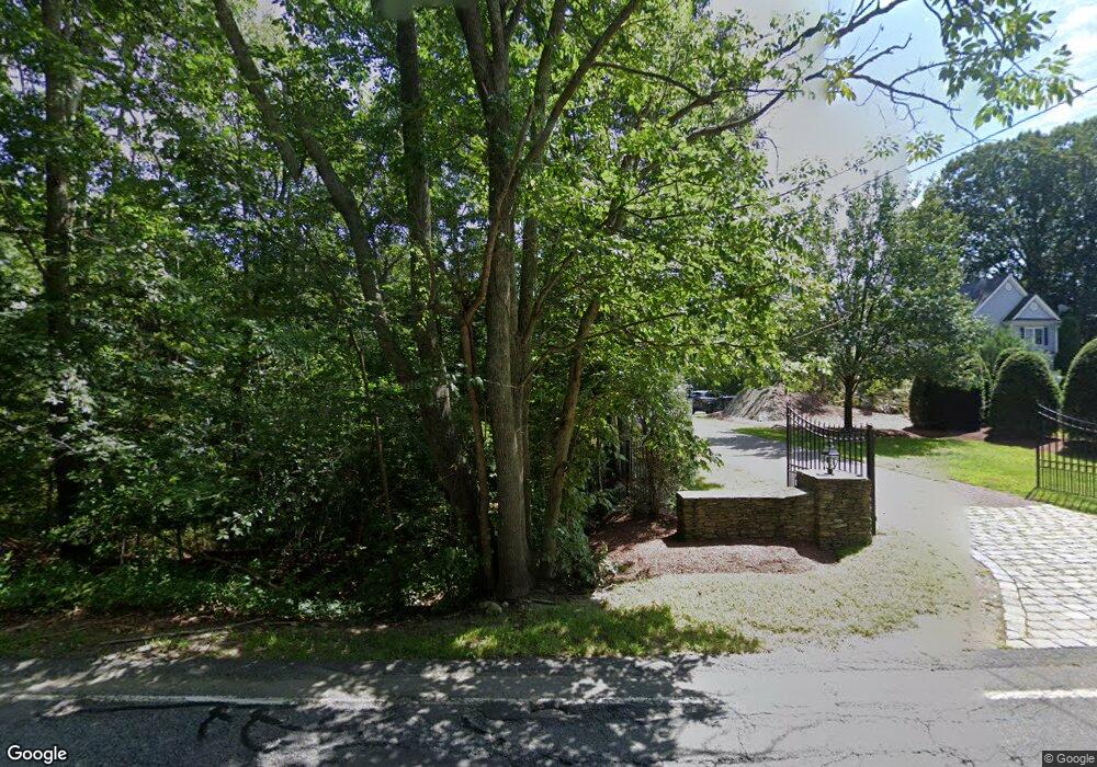
1 Main St Norfolk, MA 02056
Estimated Value: $953,000 - $1,023,000
3
Beds
4
Baths
17,000
Sq Ft
$57/Sq Ft
Est. Value
About This Home
This home is located at 1 Main St, Norfolk, MA 02056 and is currently estimated at $976,209, approximately $57 per square foot. 1 Main St is a home located in Norfolk County with nearby schools including H. Olive Day School, Freeman-Kennedy School, and Blessed Sacrament School.
Ownership History
Date
Name
Owned For
Owner Type
Purchase Details
Closed on
Apr 12, 2007
Sold by
Crossroads Constr Corp
Bought by
Needle Susan T and Needle William A
Current Estimated Value
Home Financials for this Owner
Home Financials are based on the most recent Mortgage that was taken out on this home.
Original Mortgage
$400,000
Interest Rate
6.24%
Mortgage Type
Purchase Money Mortgage
Create a Home Valuation Report for This Property
The Home Valuation Report is an in-depth analysis detailing your home's value as well as a comparison with similar homes in the area
Home Values in the Area
Average Home Value in this Area
Purchase History
| Date | Buyer | Sale Price | Title Company |
|---|---|---|---|
| Needle Susan T | $529,000 | -- |
Source: Public Records
Mortgage History
| Date | Status | Borrower | Loan Amount |
|---|---|---|---|
| Open | Needle Susan T | $390,000 | |
| Closed | Needle Susan T | $400,000 |
Source: Public Records
Tax History
| Year | Tax Paid | Tax Assessment Tax Assessment Total Assessment is a certain percentage of the fair market value that is determined by local assessors to be the total taxable value of land and additions on the property. | Land | Improvement |
|---|---|---|---|---|
| 2025 | $13,761 | $861,700 | $257,300 | $604,400 |
| 2024 | $13,186 | $846,900 | $271,600 | $575,300 |
| 2023 | $12,447 | $758,500 | $259,500 | $499,000 |
| 2022 | $11,719 | $643,900 | $240,800 | $403,100 |
| 2021 | $10,934 | $607,800 | $212,200 | $395,600 |
| 2020 | $10,416 | $558,800 | $165,200 | $393,600 |
| 2019 | $10,006 | $547,100 | $165,200 | $381,900 |
| 2018 | $9,301 | $499,500 | $152,500 | $347,000 |
| 2017 | $9,172 | $503,400 | $152,500 | $350,900 |
| 2016 | $9,016 | $498,700 | $154,700 | $344,000 |
| 2015 | $8,719 | $493,700 | $145,900 | $347,800 |
| 2014 | $8,528 | $489,300 | $145,900 | $343,400 |
Source: Public Records
Map
Nearby Homes
- 1187 West St
- 4 Haydn Ln
- 92 Seekonk St
- 12 Brookside Ln
- 533 Lincoln Rd
- 27 Thomas Mann Cir Unit 18
- 465 Lincoln Rd
- 37 Thomas Mann Cir Unit 23
- 28 Thomas Mann Cir Unit Lot 38
- 26 Thomas Mann Cir Unit 37
- 45 Thomas Mann Cir Unit 27
- 44 Thomas Mann Cir Unit 40
- 49 Thomas Mann Cir Unit 29
- 53 Thomas Mann Cir Unit 31
- 63 Thomas Mann Cir Unit 36
- 33 Boydes Crossing Unit 33
- 33 Boydes Crossing
- 35 Thomas Mann Cir Unit 22
- 3 Elliot Mills Unit 2
- 6 Elliot Mills Unit 31
Your Personal Tour Guide
Ask me questions while you tour the home.