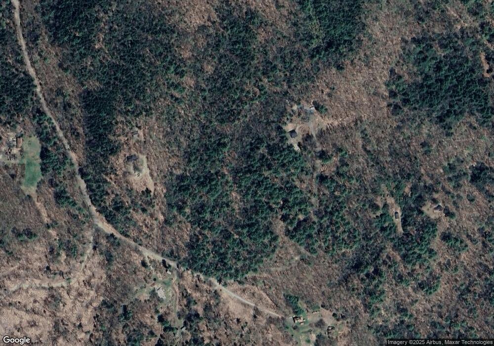
1 Marlstead Ln Alstead, NH 03602
Estimated Value: $392,000 - $547,000
3
Beds
2
Baths
2,948
Sq Ft
$158/Sq Ft
Est. Value
About This Home
This home is located at 1 Marlstead Ln, Alstead, NH 03602 and is currently estimated at $464,597, approximately $157 per square foot. 1 Marlstead Ln is a home with nearby schools including Alstead Primary School, Vilas Elementary School, and Fall Mountain Regional High School.
Create a Home Valuation Report for This Property
The Home Valuation Report is an in-depth analysis detailing your home's value as well as a comparison with similar homes in the area
Home Values in the Area
Average Home Value in this Area
Tax History Compared to Growth
Tax History
| Year | Tax Paid | Tax Assessment Tax Assessment Total Assessment is a certain percentage of the fair market value that is determined by local assessors to be the total taxable value of land and additions on the property. | Land | Improvement |
|---|---|---|---|---|
| 2024 | $6,920 | $256,500 | $74,800 | $181,700 |
| 2023 | $5,852 | $230,111 | $48,411 | $181,700 |
| 2022 | $5,670 | $230,111 | $48,411 | $181,700 |
| 2021 | $5,350 | $230,111 | $48,411 | $181,700 |
| 2020 | $3,742 | $230,103 | $48,403 | $181,700 |
| 2019 | $3,575 | $202,693 | $35,193 | $167,500 |
| 2018 | $5,485 | $202,767 | $35,267 | $167,500 |
| 2017 | $5,405 | $202,651 | $35,151 | $167,500 |
| 2016 | $5,452 | $202,590 | $35,090 | $167,500 |
| 2015 | $5,375 | $202,590 | $35,090 | $167,500 |
| 2014 | $5,226 | $219,565 | $47,365 | $172,200 |
| 2013 | $5,884 | $219,565 | $47,365 | $172,200 |
Source: Public Records
Map
Nearby Homes
- 27 Shadowland Rd
- 32 Blueberry Hill Ln
- 178 North Rd
- 172 Nh-Rte 123 Route
- 6 Mill St
- 16 Nash Corner Rd
- 0 Washington Pond Rd Unit 113
- 00 Alstead Center Rd
- 473 Pratt Rd
- 29&31 White Brook Rd
- 33 Maclean Rd
- 96 Maclean Rd
- 67 Lang Rd
- 55 Sunset Cir
- 1076 Nh Route 123a
- 101 Gilsum Rd
- 16 Vilas Rd
- 363 March Hill Rd
- 24 White Brook Dr
- 100 River St
