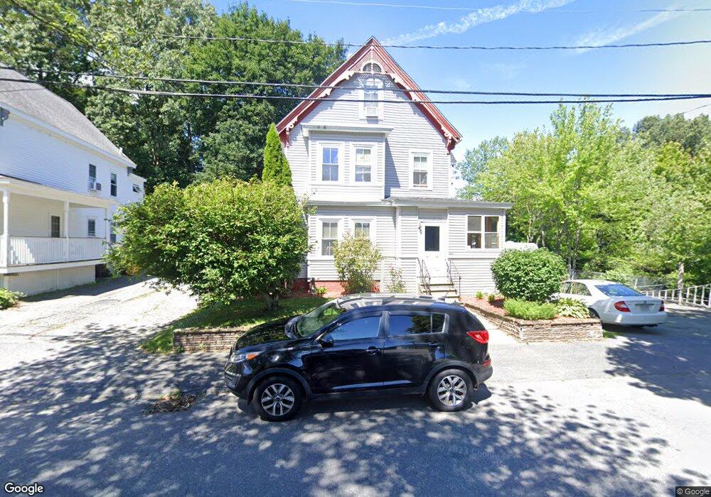
1 Mason St Hudson, MA 01749
Estimated Value: $516,000 - $721,934
4
Beds
3
Baths
2,032
Sq Ft
$303/Sq Ft
Est. Value
About This Home
This home is located at 1 Mason St, Hudson, MA 01749 and is currently estimated at $616,234, approximately $303 per square foot. 1 Mason St is a home located in Middlesex County with nearby schools including David J. Quinn Middle School, Hudson High School, and First Steps Children's Center.
Ownership History
Date
Name
Owned For
Owner Type
Purchase Details
Closed on
Mar 20, 1995
Sold by
Mason St Rt and Kahn
Bought by
Cameron Bruce M
Current Estimated Value
Home Financials for this Owner
Home Financials are based on the most recent Mortgage that was taken out on this home.
Original Mortgage
$80,750
Interest Rate
8.89%
Mortgage Type
Purchase Money Mortgage
Purchase Details
Closed on
May 22, 1989
Sold by
Zager Mae T
Bought by
Zager Jacob
Create a Home Valuation Report for This Property
The Home Valuation Report is an in-depth analysis detailing your home's value as well as a comparison with similar homes in the area
Home Values in the Area
Average Home Value in this Area
Purchase History
| Date | Buyer | Sale Price | Title Company |
|---|---|---|---|
| Cameron Bruce M | $85,000 | -- | |
| Zager Jacob | $10,000 | -- |
Source: Public Records
Mortgage History
| Date | Status | Borrower | Loan Amount |
|---|---|---|---|
| Open | Zager Jacob | $160,000 | |
| Closed | Zager Jacob | $80,750 |
Source: Public Records
Tax History
| Year | Tax Paid | Tax Assessment Tax Assessment Total Assessment is a certain percentage of the fair market value that is determined by local assessors to be the total taxable value of land and additions on the property. | Land | Improvement |
|---|---|---|---|---|
| 2025 | $7,992 | $575,800 | $161,800 | $414,000 |
| 2024 | $7,582 | $541,600 | $147,100 | $394,500 |
| 2023 | $8,031 | $550,100 | $141,500 | $408,600 |
| 2022 | $7,694 | $485,100 | $128,600 | $356,500 |
| 2021 | $8,157 | $491,700 | $122,500 | $369,200 |
| 2020 | $7,571 | $455,800 | $120,100 | $335,700 |
| 2019 | $7,657 | $449,600 | $120,100 | $329,500 |
| 2018 | $7,347 | $419,800 | $114,300 | $305,500 |
| 2017 | $6,612 | $377,800 | $109,000 | $268,800 |
| 2016 | $5,951 | $344,200 | $109,000 | $235,200 |
| 2015 | $5,568 | $322,400 | $109,000 | $213,400 |
| 2014 | $5,432 | $311,800 | $95,500 | $216,300 |
Source: Public Records
Map
Nearby Homes
- 16 Houghton St
- 41 Walnut St
- 16 Barnes Blvd Unit 16
- 11 Barracks Rd Unit 11
- 32 Barracks Rd Unit 32
- 9 Barracks Rd Unit 9
- 4 Barracks Rd Unit 4
- 3 Barracks Rd Unit 3
- 7 Barracks Rd Unit 7
- 5 Barracks Rd Unit 5
- 13 Barracks Rd Unit 13
- 10 Barracks Rd Unit 10
- 65 Main St
- 17 School St Unit C
- 17 School St Unit A
- 248 Main St Unit 207
- 248 Main St Unit 210
- 34 Forest Ave
- 21 Felton St
- 56 Park St