1 Mc Donald Rd Albany, NY 12209
Delaware Avenue NeighborhoodEstimated Value: $134,000 - $189,000
3
Beds
1
Bath
780
Sq Ft
$202/Sq Ft
Est. Value
About This Home
This home is located at 1 Mc Donald Rd, Albany, NY 12209 and is currently estimated at $157,946, approximately $202 per square foot. 1 Mc Donald Rd is a home located in Albany County with nearby schools including New Scotland Elementary School, William S Hackett Middle School, and Albany High School.
Ownership History
Date
Name
Owned For
Owner Type
Purchase Details
Closed on
Jan 8, 2021
Sold by
Matolka William D
Bought by
Lowery Tristan D
Current Estimated Value
Purchase Details
Closed on
Feb 6, 2009
Sold by
Adams-Tobarri Gwedolyn
Bought by
Onufer Katherine
Purchase Details
Closed on
Feb 6, 2008
Sold by
Adams Tobarri Gwendolyn and Adams Tobarri Gwendalyn
Bought by
Onufer Katherine
Home Financials for this Owner
Home Financials are based on the most recent Mortgage that was taken out on this home.
Original Mortgage
$74,023
Interest Rate
5.2%
Purchase Details
Closed on
Jun 28, 2001
Sold by
Naccarato Susan A
Bought by
Adams-Tobarri Gwendolyn
Create a Home Valuation Report for This Property
The Home Valuation Report is an in-depth analysis detailing your home's value as well as a comparison with similar homes in the area
Home Values in the Area
Average Home Value in this Area
Purchase History
| Date | Buyer | Sale Price | Title Company |
|---|---|---|---|
| Lowery Tristan D | $141,000 | Chicago Title Albany | |
| Onufer Katherine | $75,000 | -- | |
| Onufer Katherine | $75,000 | None Available | |
| Adams-Tobarri Gwendolyn | $57,950 | Anne Reynolds Copps |
Source: Public Records
Mortgage History
| Date | Status | Borrower | Loan Amount |
|---|---|---|---|
| Previous Owner | Onufer Katherine | $74,023 |
Source: Public Records
Tax History Compared to Growth
Tax History
| Year | Tax Paid | Tax Assessment Tax Assessment Total Assessment is a certain percentage of the fair market value that is determined by local assessors to be the total taxable value of land and additions on the property. | Land | Improvement |
|---|---|---|---|---|
| 2024 | $3,331 | $127,000 | $25,400 | $101,600 |
| 2023 | $2,948 | $72,500 | $15,400 | $57,100 |
| 2022 | $2,884 | $72,500 | $15,400 | $57,100 |
| 2021 | $2,878 | $72,500 | $15,400 | $57,100 |
| 2020 | $2,113 | $72,500 | $15,400 | $57,100 |
| 2019 | $2,044 | $72,500 | $15,400 | $57,100 |
| 2018 | $2,107 | $72,500 | $15,400 | $57,100 |
| 2017 | $997 | $72,500 | $15,400 | $57,100 |
| 2016 | $2,050 | $72,500 | $15,400 | $57,100 |
| 2015 | $2,016 | $72,500 | $10,700 | $61,800 |
| 2014 | -- | $72,500 | $10,700 | $61,800 |
Source: Public Records
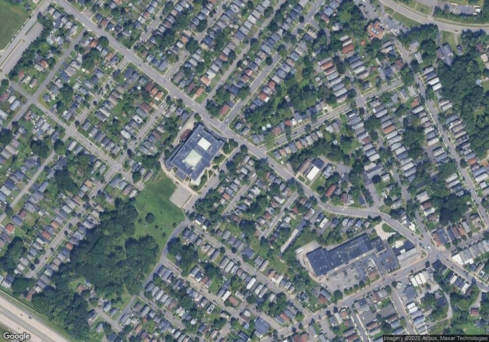
Map
Nearby Homes
- 6 Sard Rd
- 50 Mapleridge Ave
- 561 Delaware Ave
- 689-691 Delaware Ave
- 65 Rose Ct
- 44 Fullerton St
- 15 Cuyler Ave
- 63 Holmes Ct
- 60 Dartmouth St
- 38 Southern Blvd
- 35 Southern Blvd
- 44 Southern Blvd
- 24 Sparkill Ave
- 58 Southern Blvd
- 34-36 Sparkill Ave
- 446 2nd Ave
- 99 Southern Blvd
- 96 Dartmouth St
- 2 Kehoe St
- 105 Kenosha St