1 Meadowbrook Rd Weston, MA 02493
Estimated Value: $3,114,563 - $4,368,000
4
Beds
5
Baths
4,673
Sq Ft
$850/Sq Ft
Est. Value
About This Home
This home is located at 1 Meadowbrook Rd, Weston, MA 02493 and is currently estimated at $3,973,641, approximately $850 per square foot. 1 Meadowbrook Rd is a home located in Middlesex County with nearby schools including Country Elementary School, Woodland Elementary School, and Field Elementary School.
Ownership History
Date
Name
Owned For
Owner Type
Purchase Details
Closed on
Aug 2, 2002
Sold by
Gutierrez Gloria M and Gaiter Donald
Bought by
Reidel George A and Reidel Amy M
Current Estimated Value
Home Financials for this Owner
Home Financials are based on the most recent Mortgage that was taken out on this home.
Original Mortgage
$1,500,000
Outstanding Balance
$638,807
Interest Rate
6.64%
Mortgage Type
Purchase Money Mortgage
Estimated Equity
$3,334,834
Create a Home Valuation Report for This Property
The Home Valuation Report is an in-depth analysis detailing your home's value as well as a comparison with similar homes in the area
Home Values in the Area
Average Home Value in this Area
Purchase History
| Date | Buyer | Sale Price | Title Company |
|---|---|---|---|
| Reidel George A | $2,250,000 | -- | |
| Reidel George A | $2,250,000 | -- |
Source: Public Records
Mortgage History
| Date | Status | Borrower | Loan Amount |
|---|---|---|---|
| Open | Reidel George A | $1,500,000 | |
| Closed | Reidel George A | $1,500,000 | |
| Previous Owner | Reidel George A | $50,000 | |
| Previous Owner | Reidel George A | $400,000 |
Source: Public Records
Tax History
| Year | Tax Paid | Tax Assessment Tax Assessment Total Assessment is a certain percentage of the fair market value that is determined by local assessors to be the total taxable value of land and additions on the property. | Land | Improvement |
|---|---|---|---|---|
| 2025 | $35,853 | $3,230,000 | $1,618,800 | $1,611,200 |
| 2024 | $35,354 | $3,179,300 | $1,618,800 | $1,560,500 |
| 2023 | $34,269 | $2,894,300 | $1,618,800 | $1,275,500 |
| 2022 | $33,781 | $2,637,100 | $1,523,400 | $1,113,700 |
| 2021 | $5,709 | $2,510,500 | $1,449,200 | $1,061,300 |
| 2020 | $32,577 | $2,539,100 | $1,449,200 | $1,089,900 |
| 2019 | $30,864 | $2,451,500 | $1,354,000 | $1,097,500 |
| 2018 | $5,191 | $2,465,700 | $1,354,000 | $1,111,700 |
| 2017 | $30,639 | $2,470,900 | $1,354,000 | $1,116,900 |
| 2016 | $29,769 | $2,448,100 | $1,354,000 | $1,094,100 |
| 2015 | $29,032 | $2,364,200 | $1,290,000 | $1,074,200 |
Source: Public Records
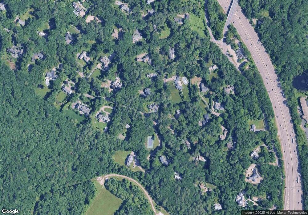
Map
Nearby Homes
- 22 Irene Cir
- 12 Robin Rd
- 130 Summer St
- 56 Cart Path Rd
- 49 Newton St
- 126 Charles St (Aub)
- 2202 Commonwealth Ave Unit 1
- 4 Willow Rd
- 70 Possum Rd
- 12 Oakwood Rd
- 10 Higgins St
- 187 Melrose St
- 41 Orchard Ave
- 283 Melrose St
- 232 Melrose St Unit 2
- 126 Newton St
- 76 Robin Rd
- 17 Lasell St
- 49 Staniford St
- 154 Newton St
- 9 Meadowbrook Rd
- 70 Loring Rd
- 61 Loring Rd
- 74 Loring Rd
- 73 Loring Rd
- 19 Meadowbrook Rd
- 18 Meadowbrook Rd
- 51 Loring Rd
- 50 Loring Rd
- 50 Loring Rd Unit 1
- 50 Loring Rd Unit house
- 55 Loring Rd
- 7 Prescott Ln
- 2 Meadowbrook Rd
- 83 Loring Rd
- 8 Prescott Ln
- 25 Meadowbrook Rd
- 5 Prescott Ln
- 41 Loring Rd
- 77 Autumn Rd
Your Personal Tour Guide
Ask me questions while you tour the home.