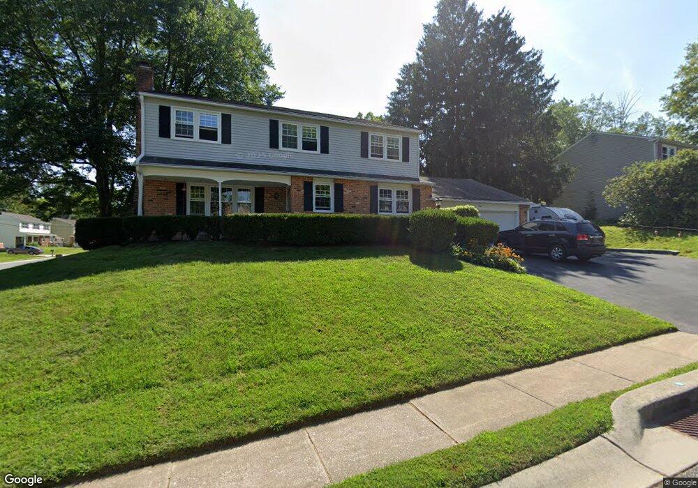
1 N Wynwyd Dr Newark, DE 19711
Estimated Value: $397,000 - $591,000
4
Beds
3
Baths
2,215
Sq Ft
$227/Sq Ft
Est. Value
About This Home
This home is located at 1 N Wynwyd Dr, Newark, DE 19711 and is currently estimated at $503,202, approximately $227 per square foot. 1 N Wynwyd Dr is a home located in New Castle County with nearby schools including Downes (John R.) Elementary School, Shue-Medill Middle School, and Newark High School.
Ownership History
Date
Name
Owned For
Owner Type
Purchase Details
Closed on
Apr 14, 2014
Sold by
Woodward Mark A and Ryan Ann M
Bought by
Woodward Mark Allen and Mark Allen Woodward Revocable
Current Estimated Value
Purchase Details
Closed on
Feb 27, 2001
Sold by
Doto Joseph F and Doto Barbara T
Bought by
Woodward Mark A and Ryan Ann M
Home Financials for this Owner
Home Financials are based on the most recent Mortgage that was taken out on this home.
Original Mortgage
$110,800
Interest Rate
7%
Create a Home Valuation Report for This Property
The Home Valuation Report is an in-depth analysis detailing your home's value as well as a comparison with similar homes in the area
Home Values in the Area
Average Home Value in this Area
Purchase History
| Date | Buyer | Sale Price | Title Company |
|---|---|---|---|
| Woodward Mark Allen | -- | None Available | |
| Woodward Mark A | $173,000 | -- |
Source: Public Records
Mortgage History
| Date | Status | Borrower | Loan Amount |
|---|---|---|---|
| Closed | Woodward Mark A | $110,800 |
Source: Public Records
Tax History Compared to Growth
Tax History
| Year | Tax Paid | Tax Assessment Tax Assessment Total Assessment is a certain percentage of the fair market value that is determined by local assessors to be the total taxable value of land and additions on the property. | Land | Improvement |
|---|---|---|---|---|
| 2024 | $807 | $76,500 | $13,600 | $62,900 |
| 2023 | $2,266 | $76,500 | $13,600 | $62,900 |
| 2022 | $2,737 | $76,500 | $13,600 | $62,900 |
| 2021 | $2,667 | $76,500 | $13,600 | $62,900 |
| 2020 | $2,590 | $76,500 | $13,600 | $62,900 |
| 2019 | $2,663 | $76,500 | $13,600 | $62,900 |
| 2018 | $2,218 | $76,500 | $13,600 | $62,900 |
| 2017 | $2,152 | $76,500 | $13,600 | $62,900 |
| 2016 | $2,146 | $76,500 | $13,600 | $62,900 |
| 2015 | $1,924 | $76,500 | $13,600 | $62,900 |
| 2014 | $1,923 | $76,500 | $13,600 | $62,900 |
Source: Public Records
Map
Nearby Homes
- 914 Quail Ln
- 104 Leahy Dr
- 102 Leahy Dr
- 100 Leahy Dr
- 03a Leahy Dr
- 01a Leahy Dr
- The Reid Plan at Briarcreek North
- The Vincent Plan at Briarcreek North
- The Murray Plan at Briarcreek North
- The Wyeth Plan at Briarcreek North
- 3 Kayser Ct
- 405 Leahy Dr
- 406 Leahy Dr
- 04a Leahy Dr
- 02a Leahy Dr
- 65 Jackson Hall School Rd
- 506 Cambridge Dr
- 36 Julie Ln
- 3 Julie Ln
- 34 Ethan Allen Ct
- 125 Timberline Dr
- 3 N Wynwyd Dr
- 119 Timberline Dr
- 2 S Wynwyd Dr
- 5 N Wynwyd Dr
- 4 S Wynwyd Dr
- 126 Timberline Dr
- 4 N Wynwyd Dr
- 122 Timberline Dr
- 128 Timberline Dr
- 6 S Wynwyd Dr
- 120 Timberline Dr
- 6 N Wynwyd Dr
- 7 N Wynwyd Dr
- 118 Timberline Dr
- 130 Timberline Dr
- 8 S Wynwyd Dr
- 8 N Wynwyd Dr
- 1 S Wynwyd Dr
- 115 Timberline Dr