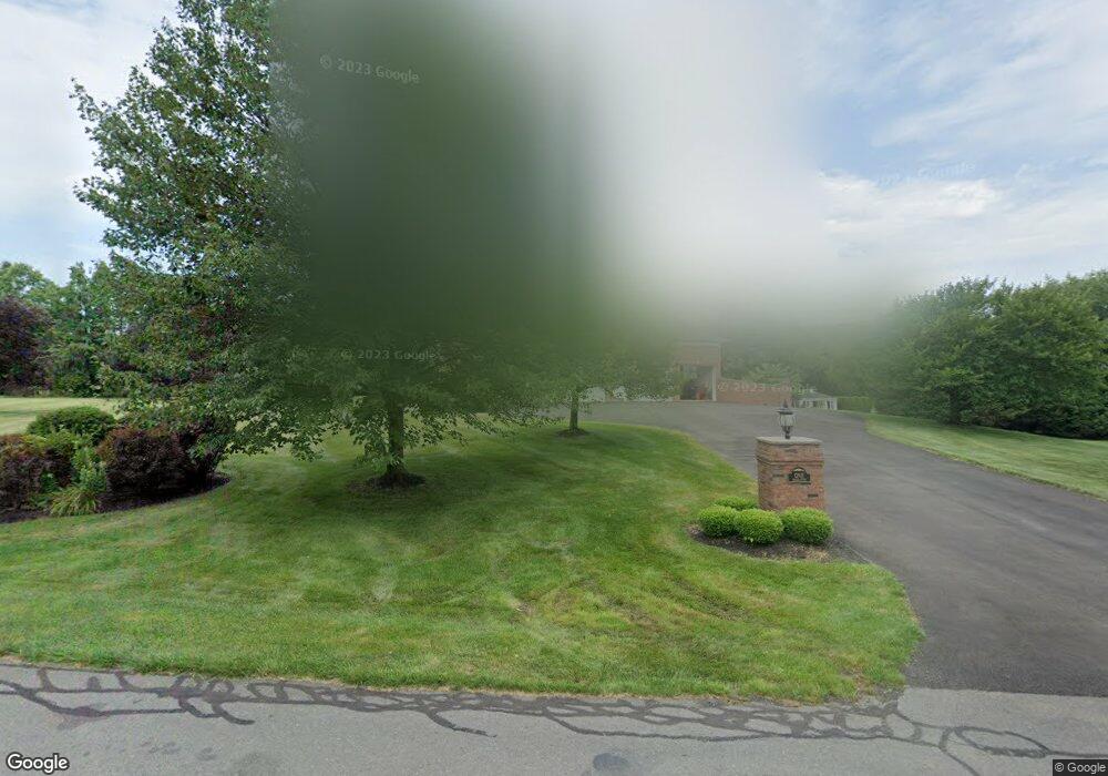
1 Nicola Ct Cranbury, NJ 08512
Estimated Value: $1,265,000 - $2,193,580
6
Beds
7
Baths
6,308
Sq Ft
$272/Sq Ft
Est. Value
About This Home
This home is located at 1 Nicola Ct, Cranbury, NJ 08512 and is currently estimated at $1,716,645, approximately $272 per square foot. 1 Nicola Ct is a home located in Middlesex County with nearby schools including The Cranbury School.
Ownership History
Date
Name
Owned For
Owner Type
Purchase Details
Closed on
Aug 25, 2009
Sold by
Amico Robert and Amico Amy
Bought by
Amico Amy
Current Estimated Value
Home Financials for this Owner
Home Financials are based on the most recent Mortgage that was taken out on this home.
Original Mortgage
$704,000
Interest Rate
5.36%
Mortgage Type
Stand Alone First
Purchase Details
Closed on
Feb 22, 2002
Sold by
Entprises Kerani
Bought by
Amico Robert and Amico Amy
Home Financials for this Owner
Home Financials are based on the most recent Mortgage that was taken out on this home.
Original Mortgage
$750,000
Interest Rate
7.05%
Create a Home Valuation Report for This Property
The Home Valuation Report is an in-depth analysis detailing your home's value as well as a comparison with similar homes in the area
Home Values in the Area
Average Home Value in this Area
Purchase History
| Date | Buyer | Sale Price | Title Company |
|---|---|---|---|
| Amico Amy | -- | Allied Title Llc | |
| Amico Robert | $1,240,000 | -- |
Source: Public Records
Mortgage History
| Date | Status | Borrower | Loan Amount |
|---|---|---|---|
| Open | Amico Robert | $638,900 | |
| Closed | Amico Robert | $698,000 | |
| Closed | Amico Amy | $704,000 | |
| Previous Owner | Amico Robert | $750,000 |
Source: Public Records
Tax History Compared to Growth
Tax History
| Year | Tax Paid | Tax Assessment Tax Assessment Total Assessment is a certain percentage of the fair market value that is determined by local assessors to be the total taxable value of land and additions on the property. | Land | Improvement |
|---|---|---|---|---|
| 2024 | $22,258 | $1,231,100 | $396,400 | $834,700 |
| 2023 | $22,258 | $1,231,100 | $396,400 | $834,700 |
| 2022 | $21,938 | $1,231,100 | $396,400 | $834,700 |
| 2021 | $18,649 | $1,392,200 | $396,400 | $995,800 |
| 2020 | $24,781 | $1,392,200 | $396,400 | $995,800 |
| 2019 | $25,046 | $1,392,200 | $396,400 | $995,800 |
| 2018 | $27,412 | $1,392,200 | $396,400 | $995,800 |
| 2017 | $26,579 | $1,386,500 | $396,400 | $990,100 |
| 2016 | $26,801 | $1,386,500 | $396,400 | $990,100 |
| 2015 | $26,316 | $1,386,500 | $396,400 | $990,100 |
| 2014 | $26,413 | $1,386,500 | $396,400 | $990,100 |
Source: Public Records
Map
Nearby Homes
- 52 Bradford Ln
- 21 Cole Place
- 1812 Ravens Crest Dr
- 3 Monroe Ct
- 815 Ravens Crest Dr
- 150 Dey Rd
- 505 Ravens Crest Dr Unit 5
- 403 Ravens Crest Dr
- 5208 Ravens Crest Dr
- 422 Ravens Crest Dr Unit 422
- 4806 Ravens Crest Dr Unit 4806
- 210 Ravens Crest Dr
- 25 Franklin Dr
- 2203 Aspen Dr
- 1816 Aspen Dr
- 11 Adams Ct
- 119-127 Broadway Rd
- 1010 Aspen Dr
- 1211 Aspen Dr