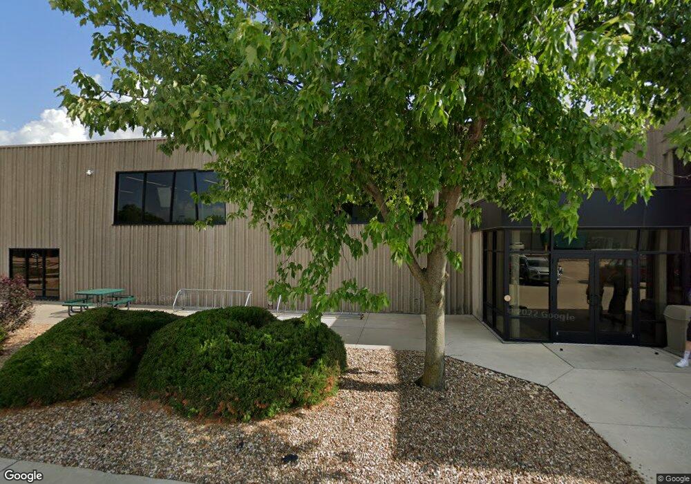
1 Parsons Dr Hiawatha, IA 52233
Estimated Value: $8,032,109
--
Bed
--
Bath
73,674
Sq Ft
$109/Sq Ft
Est. Value
About This Home
This home is located at 1 Parsons Dr, Hiawatha, IA 52233 and is currently priced at $8,032,109, approximately $109 per square foot. 1 Parsons Dr is a home located in Linn County with nearby schools including T.C. Cherry Elementary School, Nixon Elementary School, and Ponderosa Elementary School.
Ownership History
Date
Name
Owned For
Owner Type
Purchase Details
Closed on
Dec 28, 2023
Sold by
Godaddycom Inc
Bought by
Fgd Investments Llc
Current Estimated Value
Create a Home Valuation Report for This Property
The Home Valuation Report is an in-depth analysis detailing your home's value as well as a comparison with similar homes in the area
Home Values in the Area
Average Home Value in this Area
Purchase History
| Date | Buyer | Sale Price | Title Company |
|---|---|---|---|
| Fgd Investments Llc | $3,100,000 | Proper Title |
Source: Public Records
Tax History Compared to Growth
Tax History
| Year | Tax Paid | Tax Assessment Tax Assessment Total Assessment is a certain percentage of the fair market value that is determined by local assessors to be the total taxable value of land and additions on the property. | Land | Improvement |
|---|---|---|---|---|
| 2025 | $187,368 | $4,447,500 | $893,100 | $3,554,400 |
| 2024 | $197,786 | $4,621,200 | $893,100 | $3,728,100 |
| 2023 | $197,786 | $5,939,500 | $893,100 | $5,046,400 |
| 2022 | $196,470 | $5,980,400 | $687,000 | $5,293,400 |
| 2021 | $206,282 | $5,980,400 | $687,000 | $5,293,400 |
| 2020 | $206,282 | $6,117,400 | $687,000 | $5,430,400 |
| 2019 | $207,198 | $6,234,700 | $687,000 | $5,547,700 |
| 2018 | $207,326 | $6,234,700 | $687,000 | $5,547,700 |
| 2017 | $64,624 | $1,957,400 | $687,000 | $1,270,400 |
| 2016 | $117,302 | $3,395,500 | $687,000 | $2,708,500 |
| 2015 | $117,303 | $3,393,800 | $687,000 | $2,706,800 |
| 2014 | $115,014 | $3,393,800 | $687,000 | $2,706,800 |
| 2013 | $122,640 | $3,393,800 | $687,000 | $2,706,800 |
Source: Public Records
Map
Nearby Homes
- 3 N Center Point Rd
- 1 N Center Point Rd
- 114 Northwood Dr
- 105 W Willman St
- 250 Cimarron Dr Unit 311
- 109 E Willman St
- 780 Ryan Ave
- 5455 Blairs Ferry Rd NE
- 6505 Brookview Ln NE
- 306 10th Ave
- 1355 Robins Rd
- 0 Council St NE
- 1213 Raney St
- 1364 Cress Pkwy
- 1213 Bowler St
- 1472 Tower Ln NE Unit 5
- 1450 Tower Ln NE
- 1407 Tower Ln NE Unit 1407
- 2838 Anne Dr
- 2596 Anne Ln
- 109 N Center Point Rd
- 111 N Center Point Rd Unit B
- 103 N Center Point Rd
- 99 N Center Point Rd
- 105 N Center Point Rd
- 97 N Center Point Rd
- 190 Robins Rd
- 406 N Center Point Rd
- 402 N Center Point Rd
- 500 N Center Point Rd
- 400 N Center Point Rd
- 107 N Center Point Rd
- 101 N Center Point Rd
- 102 Fisher St
- 104 Fisher St
- 315 Robins Rd
- 106 Fisher St
- 91 N Center Point Rd
- 295 Robins Rd
- 108 Fisher St