1 Penrose Dr Savannah, GA 31410
Whitemarsh Island NeighborhoodEstimated Value: $1,187,000 - $2,366,000
4
Beds
7
Baths
4,733
Sq Ft
$378/Sq Ft
Est. Value
About This Home
This home is located at 1 Penrose Dr, Savannah, GA 31410 and is currently estimated at $1,791,004, approximately $378 per square foot. 1 Penrose Dr is a home located in Chatham County with nearby schools including Marshpoint Elementary School, Coastal Middle School, and Islands High School.
Ownership History
Date
Name
Owned For
Owner Type
Purchase Details
Closed on
May 31, 2019
Sold by
Deen James Linton
Bought by
Kastick Brian M and Kastick Mary Kathryn K
Current Estimated Value
Home Financials for this Owner
Home Financials are based on the most recent Mortgage that was taken out on this home.
Original Mortgage
$1,000,000
Outstanding Balance
$879,245
Interest Rate
4.1%
Mortgage Type
New Conventional
Estimated Equity
$911,759
Purchase Details
Closed on
Nov 23, 2005
Sold by
Not Provided
Bought by
Deen James Linton and Deen Brooke
Home Financials for this Owner
Home Financials are based on the most recent Mortgage that was taken out on this home.
Original Mortgage
$1,258,930
Interest Rate
6.1%
Mortgage Type
New Conventional
Create a Home Valuation Report for This Property
The Home Valuation Report is an in-depth analysis detailing your home's value as well as a comparison with similar homes in the area
Home Values in the Area
Average Home Value in this Area
Purchase History
| Date | Buyer | Sale Price | Title Company |
|---|---|---|---|
| Kastick Brian M | $1,300,000 | -- | |
| Deen James Linton | -- | -- |
Source: Public Records
Mortgage History
| Date | Status | Borrower | Loan Amount |
|---|---|---|---|
| Open | Kastick Brian M | $1,000,000 | |
| Previous Owner | Deen James Linton | $1,258,930 |
Source: Public Records
Tax History Compared to Growth
Tax History
| Year | Tax Paid | Tax Assessment Tax Assessment Total Assessment is a certain percentage of the fair market value that is determined by local assessors to be the total taxable value of land and additions on the property. | Land | Improvement |
|---|---|---|---|---|
| 2025 | $15,596 | $511,640 | $253,440 | $258,200 |
| 2024 | $15,596 | $502,520 | $253,440 | $249,080 |
| 2023 | $14,478 | $521,560 | $253,440 | $268,120 |
| 2022 | $14,710 | $476,480 | $253,440 | $223,040 |
| 2021 | $15,242 | $421,600 | $253,440 | $168,160 |
| 2020 | $13,854 | $0 | $0 | $0 |
| 2019 | $13,938 | $975 | $0 | $0 |
| 2018 | $12,745 | $413,640 | $253,440 | $160,200 |
| 2017 | $12,564 | $416,800 | $253,440 | $163,360 |
| 2016 | $12,606 | $415,760 | $253,440 | $162,320 |
| 2014 | -- | $420,000 | $0 | $0 |
Source: Public Records
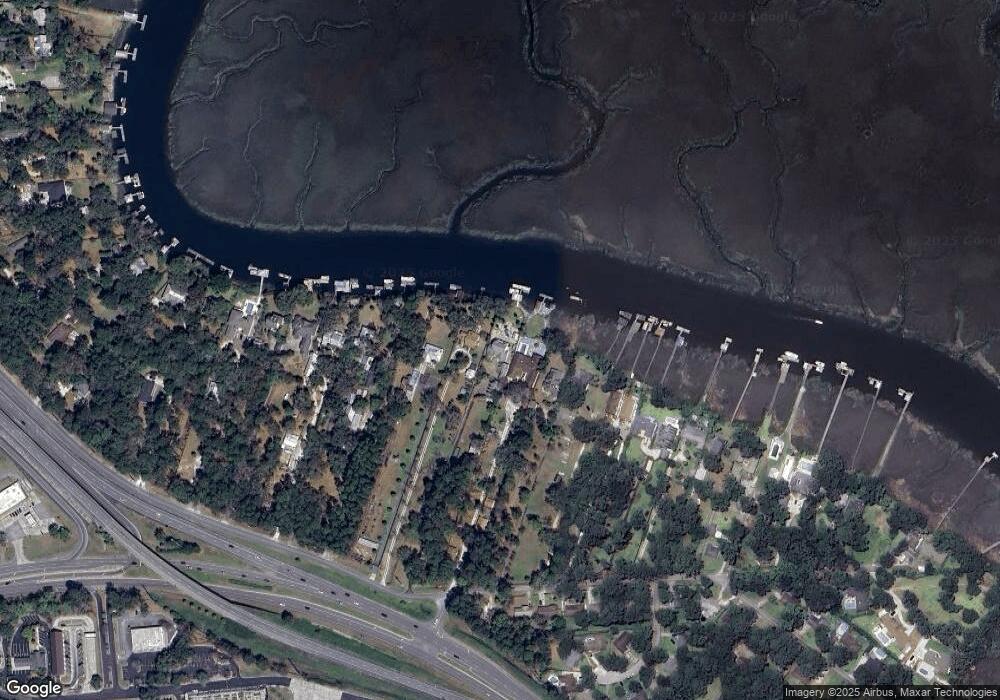
Map
Nearby Homes
- 29 Penrose Dr
- 33 Penrose Dr
- 115 Binnacle Ct
- 129 Ropemaker Ln
- 3 Fort Bartow Dr
- 105 Crossover Ln
- 156 Ropemaker Ln
- 310 Mapmaker Ln
- 128 Mapmaker Ln
- 303 Mapmaker Ln
- 12 Oyster Catcher Ln
- 115 Turnbuckle Ct
- 204 Redan Dr
- 106 Blockade Ct
- 1024 Cheryl St
- 213 Redan Dr
- 117 Bobstay Ct
- 11 Flagship Ct
- 1110 Juanita St
- 306 Redan Dr