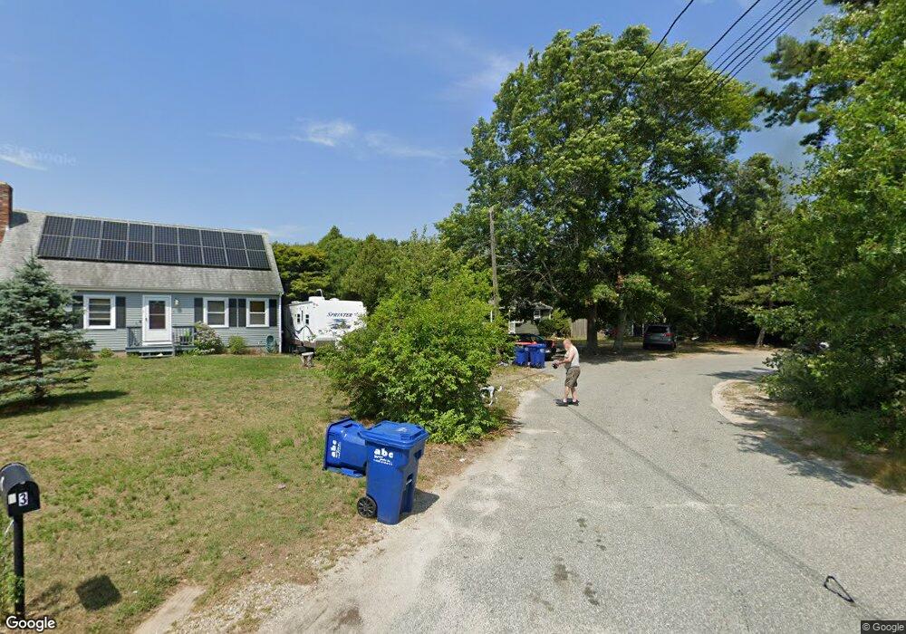
1 Pheasant Ave Wareham, MA 02571
Estimated Value: $390,000 - $471,000
2
Beds
1
Bath
1,050
Sq Ft
$413/Sq Ft
Est. Value
About This Home
This home is located at 1 Pheasant Ave, Wareham, MA 02571 and is currently estimated at $433,626, approximately $412 per square foot. 1 Pheasant Ave is a home located in Plymouth County.
Ownership History
Date
Name
Owned For
Owner Type
Purchase Details
Closed on
May 1, 2002
Sold by
Coffey Robert A
Bought by
Demarco Paul and Demarco Angela
Current Estimated Value
Purchase Details
Closed on
May 26, 1999
Sold by
Est Anacki Mary and Anacki Daniel W
Bought by
Coffey Robert A
Create a Home Valuation Report for This Property
The Home Valuation Report is an in-depth analysis detailing your home's value as well as a comparison with similar homes in the area
Purchase History
| Date | Buyer | Sale Price | Title Company |
|---|---|---|---|
| Demarco Paul | $155,500 | -- | |
| Coffey Robert A | $98,500 | -- | |
| Coffey Robert A | $98,500 | -- |
Source: Public Records
Mortgage History
| Date | Status | Borrower | Loan Amount |
|---|---|---|---|
| Open | Coffey Robert A | $238,500 | |
| Closed | Coffey Robert A | $230,900 |
Source: Public Records
Tax History
| Year | Tax Paid | Tax Assessment Tax Assessment Total Assessment is a certain percentage of the fair market value that is determined by local assessors to be the total taxable value of land and additions on the property. | Land | Improvement |
|---|---|---|---|---|
| 2025 | $3,847 | $369,200 | $110,300 | $258,900 |
| 2024 | $3,759 | $334,700 | $86,400 | $248,300 |
| 2023 | $3,378 | $299,600 | $78,500 | $221,100 |
| 2022 | $3,378 | $256,300 | $78,500 | $177,800 |
| 2021 | $3,338 | $248,200 | $78,500 | $169,700 |
| 2020 | $3,112 | $234,700 | $78,500 | $156,200 |
| 2019 | $2,996 | $225,400 | $76,100 | $149,300 |
| 2018 | $2,819 | $206,800 | $76,100 | $130,700 |
| 2017 | $2,664 | $198,100 | $76,100 | $122,000 |
| 2016 | $2,430 | $179,600 | $74,200 | $105,400 |
| 2015 | $2,347 | $179,600 | $74,200 | $105,400 |
| 2014 | $2,155 | $167,700 | $70,500 | $97,200 |
Source: Public Records
Map
Nearby Homes
- 2711 Cranberry Hwy
- 2697 Cranberry Hwy Unit 23
- 7 Spring Ave Unit 7
- 2645 Cranberry Hwy Unit A
- 156 Sandwich Rd
- 103 Kimberly Ct
- 2783 Cranberry Hwy
- 2614 Cranberry Hwy
- 25 Linwood Ave
- 1 Indian Neck Rd
- 110 Mayflower Ridge Dr
- 55 Minot Ave Unit 55
- 10 Oak St
- 0 Charge Pond Rd
- 437 Main St
- 2838 Cranberry Hwy
- 124 Minot Ave Unit 1
- 7 Knowles Ave
- 9 Old Glen Charlie Rd
- 91 Agawam Lake Shore Dr
- 3 Pheasant Ave
- 0 Sandusky Dr Unit U-C1
- 5 Pheasant Ave Unit 1/A
- 5 Pheasant Ave
- 5 Pheasant Ave Unit 4
- 5 Pheasant Ave Unit 3
- 5 Pheasant Ave Unit 2
- 5 Pheasant Ave Unit 1
- 5 Pheasant Ave Unit 3
- 5 Pheasant Ave Unit 4
- 5 Pheasant Ave Unit 3
- 5 Pheasant Ave Unit 1
- 5 Pheasant Ave Unit 5
- 2701 Cranberry Hwy
- 2701 Cranberry Hwy
- 4 Pheasant Ave
- 2 Pheasant Ave
- 23 Whipoorwill Way
- 32 Sandusky Dr
- 2697 Cranberry Hwy Unit 9
Your Personal Tour Guide
Ask me questions while you tour the home.