1 Point Rd Gloucester, MA 01930
West Gloucester NeighborhoodEstimated Value: $2,006,528 - $3,001,000
3
Beds
3
Baths
2,326
Sq Ft
$998/Sq Ft
Est. Value
About This Home
This home is located at 1 Point Rd, Gloucester, MA 01930 and is currently estimated at $2,321,382, approximately $998 per square foot. 1 Point Rd is a home located in Essex County with nearby schools including West Parish, Ralph B O'maley Middle School, and Gloucester High School.
Ownership History
Date
Name
Owned For
Owner Type
Purchase Details
Closed on
Nov 28, 2023
Sold by
Goldstein Sheila A
Bought by
1 Point Road Rt and Goldstein
Current Estimated Value
Purchase Details
Closed on
Jun 15, 1990
Sold by
Glasshoffer Marshall H
Bought by
Mccauley Roy G K
Home Financials for this Owner
Home Financials are based on the most recent Mortgage that was taken out on this home.
Original Mortgage
$483,750
Interest Rate
10.54%
Mortgage Type
Purchase Money Mortgage
Purchase Details
Closed on
Aug 1, 1979
Bought by
Goldstein Sheila A
Create a Home Valuation Report for This Property
The Home Valuation Report is an in-depth analysis detailing your home's value as well as a comparison with similar homes in the area
Home Values in the Area
Average Home Value in this Area
Purchase History
| Date | Buyer | Sale Price | Title Company |
|---|---|---|---|
| 1 Point Road Rt | -- | None Available | |
| Mccauley Roy G K | $537,500 | -- | |
| Goldstein Sheila A | $60,000 | -- |
Source: Public Records
Mortgage History
| Date | Status | Borrower | Loan Amount |
|---|---|---|---|
| Previous Owner | Goldstein Sheila A | $157,500 | |
| Previous Owner | Goldstein Sheila A | $480,000 | |
| Previous Owner | Goldstein Sheila A | $2,475,000 | |
| Previous Owner | Goldstein Sheila A | $483,750 |
Source: Public Records
Tax History
| Year | Tax Paid | Tax Assessment Tax Assessment Total Assessment is a certain percentage of the fair market value that is determined by local assessors to be the total taxable value of land and additions on the property. | Land | Improvement |
|---|---|---|---|---|
| 2025 | $15,949 | $1,640,800 | $996,900 | $643,900 |
| 2024 | $15,504 | $1,593,400 | $949,500 | $643,900 |
| 2023 | $14,534 | $1,372,400 | $810,000 | $562,400 |
| 2022 | $12,837 | $1,094,400 | $601,900 | $492,500 |
| 2021 | $12,382 | $995,300 | $547,000 | $448,300 |
| 2020 | $12,332 | $1,000,200 | $547,000 | $453,200 |
| 2019 | $11,858 | $934,400 | $521,600 | $412,800 |
| 2018 | $11,549 | $893,200 | $508,800 | $384,400 |
| 2017 | $11,200 | $849,100 | $484,600 | $364,500 |
| 2016 | $10,823 | $795,200 | $463,700 | $331,500 |
| 2015 | $10,349 | $758,200 | $453,200 | $305,000 |
Source: Public Records
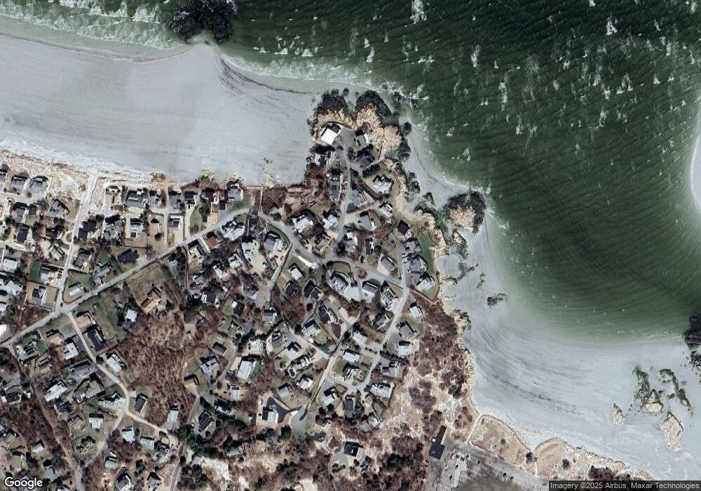
Map
Nearby Homes
- 226 Atlantic St
- 178 Atlantic St
- 167 Atlantic St
- 2 Breezy Point Rd
- 672 Washington St
- 13 Honeysuckle Rd
- 3 Deacon Farm Ln
- 7 Colburn St
- 31 Echo Ave
- 1030 Washington St
- 43 High St Unit B
- 7 Leaman Dr
- 10 Emerald St
- 13 Mystic Ave
- 8 Mystic Ave
- 5 Samoset Rd Unit B
- 6 Monroe Ct
- 98 Maplewood Ave
- 145 Essex Ave Unit 402
- 24 Cobblestone Ln Unit 603
Your Personal Tour Guide
Ask me questions while you tour the home.