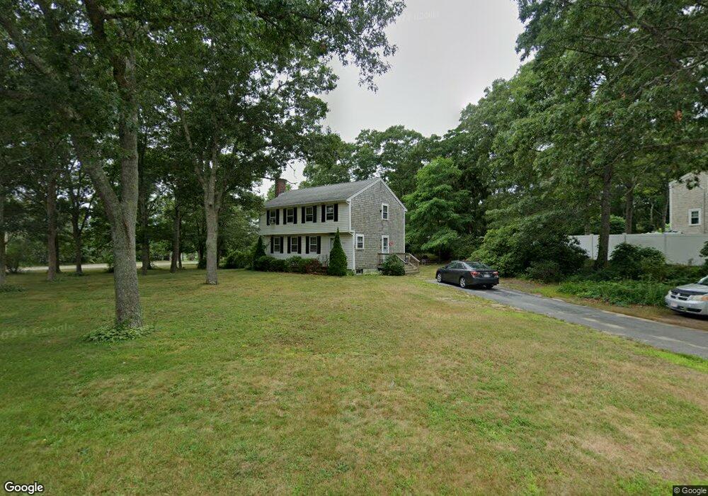
1 Portside Dr Pocasset, MA 02559
Pocasset NeighborhoodEstimated Value: $554,000 - $693,000
4
Beds
2
Baths
1,501
Sq Ft
$405/Sq Ft
Est. Value
About This Home
This home is located at 1 Portside Dr, Pocasset, MA 02559 and is currently estimated at $608,458, approximately $405 per square foot. 1 Portside Dr is a home located in Barnstable County with nearby schools including Bourne High School, Cadence Academy Preschool - Bourne, and St Margaret Regional School.
Ownership History
Date
Name
Owned For
Owner Type
Purchase Details
Closed on
Jun 26, 1998
Sold by
Jacobson Henry C and Jacobson Marya
Bought by
Rucker George C and Rucker Patricia A
Current Estimated Value
Home Financials for this Owner
Home Financials are based on the most recent Mortgage that was taken out on this home.
Original Mortgage
$127,300
Outstanding Balance
$24,852
Interest Rate
7.09%
Mortgage Type
Purchase Money Mortgage
Estimated Equity
$583,606
Create a Home Valuation Report for This Property
The Home Valuation Report is an in-depth analysis detailing your home's value as well as a comparison with similar homes in the area
Home Values in the Area
Average Home Value in this Area
Purchase History
| Date | Buyer | Sale Price | Title Company |
|---|---|---|---|
| Rucker George C | $134,000 | -- | |
| Rucker George C | $134,000 | -- |
Source: Public Records
Mortgage History
| Date | Status | Borrower | Loan Amount |
|---|---|---|---|
| Open | Rucker George C | $127,300 | |
| Closed | Rucker George C | $127,300 |
Source: Public Records
Tax History Compared to Growth
Tax History
| Year | Tax Paid | Tax Assessment Tax Assessment Total Assessment is a certain percentage of the fair market value that is determined by local assessors to be the total taxable value of land and additions on the property. | Land | Improvement |
|---|---|---|---|---|
| 2025 | $3,714 | $475,500 | $194,700 | $280,800 |
| 2024 | $3,635 | $453,300 | $185,400 | $267,900 |
| 2023 | $3,535 | $401,200 | $164,100 | $237,100 |
| 2022 | $3,364 | $333,400 | $145,200 | $188,200 |
| 2021 | $3,269 | $303,500 | $132,200 | $171,300 |
| 2020 | $3,167 | $294,900 | $130,900 | $164,000 |
| 2019 | $3,002 | $285,600 | $130,900 | $154,700 |
| 2018 | $2,868 | $272,100 | $124,700 | $147,400 |
| 2017 | $2,581 | $250,600 | $123,500 | $127,100 |
| 2016 | $2,459 | $242,000 | $117,300 | $124,700 |
| 2015 | $2,437 | $242,000 | $117,300 | $124,700 |
Source: Public Records
Map
Nearby Homes
- 7 Portside Dr
- 15 1st St
- 7 4th Ave
- 174 Barlows Landing Rd
- 709 County Rd
- 940 County Rd
- 39 Bennets Neck Dr
- 254 Barlows Landing Rd
- 16 Tara Terrace
- 940 County Rd
- 515 County Rd
- 93 Valley Bars Rd
- 501 County Rd
- 30 Howard Ave
- 112 Clay Pond Rd
- 2 Westerly Dr
- 105 Clay Pond Rd
- 14 Navajo Rd
- 440 County Rd
- 566 Shore Rd
- 3 Portside Dr
- 76 Barlows Landing Rd
- 2 Portside Dr
- 4 Pryer Dr
- 4 Portside Dr
- 5 Portside Dr
- 6 Pryer Dr
- 6 Portside Dr
- 56 Barlows Landing Rd
- 1 Pryer Dr
- 1 Pryer Dr (Year Round)
- 79 Barlows Landing Rd
- 8 Pryer Dr
- 4 Schooner Ln
- 69 Barlows Landing Rd
- 50 Barlows Landing Rd
- 1 Schooner Ln
- 90 Barlows Landing Rd
- 61 Barlows Landing Rd
- 9 Portside Dr