1 Quail Ridge Weston, CT 06883
Estimated Value: $1,782,000 - $2,991,000
5
Beds
6
Baths
4,970
Sq Ft
$439/Sq Ft
Est. Value
About This Home
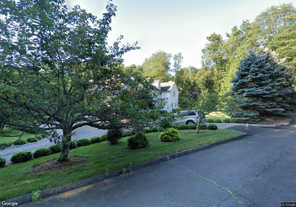
This home is located at 1 Quail Ridge, Weston, CT 06883 and is currently estimated at $2,183,775, approximately $439 per square foot. 1 Quail Ridge is a home located in Fairfield County with nearby schools including Hurlbutt Elementary School, Weston Intermediate School, and Weston Middle School.
Ownership History
Date
Name
Owned For
Owner Type
Purchase Details
Closed on
May 17, 2002
Sold by
Gilbertie Michael
Bought by
Venkataraman Shanta
Current Estimated Value
Home Financials for this Owner
Home Financials are based on the most recent Mortgage that was taken out on this home.
Original Mortgage
$1,027,500
Interest Rate
6.5%
Create a Home Valuation Report for This Property
The Home Valuation Report is an in-depth analysis detailing your home's value as well as a comparison with similar homes in the area
Home Values in the Area
Average Home Value in this Area
Purchase History
| Date | Buyer | Sale Price | Title Company |
|---|---|---|---|
| Venkataraman Shanta | $1,552,000 | -- |
Source: Public Records
Mortgage History
| Date | Status | Borrower | Loan Amount |
|---|---|---|---|
| Open | Venkataraman Shanta | $999,000 | |
| Closed | Venkataraman Shanta | $1,027,500 |
Source: Public Records
Tax History
| Year | Tax Paid | Tax Assessment Tax Assessment Total Assessment is a certain percentage of the fair market value that is determined by local assessors to be the total taxable value of land and additions on the property. | Land | Improvement |
|---|---|---|---|---|
| 2025 | $28,028 | $1,172,710 | $220,780 | $951,930 |
| 2024 | $27,524 | $1,172,710 | $220,780 | $951,930 |
| 2023 | $26,422 | $799,220 | $220,780 | $578,440 |
| 2022 | $26,350 | $799,220 | $220,780 | $578,440 |
| 2021 | $866 | $799,220 | $220,780 | $578,440 |
| 2020 | $25,871 | $799,220 | $220,780 | $578,440 |
| 2019 | $25,871 | $799,220 | $220,780 | $578,440 |
| 2018 | $25,337 | $862,100 | $248,100 | $614,000 |
| 2017 | $24,923 | $862,100 | $248,100 | $614,000 |
| 2016 | $24,622 | $862,100 | $248,100 | $614,000 |
| 2015 | $24,794 | $862,100 | $248,100 | $614,000 |
| 2014 | $24,346 | $862,100 | $248,100 | $614,000 |
Source: Public Records
Map
Nearby Homes
- 41 Calvin Rd
- 30 Lords Hwy
- 14 Langner Ln
- 76 Sturges Ridge Rd
- 4 Trails End Rd
- 55 Liberty St
- 15 Mountain View Dr
- 76 Lords Hwy
- 28 Old Orchard Dr
- 12 Godfrey Rd W
- 35 Joanne Ln
- 214 Good Hill Rd
- 290 Newtown Turnpike
- 39 Tannery Ln S
- 475 Danbury Rd
- 25 Powder Horn Hill Rd
- 110 Dudley Rd
- 93 E Meadow Rd
- 4 Good Hill Rd
- 136 Lyons Plain Rd
- 9 Calvin Rd
- 2 Quail Ridge
- 3 Quail Ridge
- 13 Calvin Rd
- 392 Georgetown Rd
- 395 Georgetown Rd
- 380 Georgetown Rd
- 5 Quail Ridge
- 4 Quail Ridge
- 19 Calvin Rd
- 8 Hillside Rd S
- 6 Calvin Rd
- 14 Hillside Rd S
- 376 Georgetown Rd
- 4 Little Fox Ln
- 2 Little Fox Ln
- 379 Georgetown Rd
- 372 Georgetown Rd
- 1 Old Mill Rd
- 15 N Calvin Rd
Your Personal Tour Guide
Ask me questions while you tour the home.