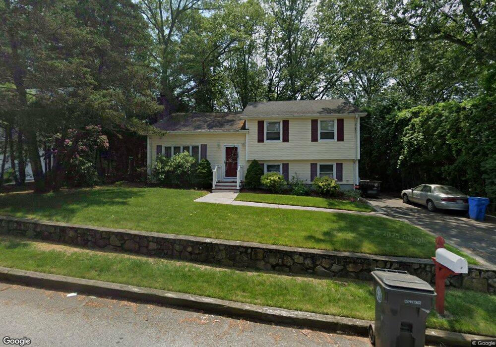
1 Rutland St Cranston, RI 02920
Budlong NeighborhoodEstimated Value: $307,000 - $546,000
3
Beds
2
Baths
1,113
Sq Ft
$374/Sq Ft
Est. Value
About This Home
This home is located at 1 Rutland St, Cranston, RI 02920 and is currently estimated at $416,390, approximately $374 per square foot. 1 Rutland St is a home located in Providence County with nearby schools including Woodridge Elementary School, Western Hills Middle School, and Cranston High School West.
Ownership History
Date
Name
Owned For
Owner Type
Purchase Details
Closed on
Jul 31, 2025
Sold by
Smith T T and Smith Carlson
Bought by
Anika Robert W and Anika Cheryl A
Current Estimated Value
Home Financials for this Owner
Home Financials are based on the most recent Mortgage that was taken out on this home.
Original Mortgage
$294,566
Outstanding Balance
$293,810
Interest Rate
6.81%
Mortgage Type
FHA
Estimated Equity
$122,580
Purchase Details
Closed on
Jun 19, 1996
Sold by
Bazzigalupi Paula C
Bought by
Smith Morrill F and Smith Mary
Home Financials for this Owner
Home Financials are based on the most recent Mortgage that was taken out on this home.
Original Mortgage
$96,000
Interest Rate
8.21%
Mortgage Type
Purchase Money Mortgage
Create a Home Valuation Report for This Property
The Home Valuation Report is an in-depth analysis detailing your home's value as well as a comparison with similar homes in the area
Home Values in the Area
Average Home Value in this Area
Purchase History
| Date | Buyer | Sale Price | Title Company |
|---|---|---|---|
| Anika Robert W | $300,000 | -- | |
| Anika Robert W | $300,000 | -- | |
| Smith Morrill F | $120,000 | -- | |
| Smith Morrill F | $120,000 | -- |
Source: Public Records
Mortgage History
| Date | Status | Borrower | Loan Amount |
|---|---|---|---|
| Open | Anika Robert W | $294,566 | |
| Closed | Anika Robert W | $294,566 | |
| Previous Owner | Smith Morrill F | $96,000 | |
| Previous Owner | Smith Morrill F | $96,000 |
Source: Public Records
Tax History Compared to Growth
Tax History
| Year | Tax Paid | Tax Assessment Tax Assessment Total Assessment is a certain percentage of the fair market value that is determined by local assessors to be the total taxable value of land and additions on the property. | Land | Improvement |
|---|---|---|---|---|
| 2025 | $5,480 | $394,800 | $107,400 | $287,400 |
| 2024 | $5,373 | $394,800 | $107,400 | $287,400 |
| 2023 | $5,496 | $290,800 | $74,100 | $216,700 |
| 2022 | $5,383 | $290,800 | $74,100 | $216,700 |
| 2021 | $5,234 | $290,800 | $74,100 | $216,700 |
| 2020 | $5,220 | $251,300 | $77,600 | $173,700 |
| 2019 | $5,220 | $251,300 | $77,600 | $173,700 |
| 2018 | $5,099 | $251,300 | $77,600 | $173,700 |
| 2017 | $5,251 | $228,900 | $70,600 | $158,300 |
| 2016 | $5,139 | $228,900 | $70,600 | $158,300 |
| 2015 | $5,139 | $228,900 | $70,600 | $158,300 |
| 2014 | $4,869 | $213,200 | $70,600 | $142,600 |
Source: Public Records
Map
Nearby Homes
- 210 Hyde St
- 69 W View Ave
- 99 Salem Ave
- 0 Rutland St
- 21 Charles St
- 71 Norton Ave
- 34 Aldrich Ave
- 80 Phenix Ave
- 111 Belgium St
- 141 Glen Ridge Rd
- 46 Lilyana Way
- 446 Budlong Rd
- 1455 Park Ave Unit 3
- 333 Phenix Ave
- 56 Scituate Ave
- 0 Phenix Ave Unit 1384514
- 54 Randall St
- 10 Sheffield Rd
- 86 Sherwood St
- 275 Meshanticut Valley Pkwy