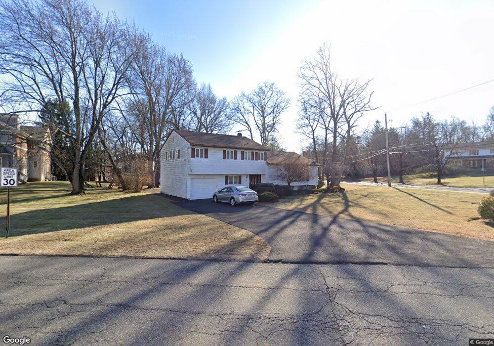
1 Sands Point Rd Monsey, NY 10952
Estimated Value: $1,295,000 - $1,587,000
4
Beds
3
Baths
2,639
Sq Ft
$538/Sq Ft
Est. Value
About This Home
This home is located at 1 Sands Point Rd, Monsey, NY 10952 and is currently estimated at $1,418,795, approximately $537 per square foot. 1 Sands Point Rd is a home located in Rockland County with nearby schools including Grandview Elementary School, Pomona Middle School, and Ramapo High School.
Ownership History
Date
Name
Owned For
Owner Type
Purchase Details
Closed on
May 27, 2021
Sold by
Winter Rothenberg Rebecca
Bought by
Winter Rothenberg Trust
Current Estimated Value
Purchase Details
Closed on
May 26, 2021
Sold by
Bunim 2011 Trust
Bought by
Winter Rothenberg Rebecca
Purchase Details
Closed on
Aug 26, 2016
Sold by
Yurman Beth
Bought by
Bunim 2011 Family Trust and Siletski Mark M
Create a Home Valuation Report for This Property
The Home Valuation Report is an in-depth analysis detailing your home's value as well as a comparison with similar homes in the area
Home Values in the Area
Average Home Value in this Area
Purchase History
| Date | Buyer | Sale Price | Title Company |
|---|---|---|---|
| Winter Rothenberg Trust | -- | None Available | |
| Winter Rothenberg Rebecca | -- | None Available | |
| Bunim 2011 Family Trust | $770,000 | Land Track Title |
Source: Public Records
Tax History Compared to Growth
Tax History
| Year | Tax Paid | Tax Assessment Tax Assessment Total Assessment is a certain percentage of the fair market value that is determined by local assessors to be the total taxable value of land and additions on the property. | Land | Improvement |
|---|---|---|---|---|
| 2024 | $16,788 | $69,100 | $15,800 | $53,300 |
| 2023 | $16,788 | $69,100 | $15,800 | $53,300 |
| 2022 | $16,060 | $69,100 | $15,800 | $53,300 |
| 2021 | $16,060 | $69,100 | $15,800 | $53,300 |
| 2020 | $16,454 | $69,100 | $15,800 | $53,300 |
| 2019 | $16,815 | $69,100 | $15,800 | $53,300 |
| 2018 | $16,815 | $69,100 | $15,800 | $53,300 |
| 2017 | $16,585 | $69,100 | $15,800 | $53,300 |
| 2016 | $15,408 | $69,100 | $15,800 | $53,300 |
| 2015 | -- | $69,100 | $15,800 | $53,300 |
| 2014 | -- | $69,100 | $15,800 | $53,300 |
Source: Public Records
Map
Nearby Homes
- 25 Smolley Dr
- 14 Calvert Dr Unit 102
- 29 Calvert Dr Unit 115
- 24 Waverly Place
- 12 Cloverdale Ln
- 7 Bartlett Rd
- 40 Calvert Dr
- 15 Concord Dr
- 5 Hillel Ct
- 2 Wiener Dr Unit 101
- 352 Blauvelt Rd Unit 202
- 33 Briarcliff Dr
- 12 Concord Dr
- 169 Route 306 Unit 101
- 151 Blauvelt Rd Unit 116
- 141 Blauvelt Rd Unit 103
- 93 College Rd
- 219 Kearsing Pkwy Unit C
- 156 Kearsing Pkwy Unit 156
- 210 Kearsing Pkwy Unit A
- 134 W Maple Ave
- 3 Sands Point Rd
- 2 Sands Point Rd
- 4 Sands Point Rd
- 132 W Maple Ave
- 5 Sands Point Rd
- 1 Miriam Ln
- 6 Sands Point Rd
- 2 Miriam Ln
- 130 W Maple Ave
- 7 Sands Point Rd
- 2 Calvert Dr
- 1 Calvert Dr
- 137 W Maple Ave
- 131 W Maple Ave
- 128 W Maple Ave
- 9 Sands Point Rd
- 4 Calvert Dr
- 3 Miriam Ln
- 3 Calvert Dr