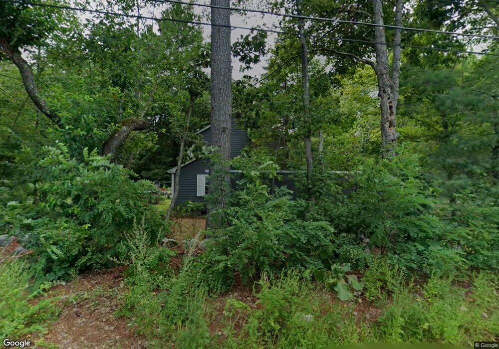
1 Saunders Rd West Townsend, MA 01474
Estimated Value: $375,000 - $484,000
3
Beds
2
Baths
1,736
Sq Ft
$251/Sq Ft
Est. Value
About This Home
This home is located at 1 Saunders Rd, West Townsend, MA 01474 and is currently estimated at $435,664, approximately $250 per square foot. 1 Saunders Rd is a home located in Middlesex County with nearby schools including North Middlesex Regional High School.
Create a Home Valuation Report for This Property
The Home Valuation Report is an in-depth analysis detailing your home's value as well as a comparison with similar homes in the area
Home Values in the Area
Average Home Value in this Area
Tax History Compared to Growth
Tax History
| Year | Tax Paid | Tax Assessment Tax Assessment Total Assessment is a certain percentage of the fair market value that is determined by local assessors to be the total taxable value of land and additions on the property. | Land | Improvement |
|---|---|---|---|---|
| 2025 | $5,401 | $372,000 | $93,400 | $278,600 |
| 2024 | $5,258 | $364,900 | $93,400 | $271,500 |
| 2023 | $5,324 | $348,900 | $84,900 | $264,000 |
| 2022 | $5,026 | $285,400 | $73,900 | $211,500 |
| 2021 | $4,872 | $265,800 | $73,100 | $192,700 |
| 2020 | $4,722 | $241,900 | $65,000 | $176,900 |
| 2019 | $4,649 | $240,500 | $65,000 | $175,500 |
| 2018 | $4,421 | $218,200 | $65,000 | $153,200 |
| 2017 | $4,150 | $211,000 | $69,200 | $141,800 |
| 2016 | $4,010 | $202,500 | $69,200 | $133,300 |
| 2015 | $3,874 | $202,700 | $72,200 | $130,500 |
| 2014 | $3,709 | $189,500 | $65,000 | $124,500 |
Source: Public Records
Map
Nearby Homes
- 11 Fox Run
- 114 Blood Rd
- 18 Bridle Path
- 86 W Elm Lunenburg Rd Blood Rd
- 91 Lunenburg Rd
- 20 Bayberry Hill Rd
- 1 Depot Street Extension Unit 2
- 1 Depot Street Extension Unit 5
- 1 Depot Street Extension Unit 3
- 1 Depot Street Extension Unit 4
- 53 W Meadow Rd
- 10 Stearns Ave
- 30 Bailey Rd
- 75 Highland St
- 91 Highland St
- 0 Brookline St
- 1235 Townsend Rd
- 2 Tamarack Ln
- 64 Meadow Rd
- 144 Main St