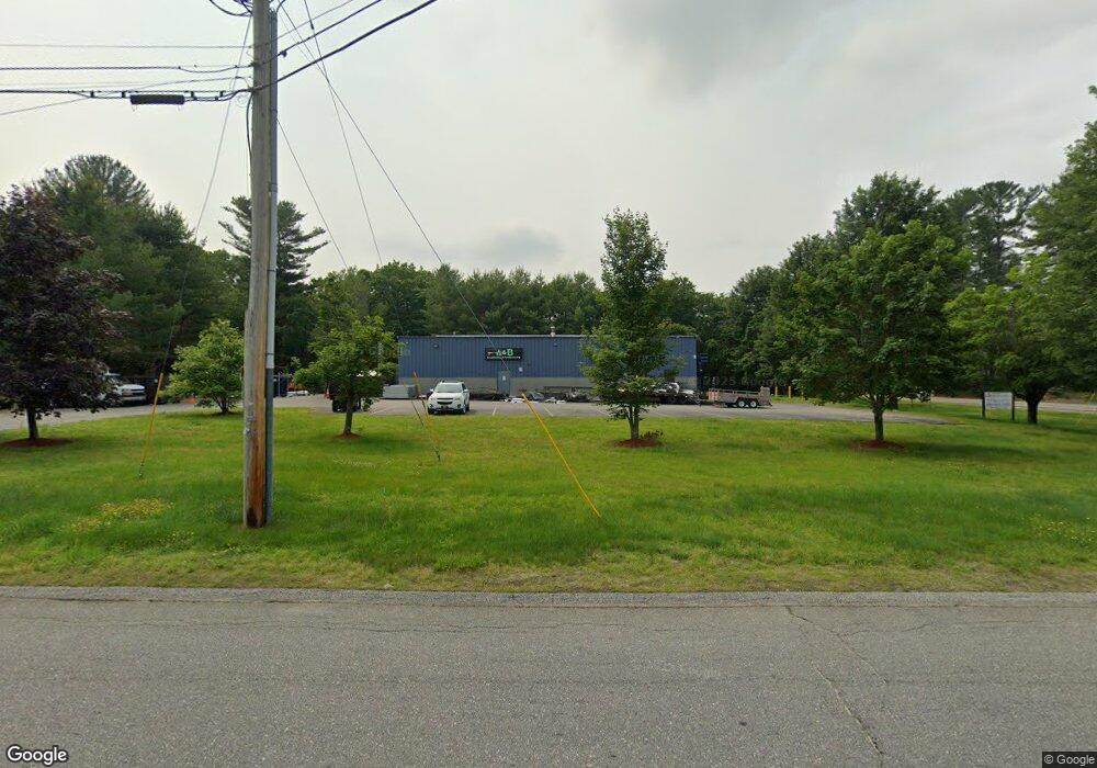
1 Security Dr Hudson, NH 03051
Estimated Value: $1,107,068
Studio
1
Bath
8,000
Sq Ft
$138/Sq Ft
Est. Value
About This Home
This home is located at 1 Security Dr, Hudson, NH 03051 and is currently estimated at $1,107,068, approximately $138 per square foot. 1 Security Dr is a home located in Hillsborough County with nearby schools including Nottingham West Elementary School, Hudson Memorial School, and Alvirne High School.
Ownership History
Date
Name
Owned For
Owner Type
Purchase Details
Closed on
Jun 14, 2023
Sold by
One Security Drive Llc
Bought by
1 Security Dr Hudson Llc
Current Estimated Value
Home Financials for this Owner
Home Financials are based on the most recent Mortgage that was taken out on this home.
Original Mortgage
$800,000
Outstanding Balance
$775,170
Interest Rate
6.39%
Mortgage Type
Purchase Money Mortgage
Estimated Equity
$331,898
Create a Home Valuation Report for This Property
The Home Valuation Report is an in-depth analysis detailing your home's value as well as a comparison with similar homes in the area
Home Values in the Area
Average Home Value in this Area
Purchase History
| Date | Buyer | Sale Price | Title Company |
|---|---|---|---|
| 1 Security Dr Hudson Llc | $1,000,000 | None Available |
Source: Public Records
Mortgage History
| Date | Status | Borrower | Loan Amount |
|---|---|---|---|
| Open | 1 Security Dr Hudson Llc | $800,000 |
Source: Public Records
Tax History
| Year | Tax Paid | Tax Assessment Tax Assessment Total Assessment is a certain percentage of the fair market value that is determined by local assessors to be the total taxable value of land and additions on the property. | Land | Improvement |
|---|---|---|---|---|
| 2025 | $13,252 | $774,500 | $265,900 | $508,600 |
| 2024 | $12,741 | $774,500 | $265,900 | $508,600 |
| 2023 | $10,782 | $687,600 | $265,900 | $421,700 |
| 2022 | $10,101 | $687,600 | $265,900 | $421,700 |
| 2021 | $13,630 | $629,000 | $204,200 | $424,800 |
| 2020 | $13,442 | $629,000 | $204,200 | $424,800 |
| 2019 | $12,776 | $630,000 | $204,200 | $425,800 |
| 2018 | $12,663 | $630,000 | $204,200 | $425,800 |
| 2017 | $12,424 | $630,000 | $204,200 | $425,800 |
| 2016 | $12,160 | $553,500 | $153,200 | $400,300 |
| 2015 | $11,762 | $553,500 | $153,200 | $400,300 |
| 2014 | $11,529 | $553,500 | $153,200 | $400,300 |
| 2013 | $11,374 | $553,200 | $153,200 | $400,000 |
Source: Public Records
Map
Nearby Homes
- 26 Eayers Pond Rd
- 103 Pondview Place Unit 103
- 33 Spit Brook Rd Unit A-2
- 75 Frost Rd
- 56 Frost Rd
- 2 Strawberry Bank Rd Unit 17
- 4 Heritage Village Dr
- 104 Long Pond Rd
- 18 Ridgecrest Dr
- 3 Black Oak Dr Unit C
- 30 Tamarack Way Unit 30
- 27 Beech St
- 22 Juniper Ln Unit 66
- 4 Mascuppic Trail
- 28 Juniper Ln Unit 65
- 11 Juniper Ln Unit 14
- 14 Centercrest Dr Unit 14
- 1 Elm Grove Ave
- 1 E Hobart St
- 2 Aspen Dr
- 1 Walker Rd
- 81 River Rd
- 3 Walker Rd
- 2 Winslow Farm Rd
- 95 River Rd
- 10 Winslow Farm Rd
- 77 River Rd
- 1 Winslow Farm Rd
- 97R River Rd
- 12 Winslow Farm Rd
- 97 River Rd
- 8 Security Dr Unit 8
- 8 Security Dr
- 14 Winslow Farm Rd
- 9 Winslow Farm Rd
- 198 Frost Rd
- 16 Winslow Farm Rd
- 11 Winslow Farm Rd
- 206 Frost Rd
- 194 Frost Rd
Your Personal Tour Guide
Ask me questions while you tour the home.