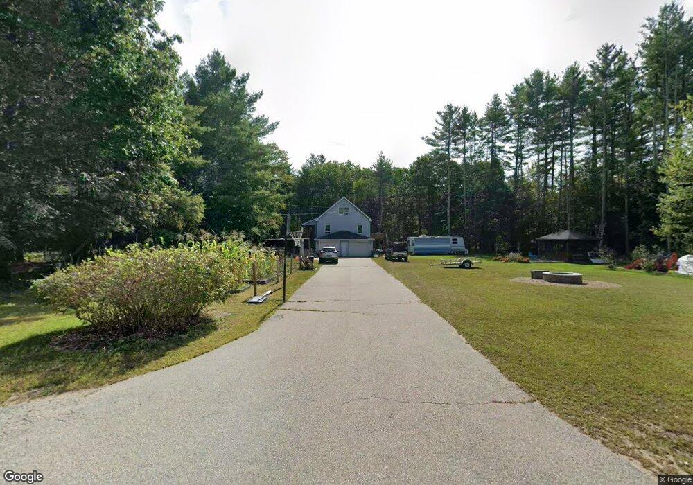
1 Shattuck Ln Brookline, NH 03033
Estimated Value: $477,000 - $532,000
3
Beds
2
Baths
1,821
Sq Ft
$276/Sq Ft
Est. Value
About This Home
This home is located at 1 Shattuck Ln, Brookline, NH 03033 and is currently estimated at $502,167, approximately $275 per square foot. 1 Shattuck Ln is a home with nearby schools including Richard Maghakian Memorial School, Captain Samuel Douglass Academy, and Hollis-Brookline Middle School.
Ownership History
Date
Name
Owned For
Owner Type
Purchase Details
Closed on
Mar 27, 1998
Sold by
Vaughan Thomas F and Vaughan Jana J
Bought by
Lasalle Michael D and Lasalle Elisabeth A
Current Estimated Value
Home Financials for this Owner
Home Financials are based on the most recent Mortgage that was taken out on this home.
Original Mortgage
$50,000
Outstanding Balance
$9,375
Interest Rate
6.96%
Estimated Equity
$492,792
Create a Home Valuation Report for This Property
The Home Valuation Report is an in-depth analysis detailing your home's value as well as a comparison with similar homes in the area
Home Values in the Area
Average Home Value in this Area
Purchase History
| Date | Buyer | Sale Price | Title Company |
|---|---|---|---|
| Lasalle Michael D | $128,000 | -- |
Source: Public Records
Mortgage History
| Date | Status | Borrower | Loan Amount |
|---|---|---|---|
| Open | Lasalle Michael D | $50,000 |
Source: Public Records
Tax History Compared to Growth
Tax History
| Year | Tax Paid | Tax Assessment Tax Assessment Total Assessment is a certain percentage of the fair market value that is determined by local assessors to be the total taxable value of land and additions on the property. | Land | Improvement |
|---|---|---|---|---|
| 2024 | $10,028 | $443,500 | $197,800 | $245,700 |
| 2023 | $9,216 | $443,500 | $197,800 | $245,700 |
| 2022 | $7,843 | $263,900 | $119,100 | $144,800 |
| 2021 | $7,542 | $263,900 | $119,100 | $144,800 |
| 2020 | $7,336 | $263,900 | $119,100 | $144,800 |
| 2019 | $7,883 | $263,900 | $119,100 | $144,800 |
| 2018 | $7,801 | $263,900 | $119,100 | $144,800 |
| 2017 | $6,733 | $204,400 | $89,300 | $115,100 |
| 2016 | $6,580 | $202,100 | $89,300 | $112,800 |
| 2015 | $6,275 | $202,100 | $89,300 | $112,800 |
| 2014 | $6,639 | $202,100 | $89,300 | $112,800 |
| 2013 | $6,392 | $202,100 | $89,300 | $112,800 |
Source: Public Records
Map
Nearby Homes
- 46 Oak Hill Rd
- 55 Oak Hill Rd
- 6 Flint Meadow Dr
- 6 High Oaks Path
- 21 Cranberry St
- 22 Hobart Hill Rd
- 143 Worcester Rd
- 179 Brookline St
- 22 Austin Ln
- 364 Townsend Hill Rd
- 15 N End Rd
- 28A Rocky Pond Rd
- 7 Winterberry Rd
- 10 Boynton St
- 9 Winterberry Rd
- 5 Carons Way
- 167 Route 13
- 110 Haynes Rd
- 0 Brookline St
- 93 Old Milford Rd