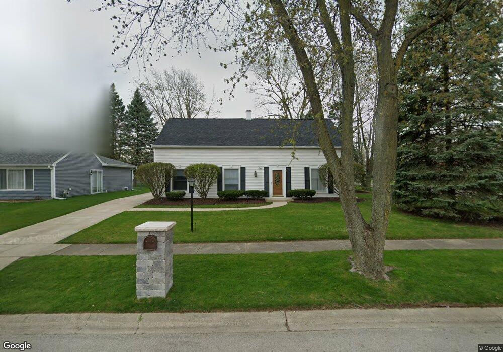
1 Shermead Rd Montgomery, IL 60538
Boulder Hill NeighborhoodEstimated Value: $324,944 - $335,000
4
Beds
2
Baths
1,656
Sq Ft
$199/Sq Ft
Est. Value
About This Home
This home is located at 1 Shermead Rd, Montgomery, IL 60538 and is currently estimated at $329,236, approximately $198 per square foot. 1 Shermead Rd is a home located in Kendall County with nearby schools including Long Beach Elementary School, Plank Junior High School, and Oswego East High School.
Ownership History
Date
Name
Owned For
Owner Type
Purchase Details
Closed on
Jun 22, 2017
Sold by
Freeman Rondal L and Freeman Patricia G
Bought by
Freeman Rondal L and Freeman Patricia G
Current Estimated Value
Create a Home Valuation Report for This Property
The Home Valuation Report is an in-depth analysis detailing your home's value as well as a comparison with similar homes in the area
Home Values in the Area
Average Home Value in this Area
Purchase History
| Date | Buyer | Sale Price | Title Company |
|---|---|---|---|
| Freeman Rondal L | -- | Attorney |
Source: Public Records
Tax History Compared to Growth
Tax History
| Year | Tax Paid | Tax Assessment Tax Assessment Total Assessment is a certain percentage of the fair market value that is determined by local assessors to be the total taxable value of land and additions on the property. | Land | Improvement |
|---|---|---|---|---|
| 2024 | $6,472 | $92,758 | $22,660 | $70,098 |
| 2023 | $5,896 | $83,565 | $20,414 | $63,151 |
| 2022 | $5,896 | $77,375 | $18,902 | $58,473 |
| 2021 | $5,583 | $71,644 | $17,502 | $54,142 |
| 2020 | $5,382 | $68,889 | $16,829 | $52,060 |
| 2019 | $5,289 | $66,983 | $16,829 | $50,154 |
| 2018 | $4,933 | $61,121 | $15,356 | $45,765 |
| 2017 | $4,578 | $56,333 | $14,153 | $42,180 |
| 2016 | $2,084 | $51,681 | $12,984 | $38,697 |
| 2015 | $1,981 | $47,853 | $12,022 | $35,831 |
| 2014 | -- | $46,013 | $11,560 | $34,453 |
| 2013 | -- | $48,434 | $12,168 | $36,266 |
Source: Public Records
Map
Nearby Homes
- 22 Marnel Rd
- 101 Red Fox Run
- 19 Wyndham Dr Unit 10
- 36 Circle Dr E
- 15 Crescent Ct
- 54 Sierra Rd
- 29 Briarcliff Rd
- 75 Briarcliff Rd
- 17 Knollwood Dr Unit 3
- 106 Braeburn Rd
- 114 Heathgate Rd
- 172 Boulder Hill Pass
- 4 Crestwood Ct
- 75 Pueblo Rd Unit 18
- 100 Long Beach Rd
- 124 Heathgate Rd
- 136 Heathgate Rd
- 122 Longbeach Rd
- 36 Fallcreek Cir Unit 35
- 1707 Deer Run Dr
- 3 Shermead Rd
- 25 Roulock Rd Unit 29
- 23 Pembrooke Rd
- 18 Roulock Rd
- 2 Shermead Rd Unit 29
- 20 Roulock Rd Unit 29
- 16 Roulock Rd
- 25 Pembrooke Rd
- 4 Shermead Rd
- 22 Roulock Rd Unit 29
- 7 Shermead Rd
- 14 Roulock Rd
- 6 Shermead Rd Unit 29
- 27 Pembrooke Rd
- 9 Shermead Rd
- 1 Ingleshire Rd
- 12 Roulock Rd
- 3 Ingleshire Rd
- 8 Shermead Rd
- 22 Pembrooke Rd