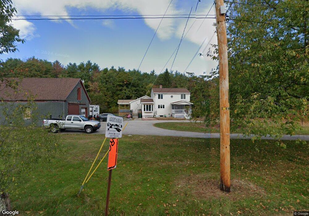
1 Simpson Rd Saco, ME 04072
North Saco NeighborhoodEstimated Value: $516,000 - $568,000
3
Beds
2
Baths
2,115
Sq Ft
$257/Sq Ft
Est. Value
About This Home
This home is located at 1 Simpson Rd, Saco, ME 04072 and is currently estimated at $542,837, approximately $256 per square foot. 1 Simpson Rd is a home located in York County with nearby schools including C K Burns School, Saco Middle School, and Florence Lombard Christian School.
Ownership History
Date
Name
Owned For
Owner Type
Purchase Details
Closed on
Feb 14, 2014
Sold by
Earnhardt Peter L and Earnhardt Marguerite A
Bought by
Earnhardt Joseph M and Earnhardt Tonya L
Current Estimated Value
Home Financials for this Owner
Home Financials are based on the most recent Mortgage that was taken out on this home.
Original Mortgage
$85,000
Interest Rate
4.52%
Mortgage Type
Unknown
Create a Home Valuation Report for This Property
The Home Valuation Report is an in-depth analysis detailing your home's value as well as a comparison with similar homes in the area
Home Values in the Area
Average Home Value in this Area
Purchase History
| Date | Buyer | Sale Price | Title Company |
|---|---|---|---|
| Earnhardt Joseph M | -- | -- |
Source: Public Records
Mortgage History
| Date | Status | Borrower | Loan Amount |
|---|---|---|---|
| Closed | Earnhardt Joseph M | $85,000 |
Source: Public Records
Tax History
| Year | Tax Paid | Tax Assessment Tax Assessment Total Assessment is a certain percentage of the fair market value that is determined by local assessors to be the total taxable value of land and additions on the property. | Land | Improvement |
|---|---|---|---|---|
| 2024 | $6,238 | $444,000 | $156,900 | $287,100 |
| 2023 | $6,598 | $447,300 | $156,900 | $290,400 |
| 2022 | $5,961 | $325,200 | $119,400 | $205,800 |
| 2021 | $5,740 | $304,000 | $108,100 | $195,900 |
| 2020 | $5,305 | $269,700 | $95,400 | $174,300 |
| 2019 | $5,227 | $269,700 | $95,400 | $174,300 |
| 2018 | $5,054 | $260,800 | $86,500 | $174,300 |
| 2017 | $4,921 | $253,900 | $79,500 | $174,400 |
| 2016 | $4,740 | $244,100 | $64,500 | $179,600 |
| 2015 | $3,492 | $181,700 | $63,200 | $118,500 |
| 2014 | $3,383 | $181,700 | $63,200 | $118,500 |
| 2013 | $3,376 | $181,700 | $63,200 | $118,500 |
Source: Public Records
Map
Nearby Homes
- 4 Primrose Ln
- 158 Lord Rd
- 9 Jada Dr
- 4 Blueberry Ave
- 5 Coltons Way
- 6 Amari Ct
- 15 Rotary Dr
- Lot 1 & 2 Memory Ln
- 143 Hollis Rd
- 4 June Ln
- 70 Beech Plains Rd
- 0 Beech Plains Rd
- 4 Spool St Unit 101
- 10 Jeffrey Ave
- 48 Hillview Ave
- 43 New County Rd
- TBD Cribble Cove Rd
- 8 Nottingham Dr
- 9 Nottingham Dr
- 48 Garfield St Unit 9
- 0 Simpson Rd
- 336 Buxton Rd
- 7 Simpson Rd
- 10 Simpson Rd
- 319 Buxton Rd
- Lot 1 Donna's Way Unit 101
- Lot 1 Donna's Way
- TBD Donna's Way
- 337 Buxton Rd
- 320 Buxton Rd
- 0 Sierra Woods Buxton
- Lot 0 Donna's Way
- 21 Simpson Rd
- 318 Buxton Rd
- Lot 2 Donna's Way
- 0 Donna's Way Unit 1590788
- 23 Simpson Rd
- 346 Buxton Rd
- Lot 22 Buxton Rd
- 309 Buxton Rd