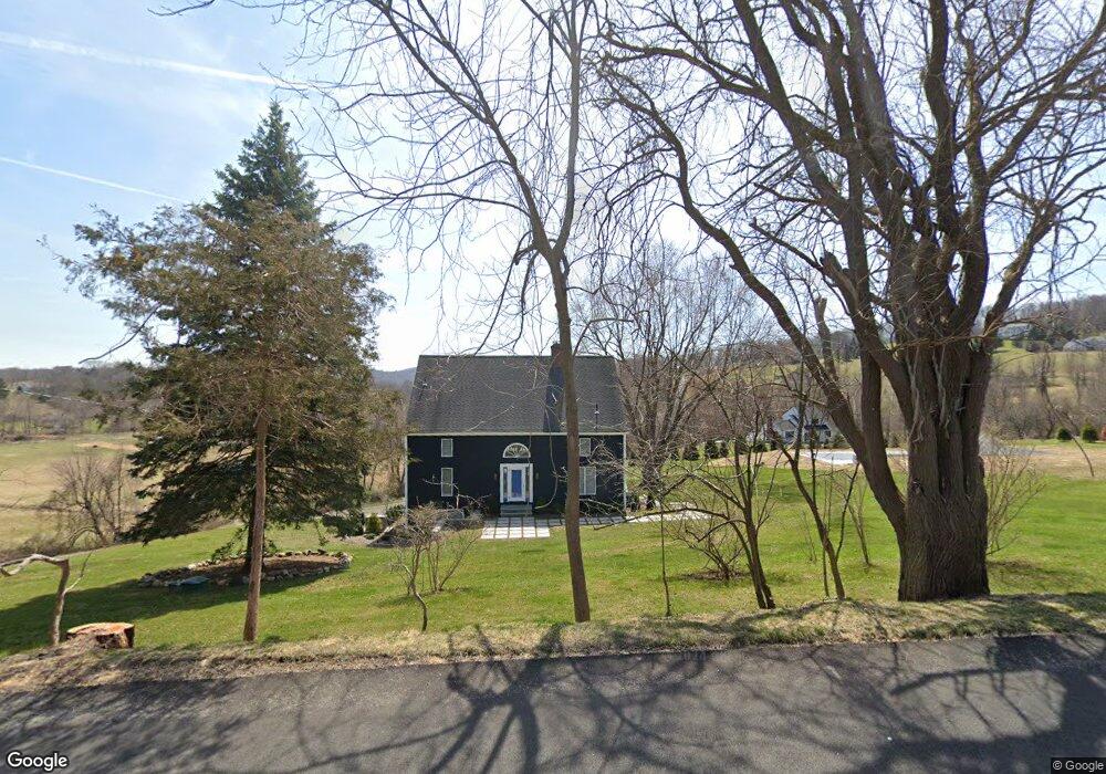
1 Taber Rd Sherman, CT 06784
Estimated Value: $720,188 - $1,087,000
3
Beds
3
Baths
3,066
Sq Ft
$286/Sq Ft
Est. Value
About This Home
This home is located at 1 Taber Rd, Sherman, CT 06784 and is currently estimated at $875,547, approximately $285 per square foot. 1 Taber Rd is a home located in Fairfield County with nearby schools including Sherman School.
Ownership History
Date
Name
Owned For
Owner Type
Purchase Details
Closed on
May 12, 2017
Sold by
Mohr John O and Mohr Elisabeth
Bought by
Grant Gregory R and Grant Sara J
Current Estimated Value
Home Financials for this Owner
Home Financials are based on the most recent Mortgage that was taken out on this home.
Original Mortgage
$380,000
Outstanding Balance
$315,609
Interest Rate
4.14%
Mortgage Type
Purchase Money Mortgage
Estimated Equity
$559,938
Create a Home Valuation Report for This Property
The Home Valuation Report is an in-depth analysis detailing your home's value as well as a comparison with similar homes in the area
Home Values in the Area
Average Home Value in this Area
Purchase History
| Date | Buyer | Sale Price | Title Company |
|---|---|---|---|
| Grant Gregory R | $475,000 | -- |
Source: Public Records
Mortgage History
| Date | Status | Borrower | Loan Amount |
|---|---|---|---|
| Open | Grant Gregory R | $380,000 |
Source: Public Records
Tax History Compared to Growth
Tax History
| Year | Tax Paid | Tax Assessment Tax Assessment Total Assessment is a certain percentage of the fair market value that is determined by local assessors to be the total taxable value of land and additions on the property. | Land | Improvement |
|---|---|---|---|---|
| 2025 | $5,451 | $327,000 | $88,200 | $238,800 |
| 2024 | $5,350 | $327,000 | $88,200 | $238,800 |
| 2023 | $5,827 | $327,000 | $88,200 | $238,800 |
| 2022 | $5,945 | $327,000 | $88,200 | $238,800 |
| 2021 | $6,095 | $327,000 | $88,200 | $238,800 |
| 2020 | $6,016 | $314,800 | $88,200 | $226,600 |
| 2019 | $6,236 | $314,800 | $88,200 | $226,600 |
| 2018 | $6,626 | $325,900 | $92,700 | $233,200 |
| 2017 | $5,790 | $284,800 | $92,600 | $192,200 |
| 2016 | $5,624 | $276,640 | $92,610 | $184,030 |
| 2015 | $5,544 | $276,640 | $92,610 | $184,030 |
| 2014 | $5,489 | $276,640 | $92,610 | $184,030 |
Source: Public Records
Map
Nearby Homes
- 49 Quaker Ridge Rd
- 107 Church Rd
- 00 Anderson Rd
- 2 Coburn Road W, She Coburn Rd W
- 1 Cloverleaf Farm S
- 77 Squash Hollow Rd
- 36 Byrds Hill Rd
- 7 Ridge Rd
- 604 N Quaker Hill Rd
- 16 Anderson Rd
- 6 Brinsmade Ln
- 48 Gaylord Rd
- 31 Cedar Hill Rd
- 55 Colonial Ridge Dr
- 43 Gaylord Rd
- 16 Gaylord Rd
- 612 Kent Rd
- 0 Sherman Rd
- 12 Shadow Ln
- 1 Hoyt Rd