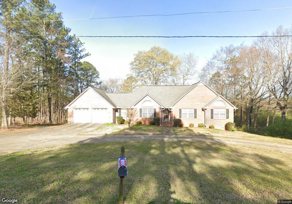
1 The Trail SE Lindale, GA 30147
Estimated Value: $330,000 - $384,000
Studio
--
Bath
2,091
Sq Ft
$168/Sq Ft
Est. Value
About This Home
This home is located at 1 The Trail SE, Lindale, GA 30147 and is currently estimated at $350,289, approximately $167 per square foot. 1 The Trail SE is a home located in Floyd County with nearby schools including Pepperell Middle School and Pepperell High School.
Ownership History
Date
Name
Owned For
Owner Type
Purchase Details
Closed on
Mar 21, 2003
Sold by
Winters Gene W
Bought by
Roberson Linwood P and Rober Jessie D
Current Estimated Value
Purchase Details
Closed on
Jan 21, 1998
Sold by
Winters Gene W and Mitchell Mark E
Bought by
Winters Gene W
Purchase Details
Closed on
Jun 13, 1996
Sold by
Montgomery Greg
Bought by
Winters Gene W and Mitchell Mark E
Purchase Details
Closed on
Mar 29, 1996
Sold by
Munchak Theodore J
Bought by
Montgomery Greg
Purchase Details
Closed on
Sep 30, 1995
Bought by
P and R
Purchase Details
Closed on
Jan 27, 1970
Bought by
Munchak Theodore J
Create a Home Valuation Report for This Property
The Home Valuation Report is an in-depth analysis detailing your home's value as well as a comparison with similar homes in the area
Home Values in the Area
Average Home Value in this Area
Purchase History
| Date | Buyer | Sale Price | Title Company |
|---|---|---|---|
| Roberson Linwood P | $198,000 | -- | |
| Winters Gene W | $80,000 | -- | |
| Winters Gene W | $118,000 | -- | |
| Montgomery Greg | $104,400 | -- | |
| P | -- | -- | |
| Munchak Theodore J | -- | -- |
Source: Public Records
Tax History
| Year | Tax Paid | Tax Assessment Tax Assessment Total Assessment is a certain percentage of the fair market value that is determined by local assessors to be the total taxable value of land and additions on the property. | Land | Improvement |
|---|---|---|---|---|
| 2025 | $2,354 | $156,132 | $12,778 | $143,354 |
| 2024 | $2,354 | $156,132 | $12,778 | $143,354 |
| 2023 | $2,362 | $131,114 | $11,616 | $119,498 |
| 2022 | $2,349 | $111,603 | $9,583 | $102,020 |
| 2021 | $2,138 | $98,005 | $8,723 | $89,282 |
| 2020 | $2,079 | $93,939 | $7,585 | $86,354 |
| 2019 | $1,984 | $90,845 | $7,585 | $83,260 |
| 2018 | $1,913 | $87,330 | $7,224 | $80,106 |
| 2017 | $1,791 | $83,179 | $6,689 | $76,490 |
| 2016 | $1,790 | $82,400 | $6,680 | $75,720 |
| 2015 | $2,388 | $83,240 | $6,680 | $76,560 |
| 2014 | $2,388 | $80,465 | $6,680 | $73,785 |
Source: Public Records
Map
Nearby Homes
- 514 Booze Mountain Rd SE
- 126 E 2nd - Lindale St
- 23 The Trail SE
- 185 Marion Dairy Rd SE
- 0 Booze Mountain Rd Unit 10580353
- 1380 Old Cedartown Rd SE
- 1046 Old Cedartown Rd SE
- 302 Strawberry Ln SE
- 405 Strawberry Ln SE
- 405 Strawberry Ln SE Unit LINDALE
- 0 College View Dr SW Unit 10655489
- 0 College View Dr SW Unit 10655483
- 65 Vanns Valley Rd SW
- 0 Vanns Valley Rd SW Unit 7589183
- 0 Vanns Valley Rd SW Unit 10534224
- 791 Park Ave SE
- 2763 Cedartown Hwy SE
- 12 Indian River Rd SE
- 38 Lakeview Dr SE
- 317 Garden Ave SE
- 3 The Trail SE
- 2 The Trail SE
- 5 The Trail SE
- 584 Booze Mountain Rd SE
- 10 Marion Dairy Rd SE
- 7 The Trail SE
- 20A Marion Dairy Rd SE
- 6 The Trail SE
- 36 Marion Dairy Rd SE
- 9 The Trail SE
- 486 Booze Mountain Rd SE
- 8 The Trail SE
- 11 The Trail SE
- 109 E St
- 10 The Trail SE
- 312 Flora Ave SE
- 15 The Trail SE
- 15 The Trail SE
- 15 The Trail SE
- 12 The Trail SE
Your Personal Tour Guide
Ask me questions while you tour the home.