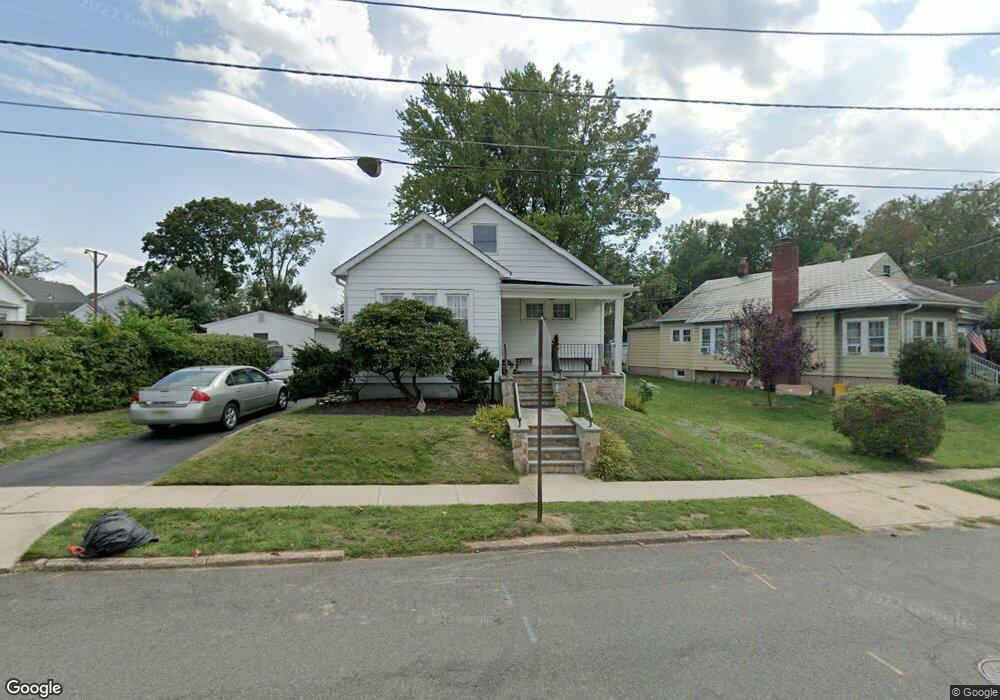
1 Thurston Ave Ewing, NJ 08618
Parkway Village NeighborhoodEstimated Value: $273,251 - $423,000
Studio
--
Bath
1,487
Sq Ft
$233/Sq Ft
Est. Value
About This Home
This home is located at 1 Thurston Ave, Ewing, NJ 08618 and is currently estimated at $346,813, approximately $233 per square foot. 1 Thurston Ave is a home located in Mercer County with nearby schools including Ewing High School, Paul Robeson Charter School For The Humanities, and Trenton Stem-To-Civics Charter School.
Ownership History
Date
Name
Owned For
Owner Type
Purchase Details
Closed on
Feb 7, 2020
Sold by
Storer Jeffrey S and Storer Leanne D
Bought by
Storer Leanne D
Current Estimated Value
Home Financials for this Owner
Home Financials are based on the most recent Mortgage that was taken out on this home.
Original Mortgage
$156,000
Outstanding Balance
$136,779
Interest Rate
3.1%
Mortgage Type
New Conventional
Estimated Equity
$210,035
Purchase Details
Closed on
Feb 24, 1995
Sold by
Smallwood Ruth A
Bought by
Storer Jeffrey and Storer Leanne
Home Financials for this Owner
Home Financials are based on the most recent Mortgage that was taken out on this home.
Original Mortgage
$77,000
Interest Rate
9.09%
Mortgage Type
Purchase Money Mortgage
Create a Home Valuation Report for This Property
The Home Valuation Report is an in-depth analysis detailing your home's value as well as a comparison with similar homes in the area
Home Values in the Area
Average Home Value in this Area
Purchase History
| Date | Buyer | Sale Price | Title Company |
|---|---|---|---|
| Storer Leanne D | -- | Amrock Inc | |
| Storer Jeffrey | $85,000 | -- |
Source: Public Records
Mortgage History
| Date | Status | Borrower | Loan Amount |
|---|---|---|---|
| Open | Storer Leanne D | $156,000 | |
| Closed | Storer Jeffrey | $77,000 |
Source: Public Records
Tax History
| Year | Tax Paid | Tax Assessment Tax Assessment Total Assessment is a certain percentage of the fair market value that is determined by local assessors to be the total taxable value of land and additions on the property. | Land | Improvement |
|---|---|---|---|---|
| 2025 | $6,438 | $163,700 | $47,500 | $116,200 |
| 2024 | $6,052 | $163,700 | $47,500 | $116,200 |
| 2023 | $6,052 | $163,700 | $47,500 | $116,200 |
| 2022 | $5,888 | $163,700 | $47,500 | $116,200 |
| 2021 | $5,744 | $163,700 | $47,500 | $116,200 |
| 2020 | $5,662 | $163,700 | $47,500 | $116,200 |
| 2019 | $5,515 | $163,700 | $47,500 | $116,200 |
| 2018 | $5,509 | $104,300 | $24,400 | $79,900 |
| 2017 | $5,637 | $104,300 | $24,400 | $79,900 |
| 2016 | $5,561 | $104,300 | $24,400 | $79,900 |
| 2015 | $5,487 | $104,300 | $24,400 | $79,900 |
| 2014 | $5,473 | $104,300 | $24,400 | $79,900 |
Source: Public Records
Map
Nearby Homes
- 50 Groveland Ave
- 24 Glen Stewart Dr
- 24 Keswick Ave
- 643 Concord Cir
- 9 Weston Rd
- 124 Hawthorne Ave
- 955 Terrace Blvd
- 530 Greenway Ave
- 56 Ridgewood Ave
- 5 Pershing Ave
- 768 Parkway Ave
- 161 Louisiana Ave
- 644 Parkway Ave
- 27 Walton Ave
- 1410 Pennington Rd
- 35 Rosedale Ave
- 16 Ranchwood Dr
- 584 Parkway Ave
- 268 Weber Ave
- 22 Farrell Ave
- 3 Thurston Ave
- 1585 Pennington Rd
- 5 Thurston Ave
- 1579 Pennington Rd
- 7 Thurston Ave
- 4 Thurston Ave
- 1575 Pennington Rd
- 9 Thurston Ave
- 2 Thurston Ave
- 1595 Pennington Rd
- 8 Thurston Ave
- 44 Harrop Place
- 48 Harrop Place
- 1571 Pennington Rd
- 11 Thurston Ave
- 10 Thurston Ave
- 12 Thurston Ave
- 13 Thurston Ave
- 50 Harrop Place
- 16 Thurston Ave
Your Personal Tour Guide
Ask me questions while you tour the home.