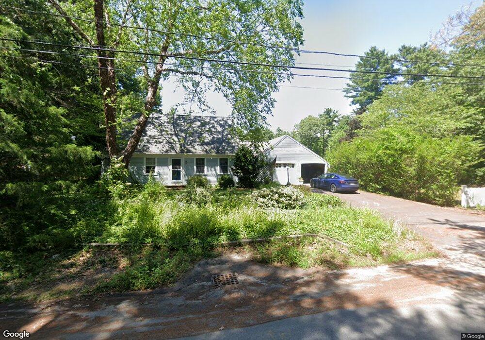
1 Tims Point Rd Wareham, MA 02571
Estimated Value: $584,590 - $786,000
3
Beds
2
Baths
1,956
Sq Ft
$343/Sq Ft
Est. Value
About This Home
This home is located at 1 Tims Point Rd, Wareham, MA 02571 and is currently estimated at $670,648, approximately $342 per square foot. 1 Tims Point Rd is a home located in Plymouth County with nearby schools including Tabor Academy.
Ownership History
Date
Name
Owned For
Owner Type
Purchase Details
Closed on
Sep 24, 2004
Sold by
Conlon Robert and Millar-Conlon Mariann
Bought by
Davis Howard C and Ragle-Davis Robin H
Current Estimated Value
Home Financials for this Owner
Home Financials are based on the most recent Mortgage that was taken out on this home.
Original Mortgage
$312,000
Outstanding Balance
$154,675
Interest Rate
5.89%
Mortgage Type
Purchase Money Mortgage
Estimated Equity
$515,973
Purchase Details
Closed on
Aug 2, 2002
Sold by
Mestieri-Pesta Debroah
Bought by
Conlon Robert and Millar-Conlon Mariann
Create a Home Valuation Report for This Property
The Home Valuation Report is an in-depth analysis detailing your home's value as well as a comparison with similar homes in the area
Purchase History
| Date | Buyer | Sale Price | Title Company |
|---|---|---|---|
| Davis Howard C | $390,000 | -- | |
| Davis Howard C | $390,000 | -- | |
| Conlon Robert | $349,900 | -- |
Source: Public Records
Mortgage History
| Date | Status | Borrower | Loan Amount |
|---|---|---|---|
| Open | Conlon Robert | $312,000 | |
| Closed | Conlon Robert | $312,000 |
Source: Public Records
Tax History
| Year | Tax Paid | Tax Assessment Tax Assessment Total Assessment is a certain percentage of the fair market value that is determined by local assessors to be the total taxable value of land and additions on the property. | Land | Improvement |
|---|---|---|---|---|
| 2025 | $5,165 | $495,700 | $127,400 | $368,300 |
| 2024 | $5,482 | $488,200 | $101,500 | $386,700 |
| 2023 | $4,741 | $432,100 | $92,200 | $339,900 |
| 2022 | $4,741 | $359,700 | $92,200 | $267,500 |
| 2021 | $4,666 | $346,900 | $92,200 | $254,700 |
| 2020 | $4,430 | $334,100 | $92,200 | $241,900 |
| 2019 | $4,174 | $314,100 | $93,600 | $220,500 |
| 2018 | $3,842 | $281,900 | $93,600 | $188,300 |
| 2017 | $3,684 | $273,900 | $93,600 | $180,300 |
| 2016 | $3,542 | $261,800 | $93,600 | $168,200 |
| 2015 | $3,422 | $261,800 | $93,600 | $168,200 |
| 2014 | $3,338 | $259,800 | $93,600 | $166,200 |
Source: Public Records
Map
Nearby Homes
- 15 14th Ave
- 233 Marion Rd
- 9 Woodville Way
- 6 Bourne Terrace
- 3 Cranberry Grove Way Unit C
- 4 Mather Dr
- 19 Station St
- 7 Maud Palmer Dr
- 437 Main St
- 17 Station St
- 1 Emma Ln Unit B
- 14 Briarwood Dr
- 12 Taft St
- 110 Mayflower Ridge Dr
- 15 Broadmarsh Ave
- 6 Wildwood Ave
- 4 Roosevelt St
- 20 Grant St
- 6 Allen Ave
- 21 Bayview St
- 3 Tims Point Rd
- 5 Whispering Pines Dr
- 2 Tims Point Rd
- 144 Hathaway St
- 144 Hathaway St
- 141 Hathaway St
- 15 Whispering Pines Dr Unit 4
- 5 Whispering Pines Dr
- 143 Hathaway St
- 11 Whispering Pines Dr
- 4 Tims Point Rd
- 5 Tims Point Rd
- 139 Hathaway St
- 147 Hathaway St
- 138 Hathaway St
- 137 Hathaway St
- 6 Tims Point Rd
- 7 Tims Point Rd
- 149 Hathaway St
- 0 17th Ave
Your Personal Tour Guide
Ask me questions while you tour the home.