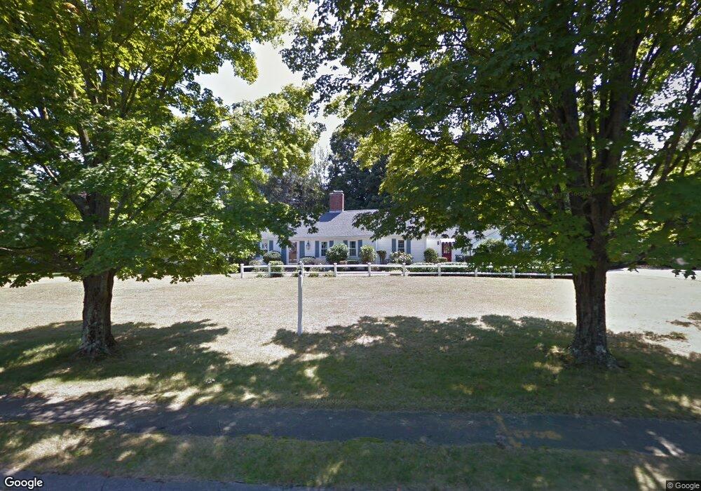
1 Townsend Rd Lynnfield, MA 01940
Estimated Value: $1,201,000 - $1,473,000
4
Beds
3
Baths
2,774
Sq Ft
$462/Sq Ft
Est. Value
About This Home
This home is located at 1 Townsend Rd, Lynnfield, MA 01940 and is currently estimated at $1,281,422, approximately $461 per square foot. 1 Townsend Rd is a home located in Essex County with nearby schools including Lynnfield Middle School, Lynnfield High School, and Odyssey Day School.
Ownership History
Date
Name
Owned For
Owner Type
Purchase Details
Closed on
Aug 5, 2025
Sold by
Derosa Kathleen
Bought by
Derosa Ret and Derosa
Current Estimated Value
Purchase Details
Closed on
May 2, 2025
Sold by
Derosa Glenn A
Bought by
Derosa Kathleen M
Purchase Details
Closed on
May 27, 2020
Sold by
Derosa Glenn A and Derosa Kathleen M
Bought by
Derosa Glenn A and Derosa Kathleen M
Purchase Details
Closed on
May 1, 1998
Sold by
Matejik Mark F and Matejik Mia A
Bought by
Derosa Glenn A and Derosa Kathleen
Home Financials for this Owner
Home Financials are based on the most recent Mortgage that was taken out on this home.
Original Mortgage
$164,000
Interest Rate
7.03%
Create a Home Valuation Report for This Property
The Home Valuation Report is an in-depth analysis detailing your home's value as well as a comparison with similar homes in the area
Home Values in the Area
Average Home Value in this Area
Purchase History
| Date | Buyer | Sale Price | Title Company |
|---|---|---|---|
| Derosa Ret | -- | -- | |
| Derosa Kathleen M | -- | None Available | |
| Derosa Kathleen M | -- | None Available | |
| Derosa Glenn A | -- | None Available | |
| Derosa Glenn A | $359,000 | -- | |
| Derosa Glenn A | $359,000 | -- |
Source: Public Records
Mortgage History
| Date | Status | Borrower | Loan Amount |
|---|---|---|---|
| Previous Owner | Derosa Glenn A | $249,000 | |
| Previous Owner | Derosa Glenn A | $164,000 | |
| Previous Owner | Derosa Glenn A | $164,000 |
Source: Public Records
Tax History
| Year | Tax Paid | Tax Assessment Tax Assessment Total Assessment is a certain percentage of the fair market value that is determined by local assessors to be the total taxable value of land and additions on the property. | Land | Improvement |
|---|---|---|---|---|
| 2025 | $11,384 | $1,078,000 | $766,000 | $312,000 |
| 2024 | $11,000 | $1,046,600 | $743,700 | $302,900 |
| 2023 | $10,594 | $937,500 | $658,700 | $278,800 |
| 2022 | $10,269 | $856,500 | $616,200 | $240,300 |
| 2021 | $9,769 | $736,200 | $510,000 | $226,200 |
| 2020 | $9,598 | $689,500 | $463,300 | $226,200 |
| 2019 | $9,206 | $661,800 | $435,600 | $226,200 |
| 2018 | $8,951 | $650,500 | $435,600 | $214,900 |
| 2017 | $8,964 | $650,500 | $435,600 | $214,900 |
| 2016 | $9,280 | $640,000 | $435,600 | $204,400 |
| 2015 | $8,507 | $587,100 | $391,900 | $195,200 |
Source: Public Records
Map
Nearby Homes
- 2 Bridle Path
- 25 Apple Hill Ln
- 3 Willard Ln
- 18 Heritage Ln
- 4 Green Meadow Dr
- 415 Lowell St
- 35 Lincoln Ave
- 9 Oxbow Rd
- 159 Main St
- 17 Marshall St
- 4 Hickory Ln
- 35 Homestead Rd
- 15 Park St Unit A
- 15 Park St Unit B
- 15 Park St
- 11 Elizabeth Way
- 8 Cranberry Meadow Way
- 25 Wakefield St
- 9 Tuttle Ln
- 15 Fairway Ln Unit 55
- 321 Chestnut St
- 3 Townsend Rd
- 340 Chestnut St
- 345 Chestnut St
- 345 Chestnut St Unit 345
- 324 Chestnut St
- 4 Townsend Rd
- 1 Charing Cross
- 344 Chestnut St
- 2 Townsend Rd
- 303 Chestnut St
- 5 Townsend Rd
- 2 Charing Cross
- 4 Needham Rd
- 350 Chestnut St
- 3 Charing Cross
- 6 Townsend Rd
- 4 Charing Cross
- 353 Chestnut St
- 308 Chestnut St
Your Personal Tour Guide
Ask me questions while you tour the home.