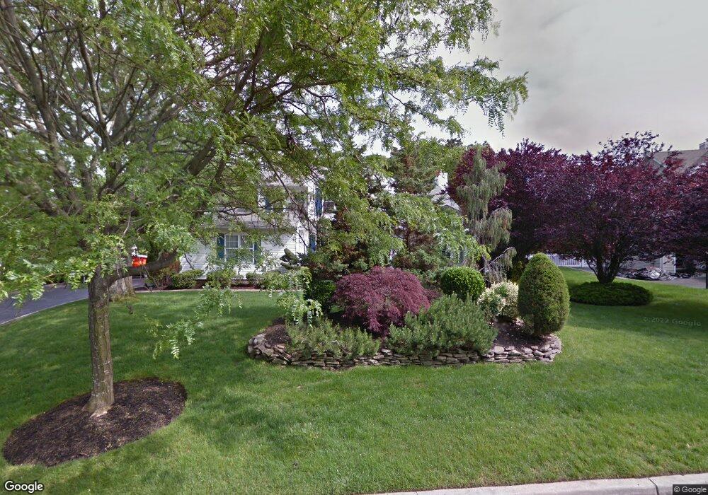
1 Tree Top Path Nesconset, NY 11767
Estimated Value: $902,552 - $987,000
4
Beds
3
Baths
2,123
Sq Ft
$439/Sq Ft
Est. Value
About This Home
This home is located at 1 Tree Top Path, Nesconset, NY 11767 and is currently estimated at $931,888, approximately $438 per square foot. 1 Tree Top Path is a home located in Suffolk County with nearby schools including Tackan Elementary School and St Patrick Elementary School.
Ownership History
Date
Name
Owned For
Owner Type
Purchase Details
Closed on
Jan 10, 2023
Sold by
Bory Jill and Caliano Alfred
Bought by
Jill Bory Ret and Bory
Current Estimated Value
Purchase Details
Closed on
Dec 6, 2016
Sold by
Mestousis Steven and Mestousis Melissa
Bought by
Bory Jill and Caliano Alfred
Home Financials for this Owner
Home Financials are based on the most recent Mortgage that was taken out on this home.
Original Mortgage
$445,600
Interest Rate
3.57%
Mortgage Type
New Conventional
Purchase Details
Closed on
May 14, 2004
Sold by
Hickey Sean B and Hickey Annmarie D
Bought by
Mestousis Steven and Mittwoch Melissa
Home Financials for this Owner
Home Financials are based on the most recent Mortgage that was taken out on this home.
Original Mortgage
$468,000
Interest Rate
5.88%
Mortgage Type
Purchase Money Mortgage
Create a Home Valuation Report for This Property
The Home Valuation Report is an in-depth analysis detailing your home's value as well as a comparison with similar homes in the area
Home Values in the Area
Average Home Value in this Area
Purchase History
| Date | Buyer | Sale Price | Title Company |
|---|---|---|---|
| Jill Bory Ret | -- | None Available | |
| Bory Jill | $557,000 | None Available | |
| Mestousis Steven | $585,000 | Chicago Title Insurance Co |
Source: Public Records
Mortgage History
| Date | Status | Borrower | Loan Amount |
|---|---|---|---|
| Previous Owner | Bory Jill | $445,600 | |
| Previous Owner | Mestousis Steven | $468,000 |
Source: Public Records
Tax History
| Year | Tax Paid | Tax Assessment Tax Assessment Total Assessment is a certain percentage of the fair market value that is determined by local assessors to be the total taxable value of land and additions on the property. | Land | Improvement |
|---|---|---|---|---|
| 2024 | $14,299 | $6,100 | $480 | $5,620 |
| 2023 | $14,299 | $6,100 | $480 | $5,620 |
| 2022 | $12,765 | $6,100 | $480 | $5,620 |
| 2021 | $12,765 | $6,100 | $480 | $5,620 |
| 2020 | $13,624 | $6,100 | $480 | $5,620 |
| 2019 | $13,624 | $0 | $0 | $0 |
| 2018 | -- | $6,100 | $480 | $5,620 |
| 2017 | $11,681 | $6,100 | $480 | $5,620 |
| 2016 | $12,910 | $6,100 | $480 | $5,620 |
| 2015 | -- | $6,100 | $480 | $5,620 |
| 2014 | -- | $6,100 | $480 | $5,620 |
Source: Public Records
Map
Nearby Homes
- 29 Lawrence Dr
- 39 Joseph Place
- 4 Blackwell Rd
- 246 Southern Blvd
- 41 Locust Dr
- 61 Pine Dr
- 177 San Juan Dr
- 132 Midwood Ave
- 87 Mayfair Rd
- 85 Richmond Blvd Unit 4A
- 73 Richmond Blvd Unit 3B
- 113 Dakota St
- 255 N 7th St
- 42 Maple Glen Ln
- 106 Southern Blvd
- 53 W 8th St
- 20 Wilson Ave
- 310 Smithtown Blvd
- 56 Richmond Blvd Unit 2B
- 58 Hauppauge Rd
Your Personal Tour Guide
Ask me questions while you tour the home.