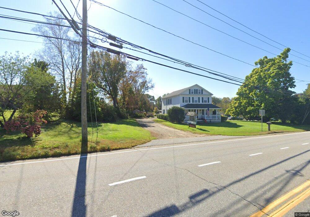
1 Viewpoint Dr Ashford, CT 06278
Estimated Value: $268,000 - $303,000
3
Beds
1
Bath
952
Sq Ft
$295/Sq Ft
Est. Value
About This Home
This home is located at 1 Viewpoint Dr, Ashford, CT 06278 and is currently estimated at $280,706, approximately $294 per square foot. 1 Viewpoint Dr is a home located in Windham County with nearby schools including Ashford School and E.O. Smith High School.
Ownership History
Date
Name
Owned For
Owner Type
Purchase Details
Closed on
Aug 24, 2001
Sold by
Est Mcauliffe Edward and Mcauliffe Edward
Bought by
Ridley Phillip A
Current Estimated Value
Home Financials for this Owner
Home Financials are based on the most recent Mortgage that was taken out on this home.
Original Mortgage
$83,341
Interest Rate
7.21%
Create a Home Valuation Report for This Property
The Home Valuation Report is an in-depth analysis detailing your home's value as well as a comparison with similar homes in the area
Home Values in the Area
Average Home Value in this Area
Purchase History
| Date | Buyer | Sale Price | Title Company |
|---|---|---|---|
| Ridley Phillip A | $84,000 | -- | |
| Ridley Phillip A | $84,000 | -- |
Source: Public Records
Mortgage History
| Date | Status | Borrower | Loan Amount |
|---|---|---|---|
| Open | Ridley Phillip A | $74,014 | |
| Closed | Ridley Phillip A | $15,000 | |
| Closed | Ridley Phillip A | $86,500 | |
| Closed | Ridley Phillip A | $83,341 |
Source: Public Records
Tax History
| Year | Tax Paid | Tax Assessment Tax Assessment Total Assessment is a certain percentage of the fair market value that is determined by local assessors to be the total taxable value of land and additions on the property. | Land | Improvement |
|---|---|---|---|---|
| 2025 | $4,041 | $111,090 | $42,280 | $68,810 |
| 2024 | $3,817 | $111,090 | $42,280 | $68,810 |
| 2023 | $3,676 | $111,090 | $42,280 | $68,810 |
| 2022 | $3,585 | $111,090 | $42,280 | $68,810 |
| 2021 | $3,121 | $85,800 | $28,000 | $57,800 |
| 2020 | $3,161 | $85,800 | $28,000 | $57,800 |
| 2019 | $3,042 | $85,800 | $28,000 | $57,800 |
| 2018 | $2,983 | $85,800 | $28,000 | $57,800 |
| 2017 | $2,949 | $85,800 | $28,000 | $57,800 |
| 2016 | $2,978 | $92,000 | $34,400 | $57,600 |
| 2015 | $3,032 | $92,000 | $34,400 | $57,600 |
| 2014 | $2,959 | $92,000 | $34,400 | $57,600 |
Source: Public Records
Map
Nearby Homes
- 144 Hnath Rd
- 37 Potter School Rd
- 2 Old Barrows Rd
- 113 Michelec Rd
- 21 Fermier Rd
- 894 Buckley Hwy
- 0 Lohse Rd Unit map 42 block 21
- 21 Ashley Ln
- 425 Stickney Hill Rd
- 483 North Rd
- 0 Jared Sparks Rd
- 28 Cemetery Rd
- 3 Valery Rd
- 46 Village Hill Rd
- 5 Nahaco Hill Ln
- 113 Ashford Rd Unit 113
- 35 Stafford St
- 123 Ashford Rd Unit 1
- 88 Stafford St
- 102 Krapf Rd
Your Personal Tour Guide
Ask me questions while you tour the home.