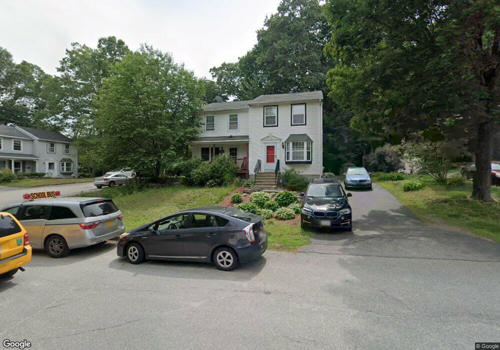
1 Ward Farm Cir Worcester, MA 01602
Webster Square NeighborhoodEstimated Value: $337,000 - $364,000
2
Beds
3
Baths
1,080
Sq Ft
$325/Sq Ft
Est. Value
About This Home
This home is located at 1 Ward Farm Cir, Worcester, MA 01602 and is currently estimated at $351,375, approximately $325 per square foot. 1 Ward Farm Cir is a home located in Worcester County with nearby schools including Tatnuck Magnet School, Chandler Magnet, and Jacob Hiatt Magnet School.
Ownership History
Date
Name
Owned For
Owner Type
Purchase Details
Closed on
Jul 29, 2019
Sold by
Goddhue Nathan O
Bought by
Sneade Dana K
Current Estimated Value
Home Financials for this Owner
Home Financials are based on the most recent Mortgage that was taken out on this home.
Original Mortgage
$201,286
Outstanding Balance
$176,650
Interest Rate
3.8%
Mortgage Type
FHA
Estimated Equity
$174,725
Purchase Details
Closed on
May 30, 2007
Sold by
Norman Stephanie K
Bought by
Goodhue Nathan O
Home Financials for this Owner
Home Financials are based on the most recent Mortgage that was taken out on this home.
Original Mortgage
$197,400
Interest Rate
6.24%
Mortgage Type
Purchase Money Mortgage
Purchase Details
Closed on
Jul 20, 2001
Sold by
Burroughs Beverly
Bought by
Norman Stephanie K
Purchase Details
Closed on
Dec 10, 1996
Sold by
Hanley Katherine R
Bought by
Burroughs Beverly
Create a Home Valuation Report for This Property
The Home Valuation Report is an in-depth analysis detailing your home's value as well as a comparison with similar homes in the area
Home Values in the Area
Average Home Value in this Area
Purchase History
| Date | Buyer | Sale Price | Title Company |
|---|---|---|---|
| Sneade Dana K | $205,000 | Taylor Abstract Co Title | |
| Goodhue Nathan O | $197,400 | -- | |
| Norman Stephanie K | $127,000 | -- | |
| Burroughs Beverly | $69,000 | -- |
Source: Public Records
Mortgage History
| Date | Status | Borrower | Loan Amount |
|---|---|---|---|
| Open | Sneade Dana K | $201,286 | |
| Previous Owner | Burroughs Beverly | $194,531 | |
| Previous Owner | Burroughs Beverly | $198,921 | |
| Previous Owner | Goodhue Nathan O | $197,400 |
Source: Public Records
Tax History
| Year | Tax Paid | Tax Assessment Tax Assessment Total Assessment is a certain percentage of the fair market value that is determined by local assessors to be the total taxable value of land and additions on the property. | Land | Improvement |
|---|---|---|---|---|
| 2025 | $3,804 | $288,400 | $75,400 | $213,000 |
| 2024 | $3,619 | $263,200 | $75,400 | $187,800 |
| 2023 | $3,437 | $239,700 | $65,600 | $174,100 |
| 2022 | $3,100 | $203,800 | $52,500 | $151,300 |
| 2021 | $2,926 | $179,700 | $42,000 | $137,700 |
| 2020 | $2,912 | $171,300 | $41,700 | $129,600 |
| 2019 | $2,785 | $154,700 | $36,400 | $118,300 |
| 2018 | $2,789 | $147,500 | $36,400 | $111,100 |
| 2017 | $2,624 | $136,500 | $36,400 | $100,100 |
| 2016 | $2,566 | $124,500 | $26,500 | $98,000 |
| 2015 | $2,499 | $124,500 | $26,500 | $98,000 |
| 2014 | $2,433 | $124,500 | $26,500 | $98,000 |
Source: Public Records
Map
Nearby Homes
- 57 1st St
- 34 Scandinavia Ave
- 128 Wildwood Ave
- 215 Mill St Unit 113
- 215 Mill St Unit 115
- 22 Outlook Dr
- 5 Swan Ave
- 11 Timrod Dr
- 66 Ledgecrest Dr
- 31 B Gates Rd Unit 22R
- 37 Gates Rd
- 56 Goddard Memorial Dr
- 34 Rosslare Dr Unit 108
- 415 Mill St
- 26 Sylvan St
- 32 Goddard Memorial Dr
- 27 Montague St
- 13 Merchant St
- 211 June St Unit 2
- 2 Montague St
Your Personal Tour Guide
Ask me questions while you tour the home.