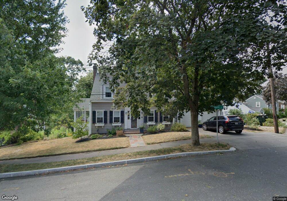
1 Welgate Cir Quincy, MA 02170
West Quincy NeighborhoodEstimated Value: $772,000 - $854,000
3
Beds
2
Baths
1,759
Sq Ft
$466/Sq Ft
Est. Value
About This Home
This home is located at 1 Welgate Cir, Quincy, MA 02170 and is currently estimated at $819,409, approximately $465 per square foot. 1 Welgate Cir is a home located in Norfolk County with nearby schools including Charles A. Bernazzani Elementary School, Central Middle School, and North Quincy High School.
Ownership History
Date
Name
Owned For
Owner Type
Purchase Details
Closed on
Dec 6, 2024
Sold by
Haskins Mary A
Bought by
Mary Anne Haskins Ret and Haskins
Current Estimated Value
Purchase Details
Closed on
Oct 23, 1984
Bought by
Haskins Joseph T
Create a Home Valuation Report for This Property
The Home Valuation Report is an in-depth analysis detailing your home's value as well as a comparison with similar homes in the area
Home Values in the Area
Average Home Value in this Area
Purchase History
| Date | Buyer | Sale Price | Title Company |
|---|---|---|---|
| Mary Anne Haskins Ret | -- | None Available | |
| Mary Anne Haskins Ret | -- | None Available | |
| Haskins Joseph T | $120,000 | -- |
Source: Public Records
Mortgage History
| Date | Status | Borrower | Loan Amount |
|---|---|---|---|
| Previous Owner | Haskins Joseph T | $210,000 | |
| Previous Owner | Haskins Joseph T | $98,000 | |
| Previous Owner | Haskins Joseph T | $32,000 |
Source: Public Records
Tax History Compared to Growth
Tax History
| Year | Tax Paid | Tax Assessment Tax Assessment Total Assessment is a certain percentage of the fair market value that is determined by local assessors to be the total taxable value of land and additions on the property. | Land | Improvement |
|---|---|---|---|---|
| 2025 | $9,347 | $810,700 | $461,600 | $349,100 |
| 2024 | $9,371 | $831,500 | $461,600 | $369,900 |
| 2023 | $8,739 | $785,200 | $439,600 | $345,600 |
| 2022 | $7,951 | $663,700 | $322,800 | $340,900 |
| 2021 | $7,808 | $643,200 | $322,800 | $320,400 |
| 2020 | $7,997 | $643,400 | $322,800 | $320,600 |
| 2019 | $7,332 | $584,200 | $301,800 | $282,400 |
| 2018 | $7,116 | $533,400 | $262,000 | $271,400 |
| 2017 | $6,894 | $486,500 | $274,500 | $212,000 |
| 2016 | $6,343 | $441,700 | $245,100 | $196,600 |
| 2015 | $5,888 | $403,300 | $222,900 | $180,400 |
| 2014 | $5,846 | $393,400 | $216,300 | $177,100 |
Source: Public Records
Map
Nearby Homes
- 10 White St
- 89 Puritan Dr
- 73 Connell St
- 121 Hillside Ave
- 18 Eaton St
- 25 Carrolls Ln
- 169 Pine St
- 11 Rockwell Ave
- 171 Milton St
- 41 Wallace Rd
- 129-131 Pine St
- 1 Cityview Ln Unit 506
- 1 Cityview Ln Unit 709
- 45 Marion St
- 60 Pond St
- 72 Oakland Ave
- 200 Adams St
- 100 Grandview Ave Unit 11A
- 111 Warren Ave Unit 1F
- 465 Newport Ave
- 130 Reservoir Rd
- 7 Welgate Cir
- 127 Reservoir Rd
- 134 Reservoir Rd
- 119 Reservoir Rd
- 8 Welgate Cir
- 523 Adams St
- 529 Adams St
- 135 Reservoir Rd
- 511 Adams St
- 15 Welgate Cir
- 14 Myopia Rd
- 13 Welgate Cir
- 16 Welgate Cir
- 140 Reservoir Rd
- 110 Reservoir Rd
- 873 Furnace Brook Pkwy
- 145 Reservoir Rd
- 95 Reservoir Rd
- 24 Myopia Rd