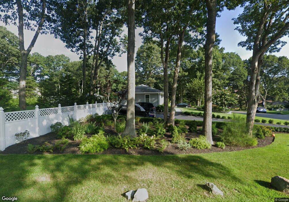
1 Westerly Rd Hampton Bays, NY 11946
Estimated Value: $850,201 - $1,000,000
3
Beds
2
Baths
1,208
Sq Ft
$752/Sq Ft
Est. Value
About This Home
This home is located at 1 Westerly Rd, Hampton Bays, NY 11946 and is currently estimated at $908,050, approximately $751 per square foot. 1 Westerly Rd is a home located in Suffolk County with nearby schools including Hampton Bays Secondary School, Hampton Bays Elementary School, and Hampton Bays Middle School.
Ownership History
Date
Name
Owned For
Owner Type
Purchase Details
Closed on
May 6, 2015
Sold by
James Sharyn Silverman
Bought by
Patino Wilbert E and Patino Nichole L
Current Estimated Value
Home Financials for this Owner
Home Financials are based on the most recent Mortgage that was taken out on this home.
Original Mortgage
$338,751
Outstanding Balance
$262,748
Interest Rate
3.87%
Mortgage Type
FHA
Estimated Equity
$645,302
Purchase Details
Closed on
Aug 6, 1997
Sold by
Giarro Andrew and Giarro Rocco
Bought by
Mortise Armand D and Morales Linda
Create a Home Valuation Report for This Property
The Home Valuation Report is an in-depth analysis detailing your home's value as well as a comparison with similar homes in the area
Home Values in the Area
Average Home Value in this Area
Purchase History
| Date | Buyer | Sale Price | Title Company |
|---|---|---|---|
| Patino Wilbert E | $345,000 | None Available | |
| Mortise Armand D | $130,000 | -- |
Source: Public Records
Mortgage History
| Date | Status | Borrower | Loan Amount |
|---|---|---|---|
| Open | Patino Wilbert E | $338,751 |
Source: Public Records
Tax History
| Year | Tax Paid | Tax Assessment Tax Assessment Total Assessment is a certain percentage of the fair market value that is determined by local assessors to be the total taxable value of land and additions on the property. | Land | Improvement |
|---|---|---|---|---|
| 2024 | $6,224 | $403,200 | $208,800 | $194,400 |
| 2023 | $6,224 | $403,200 | $208,800 | $194,400 |
| 2022 | $6,664 | $403,200 | $208,800 | $194,400 |
| 2021 | $6,664 | $403,200 | $208,800 | $194,400 |
| 2020 | $6,756 | $403,200 | $208,800 | $194,400 |
| 2019 | $6,756 | $0 | $0 | $0 |
| 2018 | -- | $415,000 | $235,500 | $179,500 |
| 2017 | $6,806 | $380,000 | $227,500 | $152,500 |
| 2016 | $6,353 | $359,100 | $226,700 | $132,400 |
| 2015 | -- | $384,300 | $251,900 | $132,400 |
| 2014 | -- | $384,300 | $251,900 | $132,400 |
Source: Public Records
Map
Nearby Homes
- 3 Emily Ct
- 12 Wakefield Rd
- 19 Bay Woods Dr
- 10 Bay Woods Dr
- 67 Squiretown Rd
- 105 Old Riverhead Rd
- 98 Squiretown Rd
- 1A Jackson Ave Unit A
- 13 Bittersweet Ave S
- 42 Bittersweet Ave
- 87 Washington Heights Ave
- 7 Fanning Ave
- 9 Fanning Ave
- 5 B Fanning Ave
- 9 Debbie Trail
- 14 E Landing Rd
- 3A Suffolk Rd
- 4 Douglas Ct
- 12 George St
- 27 Newtown Ct
- 3 Westerly Rd
- 2 Westerly Rd
- 21 S Peninsula Dr
- 23 S Peninsula Dr
- 5 Westerly Rd
- 5 Emily Ct
- 7 Emily Ct
- 19 S Peninsula Dr
- 4 Westerly Rd
- 25 S Peninsula Dr
- 17 S Peninsula Dr
- 6 Westerly Rd
- 7 Westerly Rd
- 10 S Peninsula Dr
- 8 Emily Ct
- 27 S Peninsula Dr
- 3 Wakefield Rd
- 17 Old Riverhead Rd
- 8 Westerly Rd
- 17 Old Riverhead Rd W
Your Personal Tour Guide
Ask me questions while you tour the home.